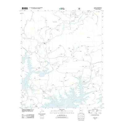
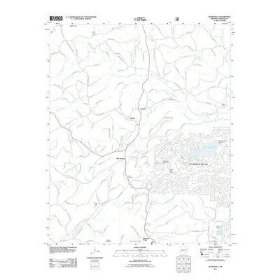
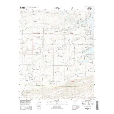
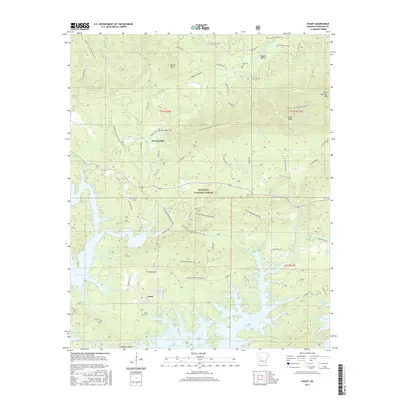
1962 Map of Avant
USGS Topo · Published 1977About this map
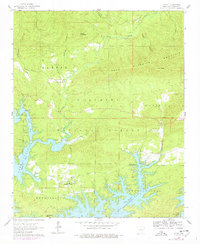
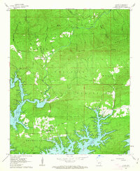
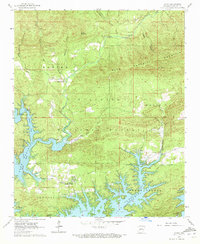
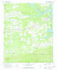
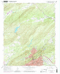
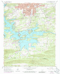
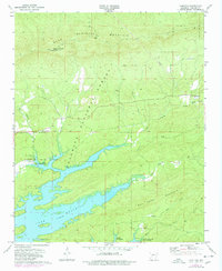
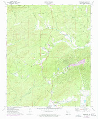
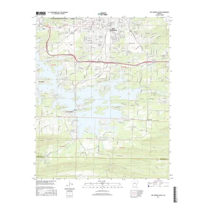
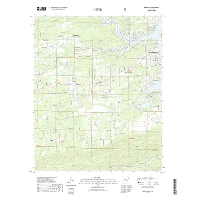
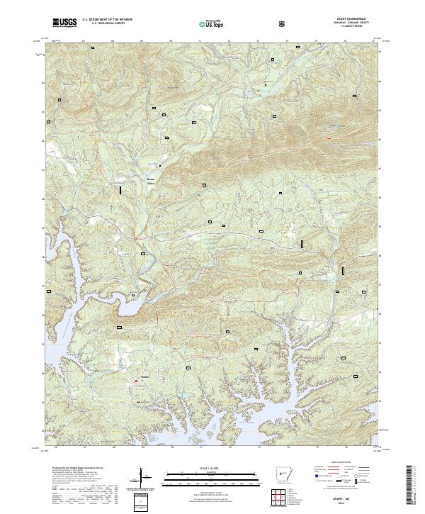
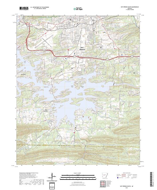
The sprawling waters of Lake Ouachita dominate this mid-century landscape, marking the transition from traditional river valley settlements to a recreation-focused geography. While much of the land is preserved within the Ouachita National Forest, the map records the enduring presence of small communities like Avant and Buckville. For those tracing family histories in this part of Garland County, the survey identifies several small burial grounds, including the Caldwell Cem, Mount Tabor Cem, and Daley Cem.
Find a feature on this map
30 named features on this map. Tap any name to fly to it.
Don’t see what you’re looking for? This feature index may not catch every label — zoom into the map to look around manually.
Map Details
Editions of this 1962 Avant Map
3 editions found
Historical Maps of Avant Through Time
36 maps found
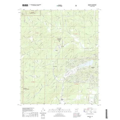
1962 Avant
Garland County, AR
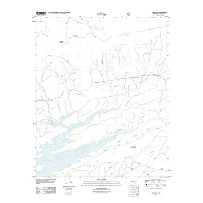
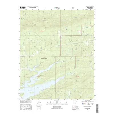
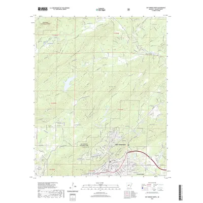
1966 Hempwallace
Garland County, AR
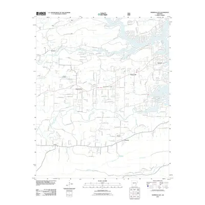
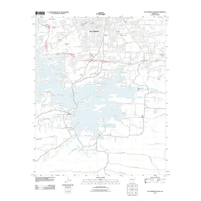
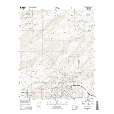
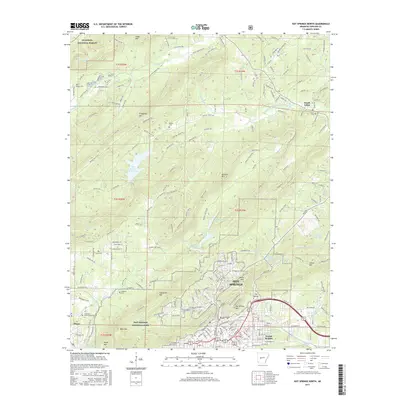
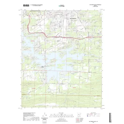
1966 Hot Springs North
Garland County, AR
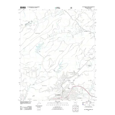
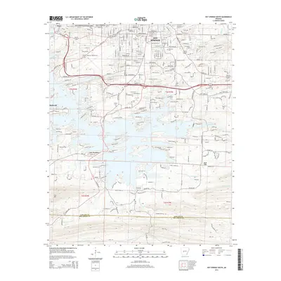
1966 Hot Springs South
Garland County, AR
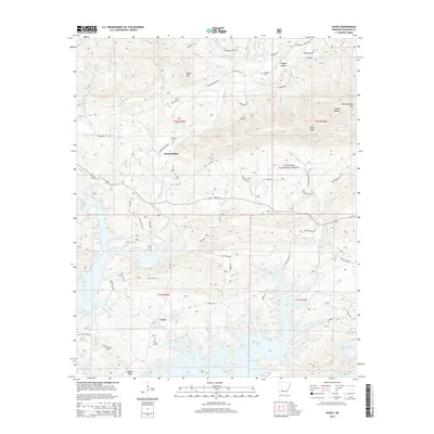
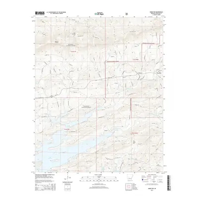
1972 Hamilton
Garland County, AR
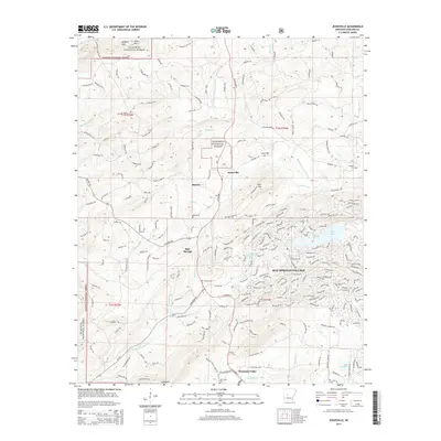
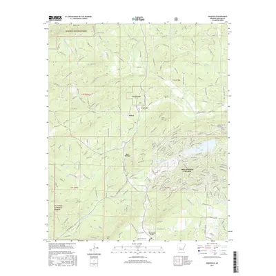
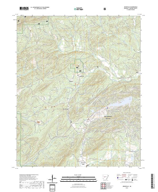
1972 Jessieville
Garland County, AR
2011 Avant
Garland County, AR
2011 Hamilton
Garland County, AR
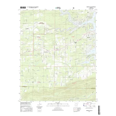
2011 Hempwallace
Garland County, AR
2011 Hot Springs North
Garland County, AR
2011 Hot Springs South
Garland County, AR
2011 Jessieville
Garland County, AR
2014 Avant
Garland County, AR
2014 Hamilton
Garland County, AR
2014 Hempwallace
Garland County, AR
2014 Hot Springs North
Garland County, AR
2014 Hot Springs South
Garland County, AR
2014 Jessieville
Garland County, AR
2017 Avant
Garland County, AR
2017 Hamilton
Garland County, AR
2017 Hempwallace
Garland County, AR
2017 Hot Springs North
Garland County, AR
2017 Hot Springs South
Garland County, AR
2017 Jessieville
Garland County, AR
2020 Avant
Garland County, AR
2020 Hamilton
Garland County, AR
2020 Hempwallace
Garland County, AR
2020 Hot Springs North
Garland County, AR
2020 Hot Springs South
Garland County, AR
2020 Jessieville
Garland County, AR
2024 Avant
Garland County, AR
2024 Hamilton
Garland County, AR
2024 Hempwallace
Garland County, AR
2024 Hot Springs North
Garland County, AR
2024 Hot Springs South
Garland County, AR
2024 Jessieville
Garland County, AR