Old Maps of Fountain Lake, Arkansas for Metal Detecting
Plan your next treasure hunt with 20 historic maps of Fountain Lake. Find old homesites, ghost towns, trails, and gathering spots that may be lost to time — perfect for identifying promising metal detecting locations.
- Locate forgotten sites: Uncover places like long-lost settlements, abandoned rail lines, or gathering spots.
- Plan better hunts: Use map overlays combined with LiDAR or satellite views to narrow in on historically rich areas.
- Made for detectorists: Thousands of hobbyists use these maps to discover relics, coins, and hidden history.
Use these historic maps to boost your research and find new opportunities beneath the surface of Fountain Lake.
Fountain Lake, AR maps
(20)- 1890 Map of Benton
 1890 Benton1890 Print · USGSSaline and Pulaski counties are shown here in the late nineteenth century as the rail network began to reshape the river-valley economy. Genealogists and researchers can trace family roots through old settlements like Brazils and Avilla or locate landmarks like Goosepond Mt and Aplin.
 - 1894 Map of Benton
 1894 Benton1894 Print · USGSCentral Arkansas in the late nineteenth century was a landscape of steep ridges and critical river crossings. Genealogists and researchers can trace the early rail corridor of the St. Louis Iron Mountain and Southern R. R. near Benton or locate family roots in Avilla and Brazils.5 unique versions available
 - 1955 Map of Little Rock, 1978 Print
 1955 Little Rock1978 Print · USGSCentral Arkansas in the mid-fifties exhibits a landscape of growing cities, massive military installations, and mountain reservoirs. Genealogists and historians can trace the industrial Bauxite Mines, regional rail lines, and local landmarks like Antioch Church.
 - 1956 Map of Little Rock
 1956 Little Rock1956 Print · USGSCentral Arkansas in the mid-fifties shows a landscape defined by burgeoning military bases and the timber-and-mineral wealth of the Ouachitas. Genealogists and researchers can trace old rail lines like the Missouri Pacific and find established communities such as Bauxite, Sheridan, and Mabelvale.
 - 1960 Map of Little Rock
 1960 Little Rock1960 Print · USGSCentral Arkansas in the late fifties shows a landscape of growing military bases and massive new reservoirs. Local historians can trace the mid-century expansion of Little Rock and Hot Springs alongside the industrial works at Bauxite and the Pine Bluff Arsenal.
 - 1964 Map of Little Rock
 1964 Little Rock1964 Print · USGSCentral Arkansas in the mid-sixties is a landscape of mountain ridges, industrial rail lines, and growing military hubs. Researchers can trace the development of Bauxite and Hot Springs or locate rural landmarks like Sparkman and the Pine Bluff Arsenal.
 - 1972 Map of Goosepond Mountain, 1974 Print
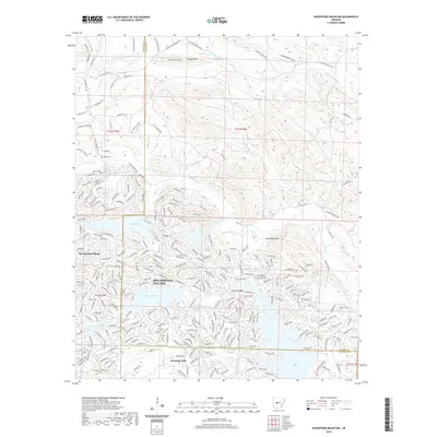
 1972 Goosepond Mountain1974 Print · USGSThe borderlands of Saline and Garland Counties are captured in the early 1970s during the early development of Hot Springs Village. Researchers can trace old family sites and local landmarks like Talley Cem, Antioch Ch, and the Lookout Tower on Goosepond Mountain.3 unique versions available
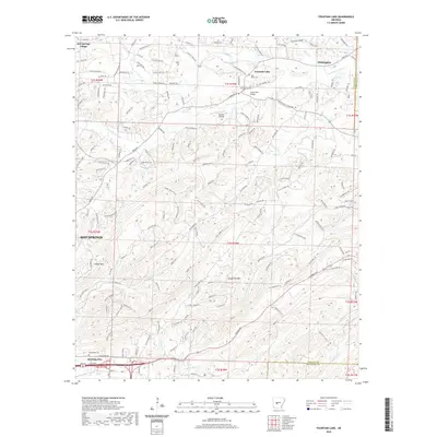
 - 1972 Map of Fountain Lake, 1974 Print
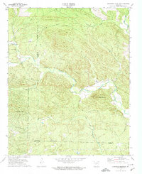
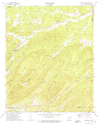 1972 Fountain Lake1974 Print · USGSGarland County and the surrounding hills were witnessing the early growth of Hot Springs Village and Fountain Lake in the early 1970s. Researchers can trace historic cemeteries and churches such as McClendon Cem, Rockdale Ch, and the Missouri Pacific rail line.3 unique versions available
 - 1985 Map of Little Rock, 1988 Print
 1985 Little Rock1988 Print · USGSLittle Rock and its surrounding river valley are shown in the mid-eighties as the region balanced urban expansion with its industrial and military roots. Genealogists and historians can locate dozens of institutions and family landmarks, including Mount Holly Cem, the Bauxite Mines, and Central High Sch.
 - 2011 Map of Fountain Lake, 2011 Print
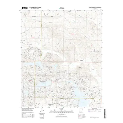
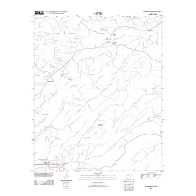 2011 Fountain Lake2011 Print · USGSCovers Fountain Lake, including Hot Springs, Morning Star, and other nearby areas
 - 2011 Map of Goosepond Mountain, 2011 Print
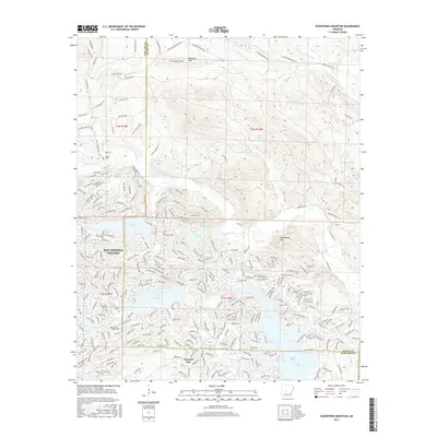
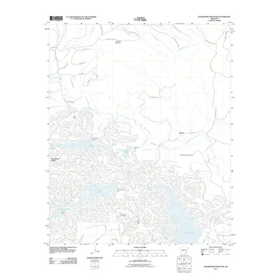 2011 Goosepond Mountain2011 Print · USGSCovers Fountain Lake, including Hot Springs Village, Blocher, and other nearby areas
 - 2014 Map of Goosepond Mountain, 2014 Print
 2014 Goosepond Mountain2014 Print · USGSCovers Fountain Lake, including Hot Springs Village, Blocher, and other nearby areas
 - 2014 Map of Fountain Lake, 2014 Print
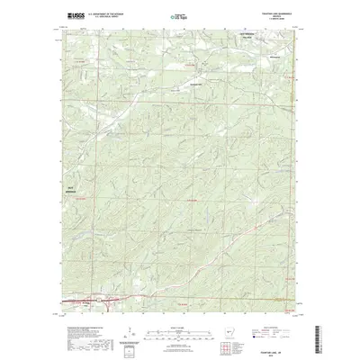
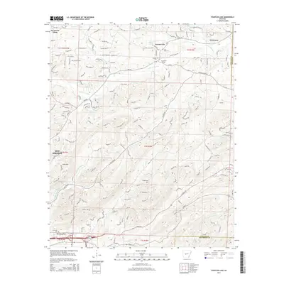 2014 Fountain Lake2014 Print · USGSCovers Fountain Lake, including Hot Springs, Morning Star, and other nearby areas
 - 2017 Map of Goosepond Mountain, 2017 Print
 2017 Goosepond Mountain2017 Print · USGSCovers Fountain Lake, including Hot Springs Village, Blocher, and other nearby areas
 - 2017 Map of Fountain Lake, 2017 Print
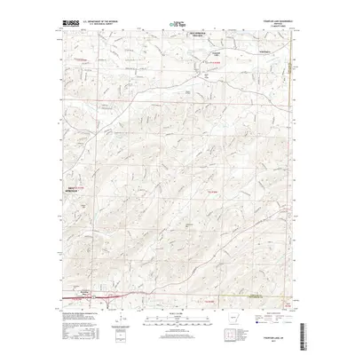 2017 Fountain Lake2017 Print · USGSCovers Fountain Lake, including Hot Springs, Morning Star, and other nearby areas
 - 2020 Map of Fountain Lake, 2020 Print
 2020 Fountain Lake2020 Print · USGSCovers Fountain Lake, including Hot Springs, Morning Star, and other nearby areas
 - 2020 Map of Goosepond Mountain, 2020 Print
 2020 Goosepond Mountain2020 Print · USGSCovers Fountain Lake, including Hot Springs Village, Blocher, and other nearby areas
 - 2023 Map of Fountain Lake, 2023 Print
 2023 Fountain Lake2023 Print · USGSCovers Fountain Lake, including Hot Springs, Morning Star, and other nearby areas
 - 2024 Map of Fountain Lake, 2024 Print
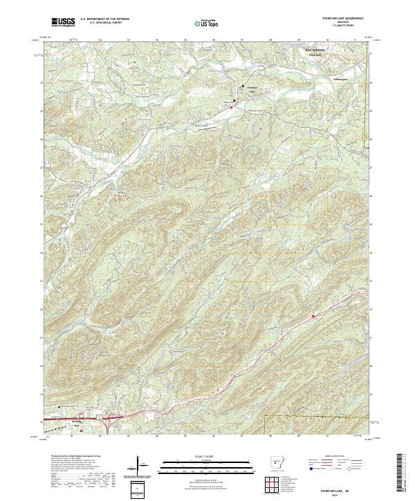 2024 Fountain Lake2024 Print · USGSThe Garland County hills come into focus in this contemporary survey of the terrain surrounding Fountain Lake and its neighboring ridges. Genealogists and historians can trace local roots at Medlock Cem and McClendon Cem or locate old sites near Whittington.
 - 2024 Map of Goosepond Mountain, 2024 Print
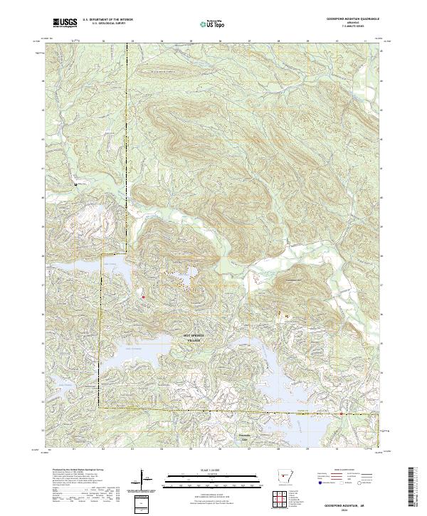 2024 Goosepond Mountain2024 Print · USGSHot Springs Village and the surrounding Ouachita foothills are captured here in the mid-2020s. Researchers can trace family sites like Talley Cem or follow the development of planned waters at Lake Coronado and Lake Cortez.
End of results
Showing maps 1-20 of 20
Top cities near Fountain Lake
- Hot Springs historical maps
- Hot Springs Village historical maps
- Malvern historical maps
- Rockport historical maps
- Traskwood historical maps
- Magnet Cove historical maps
See more
Top neighborhoods of Fountain Lake
Frequently asked questions
- What are the different types of historical maps available for Fountain Lake?
- What is the oldest map of Fountain Lake?
- Where can I purchase historical maps of Fountain Lake for my home or office?
- Where can I download high-res historical maps of Fountain Lake?
- Are there historical topographic maps available for Fountain Lake?
- Is there historical aerial imagery available for Fountain Lake?
- Where are historical maps of Fountain Lake sourced from?