Old Maps of Malvern, Arkansas for Metal Detecting
Plan your next treasure hunt with 21 historic maps of Malvern. Find old homesites, ghost towns, trails, and gathering spots that may be lost to time — perfect for identifying promising metal detecting locations.
- Locate forgotten sites: Uncover places like long-lost settlements, abandoned rail lines, or gathering spots.
- Plan better hunts: Use map overlays combined with LiDAR or satellite views to narrow in on historically rich areas.
- Made for detectorists: Thousands of hobbyists use these maps to discover relics, coins, and hidden history.
Use these historic maps to boost your research and find new opportunities beneath the surface of Malvern.
Malvern, AR maps
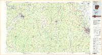
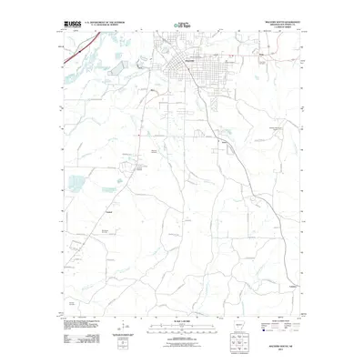
(21)- 1948 Map of Malvern, 1957 Print
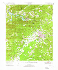 1948 Malvern1957 Print · USGSHot Spring County and the Ouachita River valley are captured here just after the war, showing the industrial growth and rural character of the region. Researchers can trace the development of Malvern and find vanished landmarks like Antioch Sch, Jones Mills, and the Rockport Cem.3 unique versions available
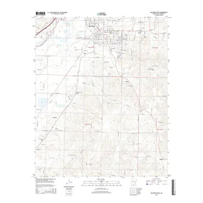
 - 1949 Map of Malvern
 1949 Malvern1949 Print · USGSMalvern and the Ouachita River valley are shown here in the late 1940s, as industrial sites and new reservoirs began to reshape the Hot Spring County landscape. Genealogists and local historians can locate many rural landmarks, including Potash Sulphur Springs, Taylor Chapel, and the Price Cem.
 - 1955 Map of Little Rock, 1978 Print
 1955 Little Rock1978 Print · USGSCentral Arkansas in the mid-fifties exhibits a landscape of growing cities, massive military installations, and mountain reservoirs. Genealogists and historians can trace the industrial Bauxite Mines, regional rail lines, and local landmarks like Antioch Church.
 - 1956 Map of Little Rock
 1956 Little Rock1956 Print · USGSCentral Arkansas in the mid-fifties shows a landscape defined by burgeoning military bases and the timber-and-mineral wealth of the Ouachitas. Genealogists and researchers can trace old rail lines like the Missouri Pacific and find established communities such as Bauxite, Sheridan, and Mabelvale.
 - 1960 Map of Little Rock
 1960 Little Rock1960 Print · USGSCentral Arkansas in the late fifties shows a landscape of growing military bases and massive new reservoirs. Local historians can trace the mid-century expansion of Little Rock and Hot Springs alongside the industrial works at Bauxite and the Pine Bluff Arsenal.
 - 1964 Map of Little Rock
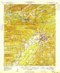
 1964 Little Rock1964 Print · USGSCentral Arkansas in the mid-sixties is a landscape of mountain ridges, industrial rail lines, and growing military hubs. Researchers can trace the development of Bauxite and Hot Springs or locate rural landmarks like Sparkman and the Pine Bluff Arsenal.
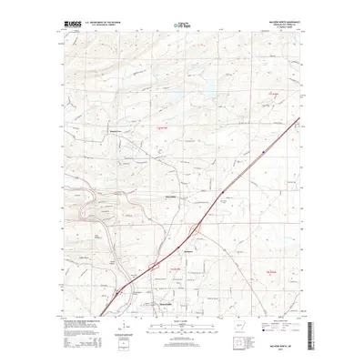
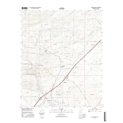
 - 1978 Map of Malvern North, 1979 Print
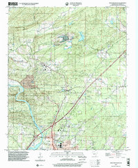
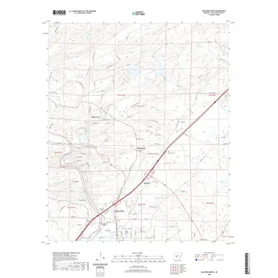
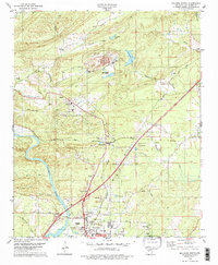 1978 Malvern North1979 Print · USGSHot Spring County in the late seventies is marked by a heavy industrial landscape surrounding Malvern and Rockport along the Quachita River. Researchers can trace old family landmarks and community sites like Gibson Cem, Magnet Cove Ch, and the historic route of the Old Military Road.2 unique versions available
 - 1978 Map of Malvern South, 1979 Print
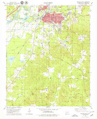 1978 Malvern South1979 Print · USGSMalvern and the surrounding Hot Spring County terrain are shown here in the late seventies during a period of industrial mineral extraction. Genealogists and local historians can trace family roots through numerous sites like Oak Ridge Cemetery, Gilead Church, and the rural settlement at Perla.
 - 1985 Map of Malvern
 1985 Malvern1985 Print · USGSCentral Arkansas in the mid-eighties shows a landscape of timberlands and river valleys anchored by the industrial hubs of Malvern and Pine Bluff. Genealogists can locate family landmarks and rural institutions like Social Hill Sch, Magnet Cove, and Pine Bluff Arsenal.2 unique versions available
 - 2000 Map of Malvern North, 2002 Print
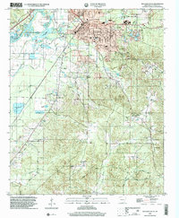
 2000 Malvern North2002 Print · USGSNorth of Malvern at the turn of the twenty-first century, this area shows a landscape of river-valley settlements and active industrial mining. Genealogists and historians can trace family locations near Rockport, Magnet Cove, and the historic Rockport Cemetery.
 - 2000 Map of Malvern South, 2002 Print
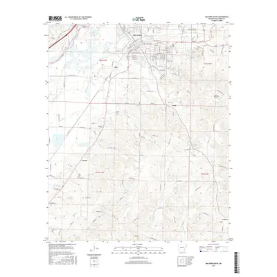
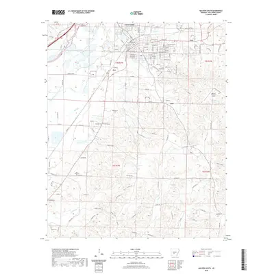
 2000 Malvern South2002 Print · USGSThe Hot Spring County seat at Malvern and its southern rural outskirts are captured here as they appeared at the turn of the millennium. Researchers can trace family history through local landmarks like Oak Ridge Cem, Taylor Chapel, and the community at Perla.
 - 2011 Map of Malvern North, 2011 Print
 2011 Malvern North2011 Print · USGSCovers Malvern, including Rockport, Magnet Cove, and other nearby areas
 - 2011 Map of Malvern South, 2011 Print
 2011 Malvern South2011 Print · USGSCovers Malvern, including Perla, Harp, and other nearby areas
 - 2014 Map of Malvern South, 2014 Print
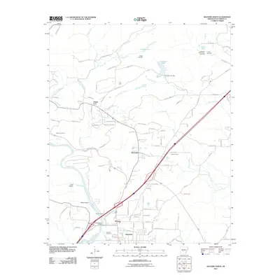
 2014 Malvern South2014 Print · USGSCovers Malvern, including Perla, Harp, and other nearby areas
 - 2014 Map of Malvern North, 2014 Print
 2014 Malvern North2014 Print · USGSCovers Malvern, including Rockport, Magnet Cove, and other nearby areas
 - 2017 Map of Malvern North, 2017 Print
 2017 Malvern North2017 Print · USGSCovers Malvern, including Rockport, Magnet Cove, and other nearby areas
 - 2017 Map of Malvern South, 2017 Print
 2017 Malvern South2017 Print · USGSCovers Malvern, including Perla, Harp, and other nearby areas
 - 2020 Map of Malvern South, 2020 Print
 2020 Malvern South2020 Print · USGSCovers Malvern, including Perla, Harp, and other nearby areas
 - 2020 Map of Malvern North, 2020 Print
 2020 Malvern North2020 Print · USGSCovers Malvern, including Rockport, Magnet Cove, and other nearby areas
 - 2024 Map of Malvern North, 2024 Print
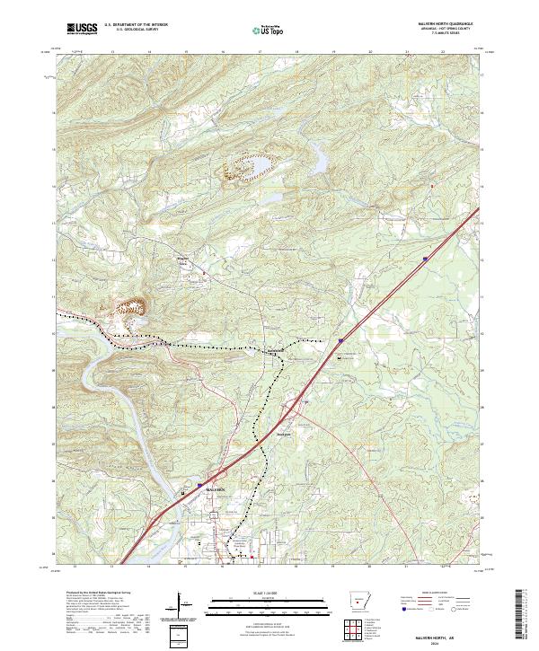 2024 Malvern North2024 Print · USGSHot Spring County comes into focus in this contemporary survey of the Malvern area and the winding Ouachita River. Genealogists and local historians can pinpoint family burial sites at Rockport Cem or Cooper Cem and trace the development around Magnet Cove.
 - 2024 Map of Malvern South, 2024 Print
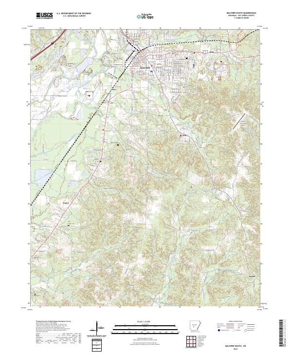 2024 Malvern South2024 Print · USGSHot Spring County comes into focus in this modern survey of the area south of the county seat. Researchers can trace land ownership and family history through numerous local cemeteries like Oak Ridge Cem and Ebenezer Cem, or follow the Union Pacific rail lines.
End of results
Showing maps 1-21 of 21
Top cities near Malvern
- Hot Springs historical maps
- Benton historical maps
- Arkadelphia historical maps
- Haskell historical maps
- Rockport historical maps
- Caddo Valley historical maps
See more
Frequently asked questions
- What are the different types of historical maps available for Malvern?
- What is the oldest map of Malvern?
- Where can I purchase historical maps of Malvern for my home or office?
- Where can I download high-res historical maps of Malvern?
- Are there historical topographic maps available for Malvern?
- Is there historical aerial imagery available for Malvern?
- Where are historical maps of Malvern sourced from?