
1948 Map of Malvern
USGS Topo · Published 1957About this map
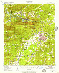
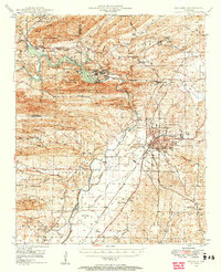
The Ouachita River defines the landscape of this Hot Spring County region, captured shortly after the post-war expansion. The river is harnessed at the Remmel Dam, forming the expansive Lake Catherine which serves as the centerpiece for Lake Catherine State Park. The industrial and transportation patterns of the late 1940s are evident in the dense rail networks of the Chicago Rock Island and Pacific and Missouri Pacific railroads, which converge at the regional hub of Malvern.
Find a feature on this map
67 named features on this map. Tap any name to fly to it.
Don’t see what you’re looking for? This feature index may not catch every label — zoom into the map to look around manually.
Map Details
Editions of this 1948 Malvern Map
3 editions found
Other maps of this area

1890 · Benton
USGS Topo · 1:125,000

1890 · Hot Springs
USGS Topo · 1:125,000

1894 · Hot Springs
USGS Topo · 1:125,000

1894 · Benton
USGS Topo · 1:125,000

1938 · Benton
USGS Topo · 1:48,000

1944 · Benton
USGS Topo · 1:62,500

1949 · Malvern
USGS Topo · 1:62,500

1955 · Little Rock
USGS Topo · 1:250,000

1956 · Little Rock
USGS Topo · 1:250,000

1959 · Caddo Valley
USGS Topo · 1:24,000