
1959 Map of Caddo Valley
USGS Topo · Published 1960About this map
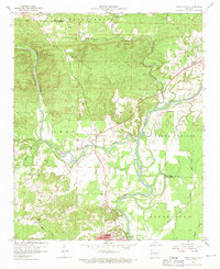
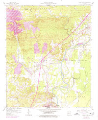
The Caddo River and Ouachita River converge just north of Arkadelphia, defining the geography of this central Arkansas landscape in the late 1950s. The city serves as an educational hub, anchoring the southern portion of the map with the campuses of Henderson State Teachers College and Ouachita College. The convergence of these significant waterways creates a complex network of meanders and bayous, including Bayou de Roche and Saline Bayou, which likely influenced the historical placement of roads and river-dependent industries.
Find a feature on this map
30 named features on this map. Tap any name to fly to it.
Don’t see what you’re looking for? This feature index may not catch every label — zoom into the map to look around manually.
Map Details
Editions of this 1959 Caddo Valley Map
3 editions found
Other maps of this area

1948 · Malvern
USGS Topo · 1:62,500

1949 · Malvern
USGS Topo · 1:62,500

1955 · Little Rock
USGS Topo · 1:250,000

1956 · Little Rock
USGS Topo · 1:250,000

1959 · Arkadelphia
USGS Topo · 1:24,000

1960 · Little Rock
USGS Topo · 1:250,000

1964 · Little Rock
USGS Topo · 1:250,000

1964 · Donaldson
USGS Topo · 1:24,000
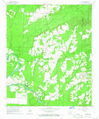
1965 · Dalark
USGS Topo · 1:24,000

1966 · De Roche
USGS Topo · 1:24,000