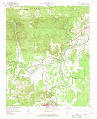
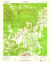
1959 Map of Caddo Valley
USGS Topo · Published 1971About this map
The Quachita River and Caddo River converge just north of Arkadelphia, defining the geography of this central Arkansas landscape in the late 1950s. The city of Arkadelphia serves as a significant educational and cultural hub, featuring the campuses of Henderson State Teachers College and Ouachita College. Transportation is characterized by the Missouri Pacific railroad corridor and the emerging presence of Interstate 30, which passes through Caddo Valley. Local history is preserved in several rural burial grounds such as Davis Cem, Arkadelphia Cem, and Edwards Cem, alongside community landmarks like Cedar Grove Ch and Unity Ch. The riverside economy is visible through numerous Gravel Pits concentrated along the river bends, while the town's social life of the era is marked by the Drive-in Theater and the local Country Club.
Find a feature on this map
41 named features on this map. Tap any name to fly to it.
Don’t see what you’re looking for? This feature index may not catch every label — zoom into the map to look around manually.
Map Details
Editions of this 1959 Caddo Valley Map
3 editions found
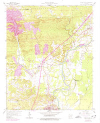
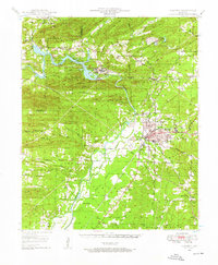
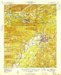
Other maps of this area
1948 · Malvern
USGS Topo · 1:62,500
1949 · Malvern
USGS Topo · 1:62,500

1955 · Little Rock
USGS Topo · 1:250,000

1956 · Little Rock
USGS Topo · 1:250,000
1959 · Caddo Valley
USGS Topo · 1:24,000
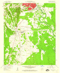
1959 · Arkadelphia
USGS Topo · 1:24,000

1960 · Little Rock
USGS Topo · 1:250,000

1964 · Little Rock
USGS Topo · 1:250,000
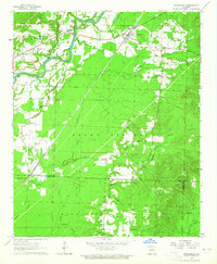
1964 · Donaldson
USGS Topo · 1:24,000
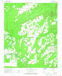
1965 · Dalark
USGS Topo · 1:24,000