Old Maps of Collietown, Arkansas for Hiking & Exploration
Hike through history with 12 historic maps of Collietown. Explore old trails, ghost towns, and forgotten backroads — perfect for outdoor adventurers and local explorers.
- Rediscover forgotten places: Map out old mining camps, roads, and footpaths that no longer exist on modern maps.
- Layer with modern tools: Combine with LiDAR or satellite views to plan hikes through historical terrain.
- Made for exploration: Popular among hikers, overlanders, and local history lovers.
Use these maps to find adventure and explore the hidden past of Collietown.
Collietown, AR maps
(12)- 1890 Map of Batesville
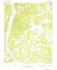
 1890 Batesville1890 Print · USGSIndependence and Sharp counties relied on a intricate network of river ferries and rural outposts in the 1890s. Researchers can trace ancestral locations like Old Clem Place, historic church sites like Bethesda Ch, and river crossings at Walls Fy.
 - 1891 Map of Batesville
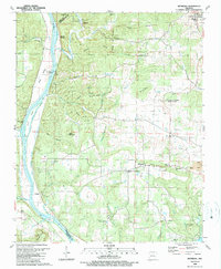
 1891 Batesville1891 Print · USGSNorthern Arkansas in the late nineteenth century centers on the White River corridor. Genealogists can trace family landmarks like Old Clem Place and early river crossings such as Grigsby Fy or the rail lines through Sulphur Rock.6 unique versions available
 - 1942 Map of Bethesda
 1942 Bethesda1942 Print · USGSIndependence County during the early 1940s reveals a landscape of ridge-top farms and river-bottom commerce. Genealogists can trace family roots through local landmarks like Gill Cem, O'Neal Sch, and the riverside crossing at Walls Ferry.4 unique versions available
 - 1953 Map of Memphis, 1966 Print
 1953 Memphis1966 Print · USGSEastern Arkansas and the Memphis riverfront are shown here during the mid-century period of regional growth and river management. Local historians can trace the paths of the Chicago Rock Island & Pacific RR through Forrest City or locate river landmarks like President's Island.3 unique versions available
 - 1956 Map of Memphis
 1956 Memphis1956 Print · USGSThe Mississippi Delta and the bluffs of West Tennessee meet in the mid-fifties, showing a landscape defined by massive river systems and rail hubs. Researchers can trace the path of Crowleys Ridge or locate vanished river landings near Centennial Island and Island No 35.
 - 1986 Map of Batesville
 1986 Batesville1986 Print · USGSNorth-central Arkansas in the mid-eighties shows a landscape of river-bend towns and Ozark foothills during a period of steady growth. You can trace family roots through numerous upland sites like Hickory Valley School, Sandtown Hill Cem, and the riverfront at Oil Trough.2 unique versions available
 - 1989 Map of Bethesda
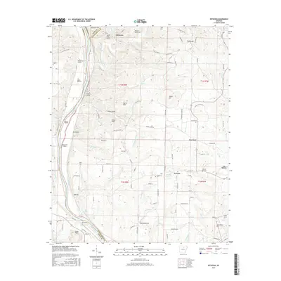
 1989 Bethesda1989 Print · USGSIn the late 1980s, the rural hills of Independence County remained a landscape of tight-knit communities and river-fed industry. Researchers can trace the roots of local families at Bethesda, locate historical congregations like Chinquapin Ch, and find the river-side Biltmore Siding.
 - 2011 Map of Bethesda, 2011 Print
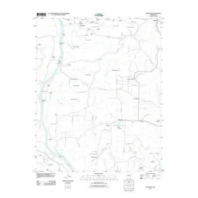 2011 Bethesda2011 Print · USGSCovers Collietown, including Cushman, Harmontown, and other nearby areas
 - 2014 Map of Bethesda, 2014 Print
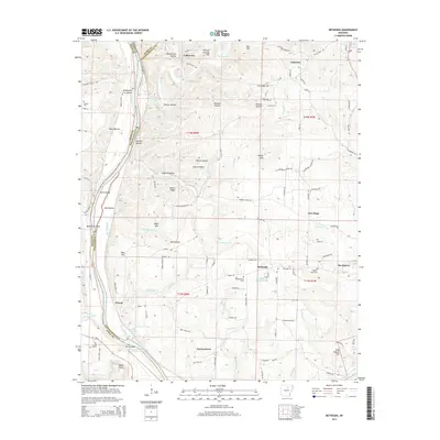 2014 Bethesda2014 Print · USGSCovers Collietown, including Cushman, Harmontown, and other nearby areas
 - 2017 Map of Bethesda, 2017 Print
 2017 Bethesda2017 Print · USGSCovers Collietown, including Cushman, Harmontown, and other nearby areas
 - 2020 Map of Bethesda, 2020 Print
 2020 Bethesda2020 Print · USGSCovers Collietown, including Cushman, Harmontown, and other nearby areas
 - 2024 Map of Bethesda, 2024 Print
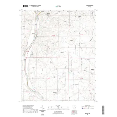
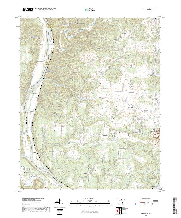 2024 Bethesda2024 Print · USGSSettlements and river crossings along the White River define this portion of the Ozark foothills. Genealogists can locate family landmarks like Grigsby Ferry, Earnhearts Ferry, and the Campground Cem.
End of results
Showing maps 1-12 of 12
Top cities near Collietown
- Batesville historical maps
- Southside historical maps
- Melbourne historical maps
- Cushman historical maps
- Evening Shade historical maps
- Mount Pleasant historical maps
See more
Frequently asked questions
- What are the different types of historical maps available for Collietown?
- What is the oldest map of Collietown?
- Where can I purchase historical maps of Collietown for my home or office?
- Where can I download high-res historical maps of Collietown?
- Are there historical topographic maps available for Collietown?
- Is there historical aerial imagery available for Collietown?
- Where are historical maps of Collietown sourced from?