2000s (21st Century) Maps of Pleasant Plains, Arkansas
Explore 10 historic maps of Pleasant Plains from the 2000s (21st Century). These maps offer a rare glimpse into what life looked like during the 2000s — showing old roads, neighborhoods, homes, and landmarks that have changed or disappeared over time.
Whether you're researching your family's past, planning a metal detecting trip, or studying how Pleasant Plains's landscape evolved across the 2000s, these high-resolution maps are a powerful tool for exploring the history of this region.
- Focus on a specific era: All maps on this page are from the 2000s, giving you a focused view of this time period.
- See what’s changed: Compare century-old streets, trails, and buildings to today's modern landscape using overlays and satellite layers.
- Research with precision: Use these maps for genealogy, historical research, land use analysis, or educational projects.
- View, download, or print: Maps are fully viewable online in high resolution, and can be downloaded or printed for your own records.
Start exploring Pleasant Plains's history through authentic maps from the 2000s. This is your window into the past.
Pleasant Plains, AR maps
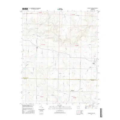
(10)- 2011 Map of Pleasant Plains, 2011 Print
 2011 Pleasant Plains2011 Print · USGSCovers Pleasant Plains, including Roosevelt, Wrenton, and other nearby areas
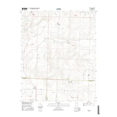
 - 2011 Map of Huff, 2011 Print
 2011 Huff2011 Print · USGSCovers Pleasant Plains, including Midway, Huff, and other nearby areas
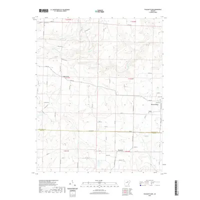
 - 2014 Map of Huff, 2014 Print
 2014 Huff2014 Print · USGSCovers Pleasant Plains, including Midway, Huff, and other nearby areas
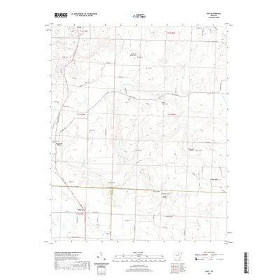
 - 2014 Map of Pleasant Plains, 2014 Print
 2014 Pleasant Plains2014 Print · USGSCovers Pleasant Plains, including Roosevelt, Wrenton, and other nearby areas
 - 2017 Map of Pleasant Plains, 2017 Print
 2017 Pleasant Plains2017 Print · USGSCovers Pleasant Plains, including Roosevelt, Wrenton, and other nearby areas
 - 2017 Map of Huff, 2017 Print
 2017 Huff2017 Print · USGSCovers Pleasant Plains, including Midway, Huff, and other nearby areas
 - 2020 Map of Pleasant Plains, 2020 Print
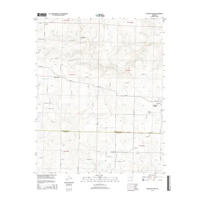
 2020 Pleasant Plains2020 Print · USGSCovers Pleasant Plains, including Roosevelt, Wrenton, and other nearby areas
 - 2020 Map of Huff, 2020 Print
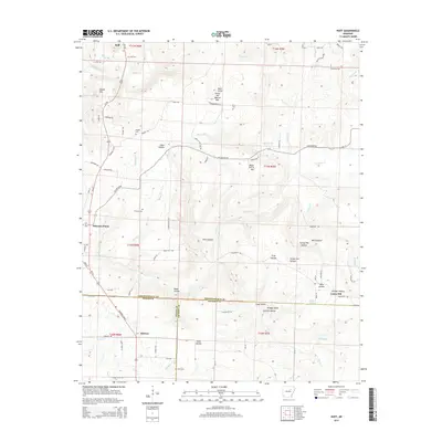
 2020 Huff2020 Print · USGSCovers Pleasant Plains, including Midway, Huff, and other nearby areas
 - 2024 Map of Huff, 2024 Print
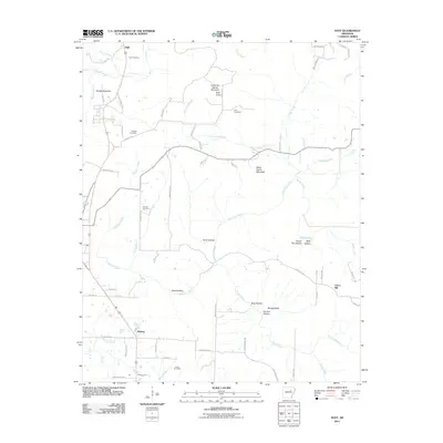
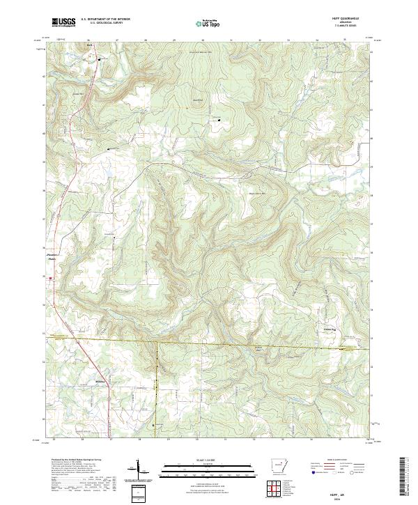 2024 Huff2024 Print · USGSNorth Central Arkansas in the early twenty-first century reveals a landscape of upland ridges and scattered rural settlements. Genealogists and local historians can trace legacy burial sites like Putman Cem and Riddles Cem or landmarks such as Wildcat Bluff.
 - 2024 Map of Pleasant Plains, 2024 Print
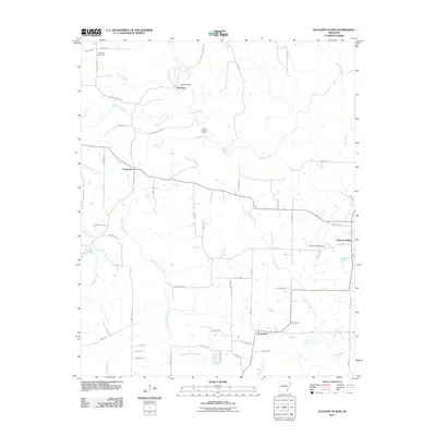
 2024 Pleasant Plains2024 Print · USGSPleasant Plains and the Independence-White county line are shown in detail during the early 2020s. Researchers can locate family landmarks like Old Union Cem and Union Grove Cem or trace the winding courses of Salado Creek and Tenmile Creek.
End of results
Showing maps 1-10 of 10
Top cities near Pleasant Plains
- Batesville historical maps
- Southside historical maps
- Bald Knob historical maps
- Newark historical maps
- Bradford historical maps
- Pangburn historical maps
See more
Frequently asked questions
- What are the different types of historical maps available for Pleasant Plains?
- What is the oldest map of Pleasant Plains?
- Where can I purchase historical maps of Pleasant Plains for my home or office?
- Where can I download high-res historical maps of Pleasant Plains?
- Are there historical topographic maps available for Pleasant Plains?
- Is there historical aerial imagery available for Pleasant Plains?
- Where are historical maps of Pleasant Plains sourced from?