Old Maps of Melbourne, Arkansas for Genealogy
Trace your family roots with 18 historic maps of Melbourne. These high-res maps reveal old neighborhoods, homesites, landmarks, and streets — helping you uncover where your ancestors lived and how the area evolved over time.
- Explore historic neighborhoods: Identify where your relatives may have lived in the 1800s or 1900s.
- Compare maps over time: Trace the changes in streets, buildings, and landmarks for multi-generational research.
- Perfect for genealogy & ancestry research: Used by family historians and researchers to map out lineage and migration.
These maps are an incredible resource for exploring your personal connection to Melbourne's past.
Melbourne, AR maps
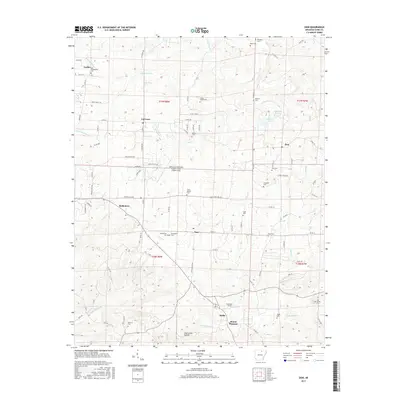
(18)- 1951 Map of Melbourne, 1952 Print
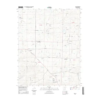
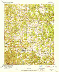 1951 Melbourne1952 Print · USGSIzard County in the early fifties is captured here as a landscape of interconnected ridge-top farms and creek-bottom hamlets. Researchers can trace ancestral roots at Philadelphia Ch, find the old Oxford Lookout Tower, or locate early settlements like Lunenburg and La Crosse.2 unique versions available
 - 1957 Map of Poplar Bluff, 1968 Print
 1957 Poplar Bluff1968 Print · USGSThe Missouri-Arkansas border region is captured here as the timber and rail industries shaped the Ozark foothills. Genealogists and historians can trace the Missouri Pacific Railroad through river towns like Pocahontas, Greenville, and Van Buren.3 unique versions available
 - 1959 Map of Poplar Bluff
 1959 Poplar Bluff1959 Print · USGSThe Missouri Ozarks and Arkansas borderlands meet in this late 1950s study of the region's diverse terrain and rail-fed towns. Researchers can trace the path of the Missouri Pacific Railroad through Poplar Bluff or locate smaller settlements like Birch Tree and Myrtle.
 - 1960 Map of Poplar Bluff
 1960 Poplar Bluff1960 Print · USGSSoutheast Missouri and Northeast Arkansas are captured here during the post-war era, showing the transition from the Ozark highlands to the Delta. Genealogists and historians can trace rail corridors like the St. Louis Southwestern RR and remote settlements such as Birch Tree and Warm Springs.
 - 1976 Map of Melbourne SW, 1977 Print
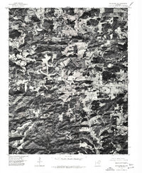 1976 Melbourne SW1977 Print · USGSThe Ozark plateau around the county seat of Izard County is captured here in the mid-seventies just as the landscape was being documented through aerial orthophotography. Trace the development of Melbourne and the surrounding woodland clearings exactly as they were recorded during this 1976 winter flight.
 - 1983 Map of Cherokee Village
 1983 Cherokee Village1983 Print · USGSThe Ozark foothills and river valleys of Northeast Arkansas are captured in the early eighties as modern planned communities began to reshape the landscape. Genealogists and historians can trace family-named ridges and schools across Evening Shade, Melbourne, and the rail junction at Hoxie.
 - 1984 Map of Zion
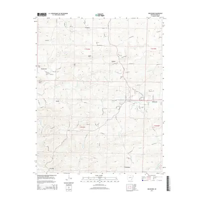
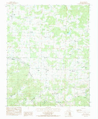 1984 Zion1984 Print · USGSIzard County in the early 1980s reveals a landscape of dispersed family settlements and country parishes connected by timbered ridges and creek valleys. Genealogists can trace local heritage through sites like Old Philadelphia Cem, Bethlehem Cem, and the rural community of Bone Town.
 - 1984 Map of Melbourne
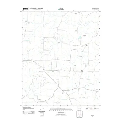
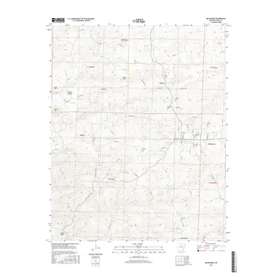
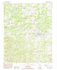 1984 Melbourne1984 Print · USGSThe Izard County seat of Melbourne is documented here in the early 1980s, surrounded by the foothills of Bald Mountain. Genealogists can trace family landmarks like Page Cem and Lawrence Cem or the small settlements of Newburg and Lunenburg.
 - 2011 Map of Zion, 2011 Print
 2011 Zion2011 Print · USGSCovers Melbourne, including Mount Pleasant, Bone Town, and other nearby areas
 - 2011 Map of Melbourne, 2011 Print
 2011 Melbourne2011 Print · USGSCovers Melbourne, including Knob Creek, Lunenburg, and other nearby areas
 - 2014 Map of Zion, 2014 Print
 2014 Zion2014 Print · USGSCovers Melbourne, including Mount Pleasant, Bone Town, and other nearby areas
 - 2014 Map of Melbourne, 2014 Print
 2014 Melbourne2014 Print · USGSCovers Melbourne, including Knob Creek, Lunenburg, and other nearby areas
 - 2017 Map of Zion, 2017 Print
 2017 Zion2017 Print · USGSCovers Melbourne, including Mount Pleasant, Bone Town, and other nearby areas
 - 2017 Map of Melbourne, 2017 Print
 2017 Melbourne2017 Print · USGSCovers Melbourne, including Knob Creek, Lunenburg, and other nearby areas
 - 2020 Map of Zion, 2020 Print
 2020 Zion2020 Print · USGSCovers Melbourne, including Mount Pleasant, Bone Town, and other nearby areas
 - 2020 Map of Melbourne, 2020 Print
 2020 Melbourne2020 Print · USGSCovers Melbourne, including Knob Creek, Lunenburg, and other nearby areas
 - 2024 Map of Zion, 2024 Print
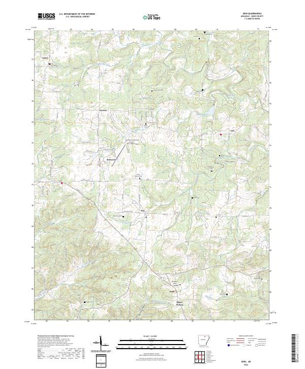 2024 Zion2024 Print · USGSIzard County's upland communities are documented in this recent survey, capturing the rural character of northern Arkansas. Researchers can pinpoint numerous family burial sites and crossroads settlements, including Old Philadelphia Cem, Larkin, and Sweet Home Cem.
 - 2024 Map of Melbourne, 2024 Print
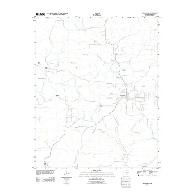
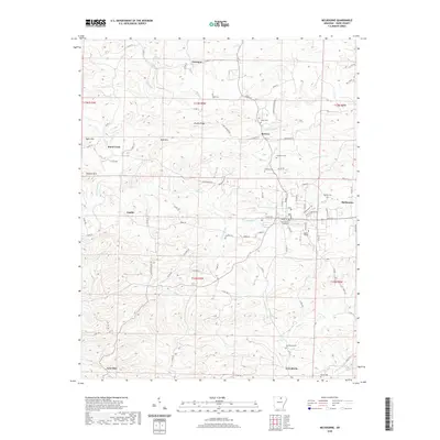
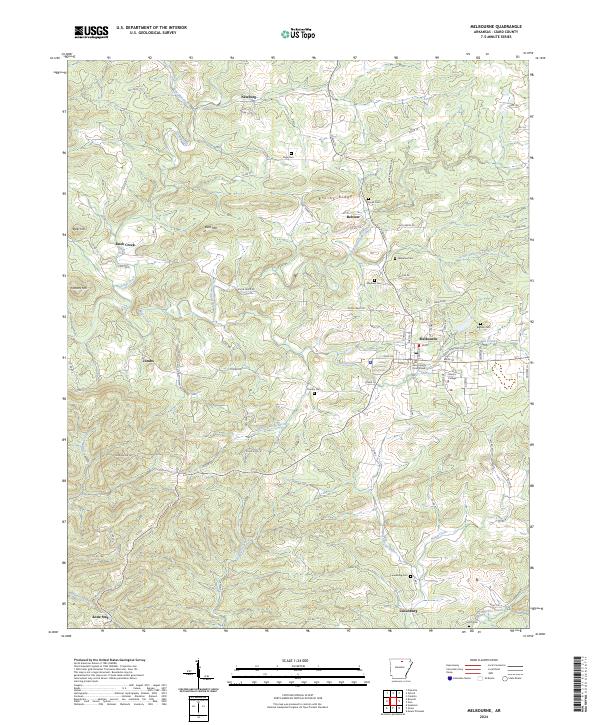 2024 Melbourne2024 Print · USGSMelbourne and its surrounding hills are captured in this modern survey of North Central Arkansas. Local historians can trace the foundations of the community through sites like the Izard County Courthouse, Ozarka College, and the rural Smith Cem.
End of results
Showing maps 1-18 of 18
Top cities near Melbourne
- Mountain View historical maps
- Horseshoe Bend historical maps
- Oxford historical maps
- Cushman historical maps
- Mount Pleasant historical maps
- Pineville historical maps
See more
Frequently asked questions
- What are the different types of historical maps available for Melbourne?
- What is the oldest map of Melbourne?
- Where can I purchase historical maps of Melbourne for my home or office?
- Where can I download high-res historical maps of Melbourne?
- Are there historical topographic maps available for Melbourne?
- Is there historical aerial imagery available for Melbourne?
- Where are historical maps of Melbourne sourced from?