Old Maps of Mount Pleasant, Arkansas for Academic Research
Study the evolution of Mount Pleasant with 30 high-resolution historic maps. Whether you're teaching, researching, or modeling changes in land use, these maps provide essential visual documentation of urban, environmental, and geographic change.
- Analyze long-term change: Track patterns in development, transportation, and natural features.
- Ideal for environmental or urban studies: Support academic projects with primary historical map data.
- Use in the classroom or lab: Educators and researchers rely on these maps to bring historical context to life.
These maps are a powerful tool for teaching, research, and visualizing how Mount Pleasant has changed over the decades.
Mount Pleasant, AR maps
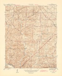
(30)- 1890 Map of Batesville
 1890 Batesville1890 Print · USGSIndependence and Sharp counties relied on a intricate network of river ferries and rural outposts in the 1890s. Researchers can trace ancestral locations like Old Clem Place, historic church sites like Bethesda Ch, and river crossings at Walls Fy.
 - 1891 Map of Batesville
 1891 Batesville1891 Print · USGSNorthern Arkansas in the late nineteenth century centers on the White River corridor. Genealogists can trace family landmarks like Old Clem Place and early river crossings such as Grigsby Fy or the rail lines through Sulphur Rock.6 unique versions available
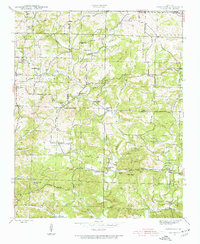
 - 1942 Map of Mt Pleasant, 1945 Print
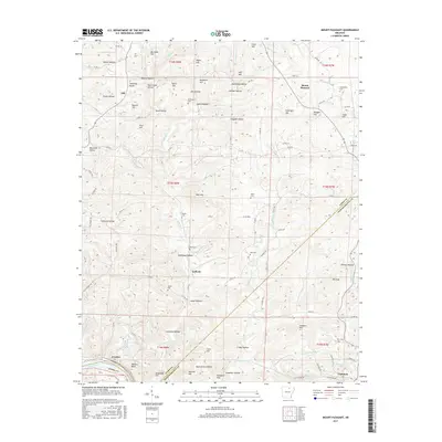
 1942 Mt Pleasant1945 Print · USGSIzard County in the 1940s was a landscape of deep hollows and active mining operations near the Independence County line. Genealogists and historians can trace rural family legacies through local landmarks like Gid Sch, Mt Lebanon Ch, and the Barren Fork Cem.5 unique versions available
 - 1943 Map of Sandtown
 1943 Sandtown1943 Print · USGSThe rural uplands of Independence and Sharp Counties come into focus during the early 1940s, revealing a landscape of remote mines and creek-side settlements. Researchers can trace historic family-named landmarks such as Polk Southard Mines, Martins Store, and Wolf Sch.4 unique versions available
 - 1951 Map of Melbourne, 1952 Print
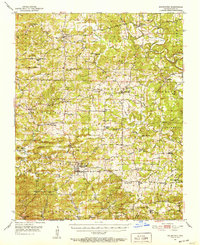 1951 Melbourne1952 Print · USGSIzard County in the early fifties is captured here as a landscape of interconnected ridge-top farms and creek-bottom hamlets. Researchers can trace ancestral roots at Philadelphia Ch, find the old Oxford Lookout Tower, or locate early settlements like Lunenburg and La Crosse.2 unique versions available
 - 1953 Map of Memphis, 1966 Print
 1953 Memphis1966 Print · USGSEastern Arkansas and the Memphis riverfront are shown here during the mid-century period of regional growth and river management. Local historians can trace the paths of the Chicago Rock Island & Pacific RR through Forrest City or locate river landmarks like President's Island.3 unique versions available
 - 1956 Map of Memphis
 1956 Memphis1956 Print · USGSThe Mississippi Delta and the bluffs of West Tennessee meet in the mid-fifties, showing a landscape defined by massive river systems and rail hubs. Researchers can trace the path of Crowleys Ridge or locate vanished river landings near Centennial Island and Island No 35.
 - 1957 Map of Poplar Bluff, 1968 Print
 1957 Poplar Bluff1968 Print · USGSThe Missouri-Arkansas border region is captured here as the timber and rail industries shaped the Ozark foothills. Genealogists and historians can trace the Missouri Pacific Railroad through river towns like Pocahontas, Greenville, and Van Buren.3 unique versions available
 - 1959 Map of Poplar Bluff
 1959 Poplar Bluff1959 Print · USGSThe Missouri Ozarks and Arkansas borderlands meet in this late 1950s study of the region's diverse terrain and rail-fed towns. Researchers can trace the path of the Missouri Pacific Railroad through Poplar Bluff or locate smaller settlements like Birch Tree and Myrtle.
 - 1960 Map of Poplar Bluff
 1960 Poplar Bluff1960 Print · USGSSoutheast Missouri and Northeast Arkansas are captured here during the post-war era, showing the transition from the Ozark highlands to the Delta. Genealogists and historians can trace rail corridors like the St. Louis Southwestern RR and remote settlements such as Birch Tree and Warm Springs.
 - 1983 Map of Cherokee Village
 1983 Cherokee Village1983 Print · USGSThe Ozark foothills and river valleys of Northeast Arkansas are captured in the early eighties as modern planned communities began to reshape the landscape. Genealogists and historians can trace family-named ridges and schools across Evening Shade, Melbourne, and the rail junction at Hoxie.
 - 1984 Map of Zion
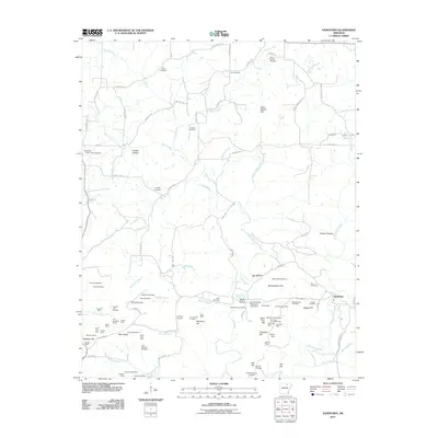
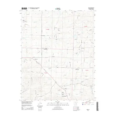
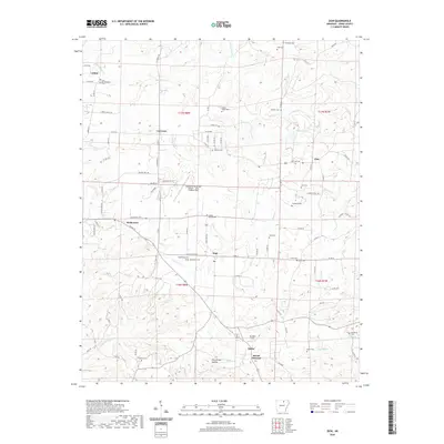
 1984 Zion1984 Print · USGSIzard County in the early 1980s reveals a landscape of dispersed family settlements and country parishes connected by timbered ridges and creek valleys. Genealogists can trace local heritage through sites like Old Philadelphia Cem, Bethlehem Cem, and the rural community of Bone Town.
 - 1986 Map of Batesville
 1986 Batesville1986 Print · USGSNorth-central Arkansas in the mid-eighties shows a landscape of river-bend towns and Ozark foothills during a period of steady growth. You can trace family roots through numerous upland sites like Hickory Valley School, Sandtown Hill Cem, and the riverfront at Oil Trough.2 unique versions available
 - 1989 Map of Mount Pleasant
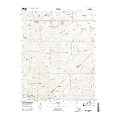
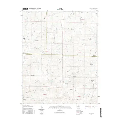
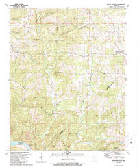 1989 Mount Pleasant1989 Print · USGSThe hill country of Izard and Independence counties comes into focus in the late eighties, documenting the rural settlements and caves north of the White River. Genealogists can locate several remote burial grounds like No Bottom Cem and Winkle Cem, alongside community landmarks such as Macedonia Ch.
 - 1989 Map of Sandtown, 1990 Print
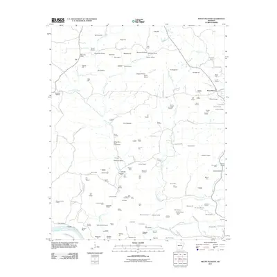
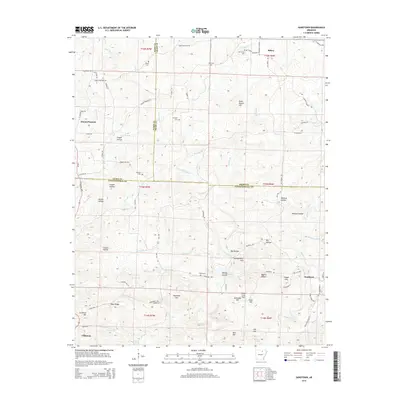
 1989 Sandtown1990 Print · USGSThe hill country of North-Central Arkansas is captured here in the late 1980s, where three counties meet among deep hollows and creek branches. Genealogists and local historians can trace family roots through numerous remote sites like Mt Carmel Cem, St Pauls Ch, and the settlement of Sandtown.
 - 2011 Map of Zion, 2011 Print
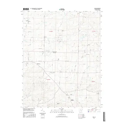
 2011 Zion2011 Print · USGSCovers Mount Pleasant, including Melbourne, Bone Town, and other nearby areas
 - 2011 Map of Mount Pleasant, 2011 Print
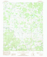
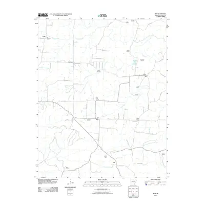
 2011 Mount Pleasant2011 Print · USGSCovers Mount Pleasant, including Cushman, Gid, and other nearby areas
 - 2011 Map of Sandtown, 2011 Print
 2011 Sandtown2011 Print · USGSCovers Mount Pleasant, including Cushman, Sidney, and other nearby areas
 - 2014 Map of Mount Pleasant, 2014 Print
 2014 Mount Pleasant2014 Print · USGSCovers Mount Pleasant, including Cushman, Gid, and other nearby areas
 - 2014 Map of Sandtown, 2014 Print
 2014 Sandtown2014 Print · USGSCovers Mount Pleasant, including Cushman, Sidney, and other nearby areas
 - 2014 Map of Zion, 2014 Print
 2014 Zion2014 Print · USGSCovers Mount Pleasant, including Melbourne, Bone Town, and other nearby areas
 - 2017 Map of Zion, 2017 Print
 2017 Zion2017 Print · USGSCovers Mount Pleasant, including Melbourne, Bone Town, and other nearby areas
 - 2017 Map of Sandtown, 2017 Print
 2017 Sandtown2017 Print · USGSCovers Mount Pleasant, including Cushman, Sidney, and other nearby areas
 - 2017 Map of Mount Pleasant, 2017 Print
 2017 Mount Pleasant2017 Print · USGSCovers Mount Pleasant, including Cushman, Gid, and other nearby areas
 - 2020 Map of Zion, 2020 Print
 2020 Zion2020 Print · USGSCovers Mount Pleasant, including Melbourne, Bone Town, and other nearby areas
Showing maps 1-25 of 30
Top cities near Mount Pleasant
- Batesville historical maps
- Horseshoe Bend historical maps
- Cave City historical maps
- Melbourne historical maps
- Ash Flat historical maps
- Oxford historical maps
See more
Top neighborhoods of Mount Pleasant
Frequently asked questions
- What are the different types of historical maps available for Mount Pleasant?
- What is the oldest map of Mount Pleasant?
- Where can I purchase historical maps of Mount Pleasant for my home or office?
- Where can I download high-res historical maps of Mount Pleasant?
- Are there historical topographic maps available for Mount Pleasant?
- Is there historical aerial imagery available for Mount Pleasant?
- Where are historical maps of Mount Pleasant sourced from?