Old Maps of Auvergne, Arkansas for Hiking & Exploration
Hike through history with 11 historic maps of Auvergne. Explore old trails, ghost towns, and forgotten backroads — perfect for outdoor adventurers and local explorers.
- Rediscover forgotten places: Map out old mining camps, roads, and footpaths that no longer exist on modern maps.
- Layer with modern tools: Combine with LiDAR or satellite views to plan hikes through historical terrain.
- Made for exploration: Popular among hikers, overlanders, and local history lovers.
Use these maps to find adventure and explore the hidden past of Auvergne.
Auvergne, AR maps
(11)- 1935 Map of Tuckerman, 1946 Print
 1935 Tuckerman1946 Print · USGSNortheast Arkansas in the mid-thirties was a landscape shaped by the Cache River and a dense network of drainage ditches. Family historians can trace rural roots through numerous combined sites like Antioch Ch & Cem and Green Haw Sch & Cem.2 unique versions available
 - 1953 Map of Memphis, 1966 Print
 1953 Memphis1966 Print · USGSEastern Arkansas and the Memphis riverfront are shown here during the mid-century period of regional growth and river management. Local historians can trace the paths of the Chicago Rock Island & Pacific RR through Forrest City or locate river landmarks like President's Island.3 unique versions available
 - 1956 Map of Memphis
 1956 Memphis1956 Print · USGSThe Mississippi Delta and the bluffs of West Tennessee meet in the mid-fifties, showing a landscape defined by massive river systems and rail hubs. Researchers can trace the path of Crowleys Ridge or locate vanished river landings near Centennial Island and Island No 35.
 - 1965 Map of Auvergne, 1966 Print
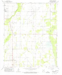 1965 Auvergne1966 Print · USGSJackson County's river bottoms were a maze of sloughs and timbered tracts in the mid-1960s. Genealogists and historians can trace family locations through sites like Odd Fellows Cem, Rutherford Sch, and the quiet community of Auvergne.2 unique versions available
 - 1967 Map of Tuckerman
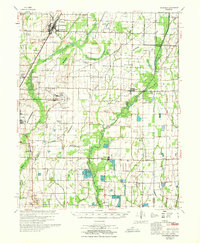 1967 Tuckerman1967 Print · USGSThe Jackson County lowlands are captured here in the mid-sixties, showing a landscape defined by the Cache River and its sloughs. Trace family history at Gracelawn Cem, find old school sites like Eastside Sch, and locate industrial landmarks like Stringers Mill.
 - 1986 Map of Batesville
 1986 Batesville1986 Print · USGSNorth-central Arkansas in the mid-eighties shows a landscape of river-bend towns and Ozark foothills during a period of steady growth. You can trace family roots through numerous upland sites like Hickory Valley School, Sandtown Hill Cem, and the riverfront at Oil Trough.2 unique versions available
 - 2011 Map of Auvergne, 2011 Print
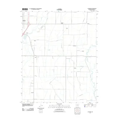 2011 Auvergne2011 Print · USGSJackson County agricultural lands south of Newport appear in detail during the early 21st century. Researchers can trace rural lineages through numerous local sites like Johnstown Cemeteries, Lampkins Cemetery, and the small settlement of Remmel.
 - 2014 Map of Auvergne, 2014 Print
 2014 Auvergne2014 Print · USGSThe Arkansas Delta south of Newport is captured here in the early twenty-first century, showing a landscape defined by water and agriculture. Genealogists and local historians can locate Johnstown Cemeteries, Sand Hill Cem, and the small community of Auvergne.
 - 2017 Map of Auvergne, 2017 Print
 2017 Auvergne2017 Print · USGSThe rural agricultural landscapes of Jackson County are meticulously detailed in this recent survey. Genealogists can trace family heritage through numerous burial sites like Sand Hill Cem and Leachville Cem, while exploring the small hubs of Auvergne and Johnstown.
 - 2020 Map of Auvergne, 2020 Print
 2020 Auvergne2020 Print · USGSJackson County at the dawn of the 2020s shows a landscape of precision drainage and quiet crossroads communities. Genealogists can locate family sites at Sand Hill Cem or Wilkerson Cem, while mapping the rural layout of Remmel and Auvergne.
 - 2024 Map of Auvergne, 2024 Print
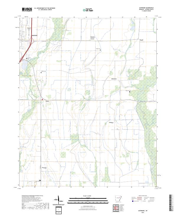 2024 Auvergne2024 Print · USGSThe Jackson County lowlands near Auvergne are shown here as a landscape of sloughs and small rural settlements. Researchers can locate family landmarks including Johnstown Cem, the Haigwood Landing Strip, and the crossroads at Remmel.
End of results
Showing maps 1-11 of 11
Top cities near Auvergne
- Newport historical maps
- Augusta historical maps
- Tuckerman historical maps
- Diaz historical maps
- Newark historical maps
- Bradford historical maps
See more
Frequently asked questions
- What are the different types of historical maps available for Auvergne?
- What is the oldest map of Auvergne?
- Where can I purchase historical maps of Auvergne for my home or office?
- Where can I download high-res historical maps of Auvergne?
- Are there historical topographic maps available for Auvergne?
- Is there historical aerial imagery available for Auvergne?
- Where are historical maps of Auvergne sourced from?