2020s Maps of Lincoln County, Arkansas
Explore 32 historic maps of Lincoln County from the 2020s. These maps offer a rare glimpse into what life looked like during the 2020s — showing old roads, neighborhoods, homes, and landmarks that have changed or disappeared over time.
Whether you're researching your family's past, planning a metal detecting trip, or studying how Lincoln County's landscape evolved across the 2020s, these high-resolution maps are a powerful tool for exploring the history of this region.
- Focus on a specific era: All maps on this page are from the 2020s, giving you a focused view of this time period.
- See what’s changed: Compare century-old streets, trails, and buildings to today's modern landscape using overlays and satellite layers.
- Research with precision: Use these maps for genealogy, historical research, land use analysis, or educational projects.
- View, download, or print: Maps are fully viewable online in high resolution, and can be downloaded or printed for your own records.
Start exploring Lincoln County's history through authentic maps from the 2020s. This is your window into the past.
Lincoln County, AR maps
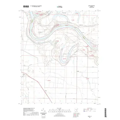
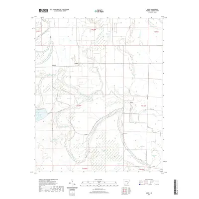
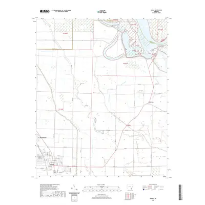
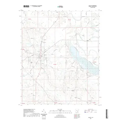
(32)- 2020 Map of Grady, 2020 Print
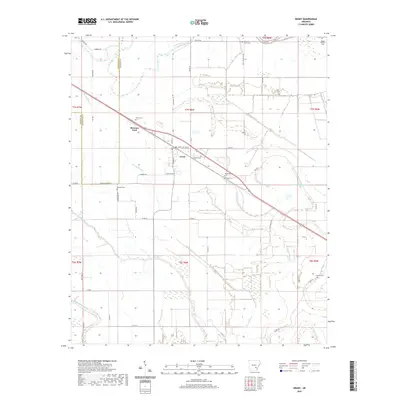 2020 Grady2020 Print · USGSCovers Lincoln County, including Grady, Woodville, and other nearby areas
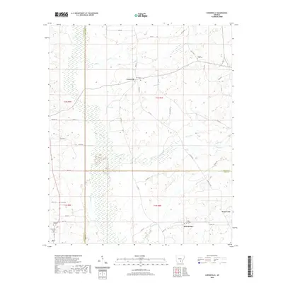
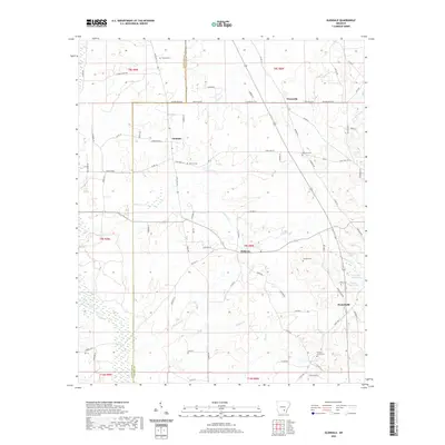
 - 2020 Map of Cornerstone, 2020 Print
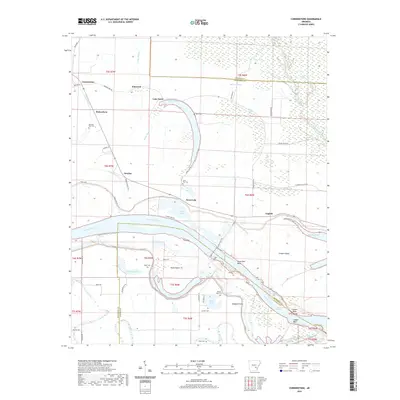 2020 Cornerstone2020 Print · USGSCovers Lincoln County, including Cornerstone, Ichor Falls, and other nearby areas
 - 2020 Map of Reydell, 2020 Print
 2020 Reydell2020 Print · USGSCovers Lincoln County, including Bayou Meto, Langford, and other nearby areas
 - 2020 Map of Cades, 2020 Print
 2020 Cades2020 Print · USGSCovers Lincoln County, including Cades, Farelly Lake, and other nearby areas
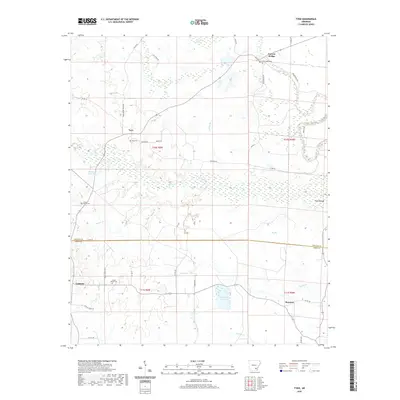
 - 2020 Map of Tarry, 2020 Print
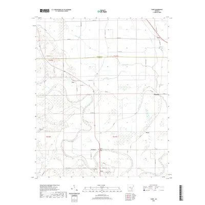 2020 Tarry2020 Print · USGSCovers Lincoln County, including Tamo, Tarry, and other nearby areas
 - 2020 Map of Pinebergen, 2020 Print
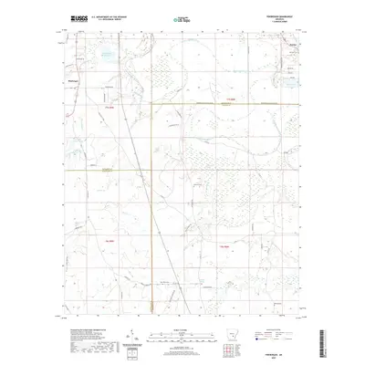 2020 Pinebergen2020 Print · USGSCovers Lincoln County, including Pinebergen, Hooker, and other nearby areas
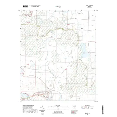
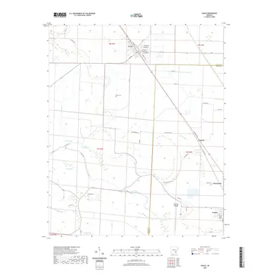
 - 2020 Map of Avery, 2020 Print
 2020 Avery2020 Print · USGSCovers Lincoln County, including Fresno, Meroney, and other nearby areas
 - 2020 Map of Cornerville, 2020 Print
 2020 Cornerville2020 Print · USGSCovers Lincoln County, including Rock Springs, Bethel, and other nearby areas
 - 2020 Map of Relfs Bluff, 2020 Print
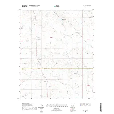 2020 Relfs Bluff2020 Print · USGSCovers Lincoln County, including Little Garnett, Relfs Bluff, and other nearby areas
 - 2020 Map of Dumas, 2020 Print
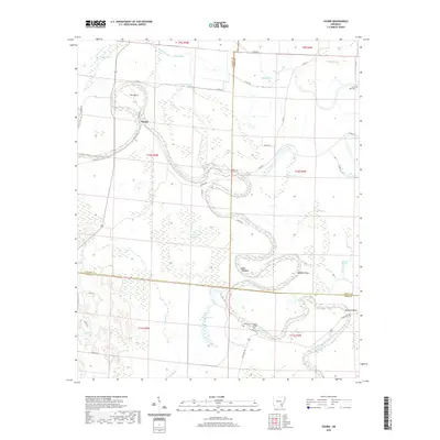
 2020 Dumas2020 Print · USGSCovers Lincoln County, including Dumas, Mitchellville, and other nearby areas
 - 2020 Map of Gourd, 2020 Print
 2020 Gourd2020 Print · USGSCovers Lincoln County, including Gourd, Drew County, and other nearby areas
 - 2020 Map of Tyro, 2020 Print
 2020 Tyro2020 Print · USGSCovers Lincoln County, including Coleman, Florence, and other nearby areas
 - 2020 Map of Star City, 2020 Print
 2020 Star City2020 Print · USGSCovers Lincoln County, including Star City, Crigler, and other nearby areas
 - 2020 Map of Glendale, 2020 Print
 2020 Glendale2020 Print · USGSCovers Lincoln County, including Branchville, Palmyra, and other nearby areas
 - 2020 Map of Gould, 2020 Print
 2020 Gould2020 Print · USGSCovers Lincoln County, including Dumas, Gould, and other nearby areas
 - 2020 Map of Gillett, 2020 Print
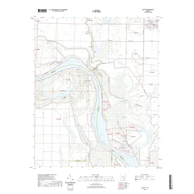 2020 Gillett2020 Print · USGSCovers Lincoln County, including Gillett, Jefferson County, and other nearby areas
 - 2024 Map of Gourd, 2024 Print
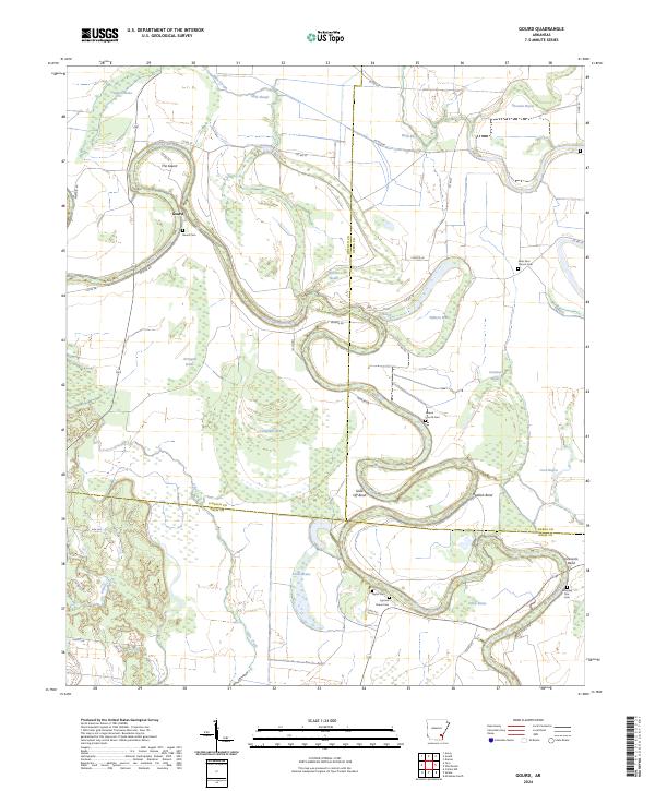 2024 Gourd2024 Print · USGSThe alluvial plains of Lincoln, Desha, and Drew counties come into focus here, where the winding Bayou Bartholomew creates a complex network of oxbows and brakes. Genealogists can trace family roots through numerous local burial sites like Cypress Grove Cem, Taylor Cem, and Saint Paul Church Cem.
 - 2024 Map of Cornerville, 2024 Print
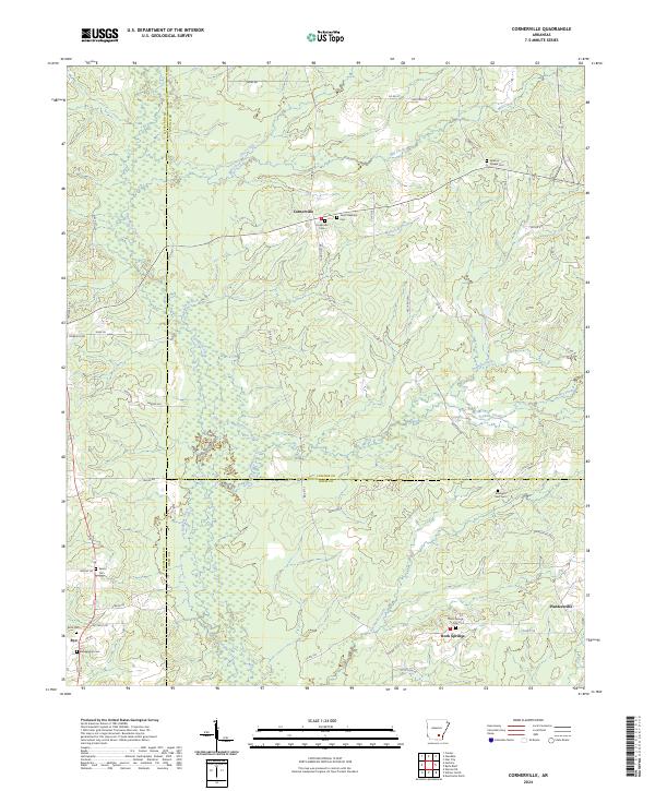 2024 Cornerville2024 Print · USGSThe rural intersection of Cleveland, Lincoln, and Drew counties comes into focus in this contemporary survey of South Arkansas. Researchers can trace local lineage through several burial sites including Newton Chapel Cem, Searcy Cem, and Strangers Rest Cem.
 - 2024 Map of Gould, 2024 Print
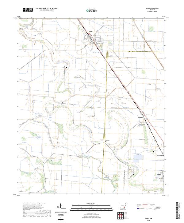 2024 Gould2024 Print · USGSThe Delta country of Lincoln and Desha counties comes into focus in this recent survey of the Gould area. Genealogists and local historians can locate many rural burial sites including Madden Cem, Linder Cem, and Free Gift Cem.
 - 2024 Map of Relfs Bluff, 2024 Print
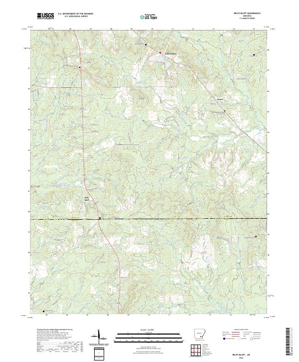 2024 Relfs Bluff2024 Print · USGSThe Lincoln and Drew county line comes alive in the mid-2020s, revealing a landscape of timbered ridges and family homesteads. Researchers can locate remote burial sites like the Martha Adeline Hudson Scott Gravesite or trace creek bottoms from Tenmile Creek to Relfs Bluff.
 - 2024 Map of Reydell, 2024 Print
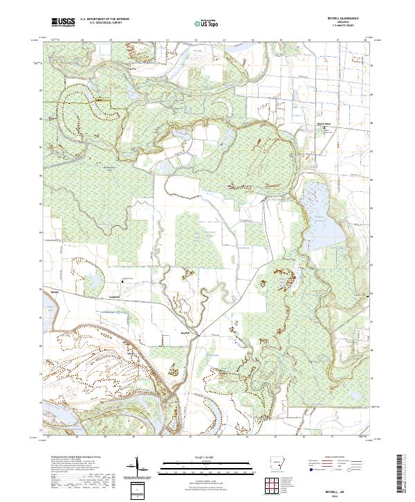 2024 Reydell2024 Print · USGSThe Arkansas riverfront and the wetlands of Jefferson County are captured here in the contemporary era. Researchers can trace the legacy of small settlements like Reydell and Langford or locate family sites at Langford Cem and Lemmons Cem.
 - 2024 Map of Grady, 2024 Print
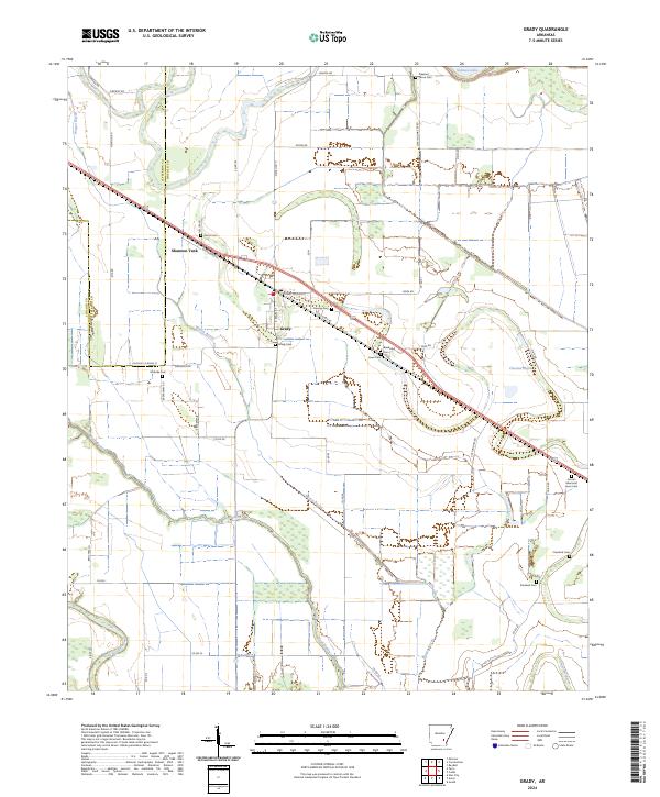 2024 Grady2024 Print · USGSThe Jefferson and Lincoln County border comes alive in this current-era survey of Grady and its surrounding wetlands. Genealogists can trace a remarkable number of local burial sites like Hawley Cem, Randolph Cem, and Dorabell Cem along the historic bayous.
 - 2024 Map of Tarry, 2024 Print
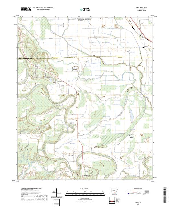 2024 Tarry2024 Print · USGSLincoln County’s alluvial bottomlands and small rural settlements are documented here in the modern era. Genealogists can trace family roots through several local landmarks, including the Belmont Missionary Baptist Original Cem, Bethlehem Cem, and Sneed Chapel Cem.
 - 2024 Map of Tyro, 2024 Print
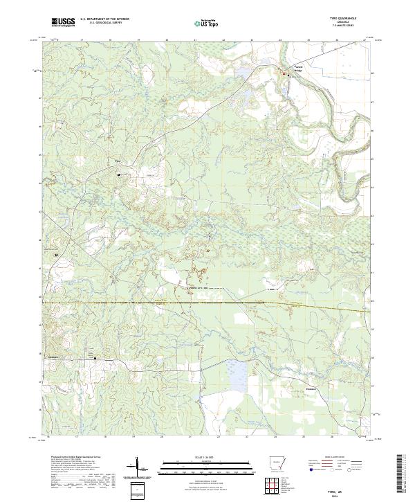 2024 Tyro2024 Print · USGSSoutheast Arkansas in the contemporary era reveals a rural tapestry of creek-fed bottomlands and established family settlements. Genealogists and historians can trace local roots through landmarks like Tyro Cem, Garrett Bridge, and the winding Bayou Bartholomew.
 - 2024 Map of Dumas, 2024 Print
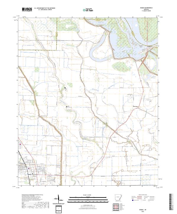 2024 Dumas2024 Print · USGSThe Arkansas delta near the Lincoln and Desha county line is captured here in the early 2020s, showing the intersection of town life and river geography. Researchers can trace family history at the Dumas Family Plot or the rural Jerusalem Cem near Back Gate.
Showing maps 1-25 of 32
Top cities of Lincoln County
Frequently asked questions
- What are the different types of historical maps available for Lincoln County?
- What is the oldest map of Lincoln County?
- Where can I purchase historical maps of Lincoln County for my home or office?
- Where can I download high-res historical maps of Lincoln County?
- Are there historical topographic maps available for Lincoln County?
- Is there historical aerial imagery available for Lincoln County?
- Where are historical maps of Lincoln County sourced from?