2000s (21st Century) Maps of Lincoln County, Arkansas
Explore 80 historic maps of Lincoln County from the 2000s (21st Century). These maps offer a rare glimpse into what life looked like during the 2000s — showing old roads, neighborhoods, homes, and landmarks that have changed or disappeared over time.
Whether you're researching your family's past, planning a metal detecting trip, or studying how Lincoln County's landscape evolved across the 2000s, these high-resolution maps are a powerful tool for exploring the history of this region.
- Focus on a specific era: All maps on this page are from the 2000s, giving you a focused view of this time period.
- See what’s changed: Compare century-old streets, trails, and buildings to today's modern landscape using overlays and satellite layers.
- Research with precision: Use these maps for genealogy, historical research, land use analysis, or educational projects.
- View, download, or print: Maps are fully viewable online in high resolution, and can be downloaded or printed for your own records.
Start exploring Lincoln County's history through authentic maps from the 2000s. This is your window into the past.
Lincoln County, AR maps
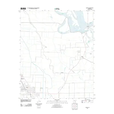
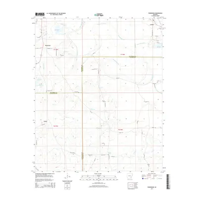
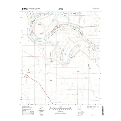
(80)- 2011 Map of Pinebergen, 2011 Print
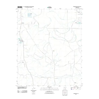 2011 Pinebergen2011 Print · USGSCovers Lincoln County, including Pinebergen, Hooker, and other nearby areas
 - 2011 Map of Cades, 2011 Print
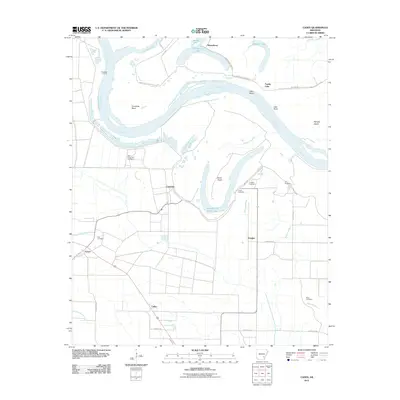 2011 Cades2011 Print · USGSCovers Lincoln County, including Cades, Farelly Lake, and other nearby areas
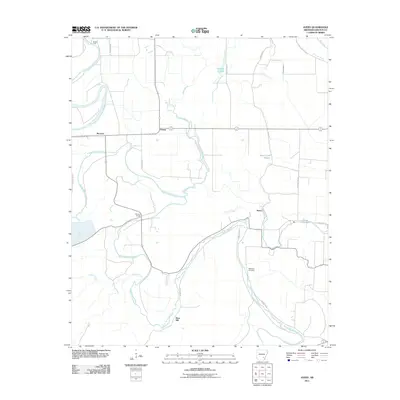
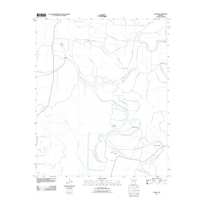
 - 2011 Map of Reydell, 2011 Print
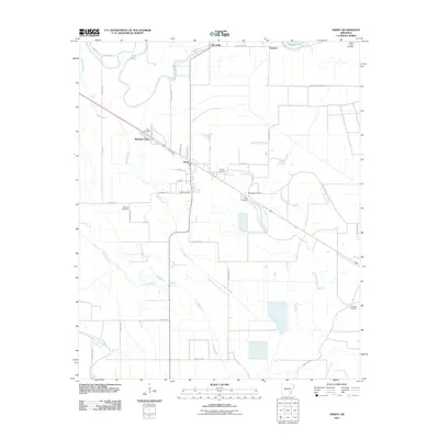
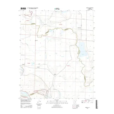
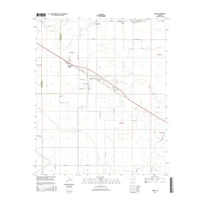
 2011 Reydell2011 Print · USGSCovers Lincoln County, including Bayou Meto, Langford, and other nearby areas
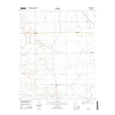
 - 2011 Map of Tarry, 2011 Print
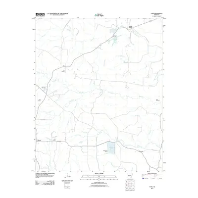
 2011 Tarry2011 Print · USGSCovers Lincoln County, including Tamo, Tarry, and other nearby areas
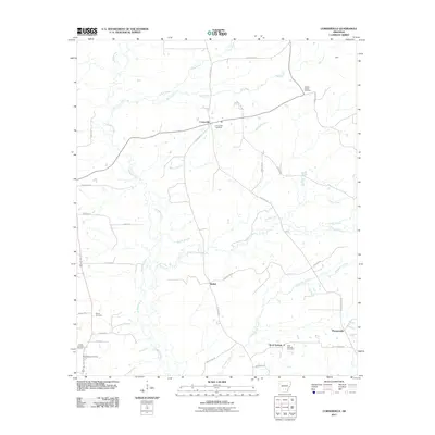
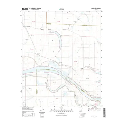
 - 2011 Map of Cornerstone, 2011 Print
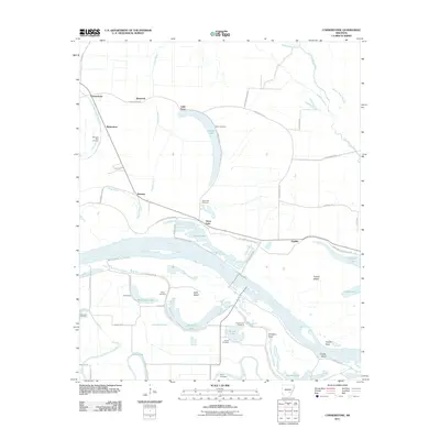 2011 Cornerstone2011 Print · USGSCovers Lincoln County, including Cornerstone, Ichor Falls, and other nearby areas
 - 2011 Map of Gillett, 2011 Print
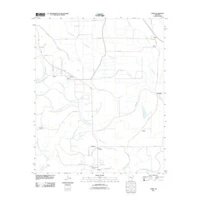
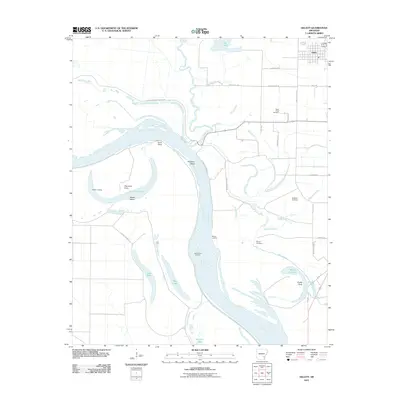 2011 Gillett2011 Print · USGSCovers Lincoln County, including Gillett, Jefferson County, and other nearby areas
 - 2011 Map of Grady, 2011 Print
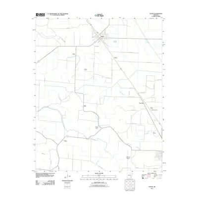
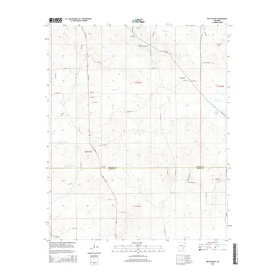
 2011 Grady2011 Print · USGSCovers Lincoln County, including Grady, Woodville, and other nearby areas
 - 2011 Map of Star City, 2011 Print
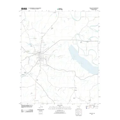 2011 Star City2011 Print · USGSCovers Lincoln County, including Star City, Crigler, and other nearby areas
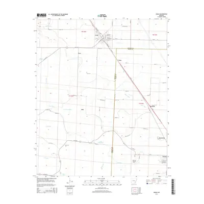
 - 2011 Map of Glendale, 2011 Print
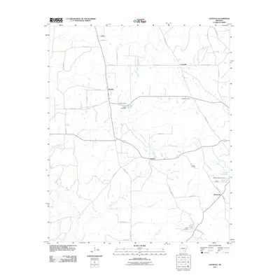 2011 Glendale2011 Print · USGSCovers Lincoln County, including Branchville, Palmyra, and other nearby areas
 - 2011 Map of Avery, 2011 Print
 2011 Avery2011 Print · USGSCovers Lincoln County, including Fresno, Meroney, and other nearby areas
 - 2011 Map of Tyro, 2011 Print
 2011 Tyro2011 Print · USGSCovers Lincoln County, including Coleman, Florence, and other nearby areas
 - 2011 Map of Gould, 2011 Print
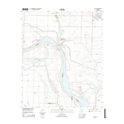
 2011 Gould2011 Print · USGSCovers Lincoln County, including Dumas, Gould, and other nearby areas
 - 2011 Map of Dumas, 2011 Print
 2011 Dumas2011 Print · USGSCovers Lincoln County, including Dumas, Mitchellville, and other nearby areas
 - 2011 Map of Gourd, 2011 Print
 2011 Gourd2011 Print · USGSCovers Lincoln County, including Gourd, Drew County, and other nearby areas
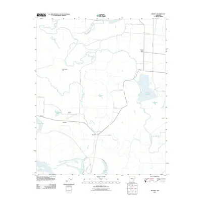
 - 2011 Map of Relfs Bluff, 2011 Print
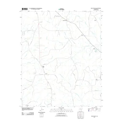 2011 Relfs Bluff2011 Print · USGSCovers Lincoln County, including Little Garnett, Relfs Bluff, and other nearby areas
 - 2011 Map of Cornerville, 2011 Print
 2011 Cornerville2011 Print · USGSCovers Lincoln County, including Rock Springs, Bethel, and other nearby areas
 - 2014 Map of Reydell, 2014 Print
 2014 Reydell2014 Print · USGSCovers Lincoln County, including Bayou Meto, Langford, and other nearby areas
 - 2014 Map of Pinebergen, 2014 Print
 2014 Pinebergen2014 Print · USGSCovers Lincoln County, including Pinebergen, Hooker, and other nearby areas
 - 2014 Map of Cornerstone, 2014 Print
 2014 Cornerstone2014 Print · USGSCovers Lincoln County, including Cornerstone, Ichor Falls, and other nearby areas
 - 2014 Map of Tarry, 2014 Print
 2014 Tarry2014 Print · USGSCovers Lincoln County, including Tamo, Tarry, and other nearby areas
 - 2014 Map of Cades, 2014 Print
 2014 Cades2014 Print · USGSCovers Lincoln County, including Cades, Farelly Lake, and other nearby areas
 - 2014 Map of Gillett, 2014 Print
 2014 Gillett2014 Print · USGSCovers Lincoln County, including Gillett, Jefferson County, and other nearby areas
 - 2014 Map of Relfs Bluff, 2014 Print
 2014 Relfs Bluff2014 Print · USGSCovers Lincoln County, including Little Garnett, Relfs Bluff, and other nearby areas
 - 2014 Map of Grady, 2014 Print
 2014 Grady2014 Print · USGSCovers Lincoln County, including Grady, Woodville, and other nearby areas
 - 2014 Map of Gould, 2014 Print
 2014 Gould2014 Print · USGSCovers Lincoln County, including Dumas, Gould, and other nearby areas
Showing maps 1-25 of 80
Top cities of Lincoln County
Frequently asked questions
- What are the different types of historical maps available for Lincoln County?
- What is the oldest map of Lincoln County?
- Where can I purchase historical maps of Lincoln County for my home or office?
- Where can I download high-res historical maps of Lincoln County?
- Are there historical topographic maps available for Lincoln County?
- Is there historical aerial imagery available for Lincoln County?
- Where are historical maps of Lincoln County sourced from?