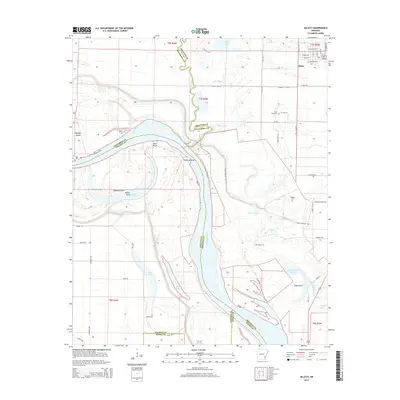
2014 Map of Gillett
USGS Topo · Published 2014About this map
Gillett anchors the northern reaches of this survey, where a grid of rural roads meets the intricate hydrology of the Arkansas Delta. The town's layout, centered around W Main St and W Harrison Ave, transitions into a landscape dominated by the winding course of Bayou Meto and the broader sweep of the Arkansas River. This confluence of waterways has created a complex terrain of oxbows and points, including Taylor Old River and Thedford Bend.
Find a feature on this map
102 named features on this map. Tap any name to fly to it.
Don’t see what you’re looking for? This feature index may not catch every label — zoom into the map to look around manually.
Map Details
Editions of this 2014 Gillett Map
This is the sole edition of this map. No revisions or reprints were ever made.
Other maps of this area

1935 · Varner
USGS Topo · 1:62,500

1935 · Rotan
USGS Topo · 1:62,500

1935 · Red Fork
USGS Topo · 1:62,500

1935 · Gillett
USGS Topo · 1:62,500

1948 · Helena
USGS Topo · 1:250,000

1950 · Helena
USGS Topo · 1:250,000

1953 · Greenwood
USGS Topo · 1:250,000

1955 · Helena
USGS Topo · 1:250,000

1956 · Greenwood
USGS Topo · 1:250,000

1959 · Helena
USGS Topo · 1:250,000