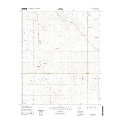
2014 Map of Relfs Bluff
USGS Topo · Published 2014About this map
Relfs Bluff and Garnett anchor this rural landscape in the 2010s, where the boundary between Lincoln and Drew counties cuts through a series of creek drainages. The topography is defined by the winding paths of Sevenmile Cr and Tenmile Cr, which flow through a network of small family-named roads like Goodfellow Rd and Gentry Rd. This area maintains a strong connection to its pioneer roots, evidenced by the high density of preserved family and community burial grounds, including Holly Springs Cem and Maxwell Cem.
Find a feature on this map
65 named features on this map. Tap any name to fly to it.
Don’t see what you’re looking for? This feature index may not catch every label — zoom into the map to look around manually.
Map Details
Editions of this 2014 Relfs Bluff Map
This is the sole edition of this map. No revisions or reprints were ever made.
Other maps of this area

1935 · Feenyville
USGS Topo · 1:62,500

1935 · Cominto
USGS Topo · 1:62,500

1935 · Rotan
USGS Topo · 1:62,500

1953 · Greenwood
USGS Topo · 1:250,000

1956 · Greenwood
USGS Topo · 1:250,000

1960 · Collins NW
USGS Topo · 1:24,000

1960 · Collins
USGS Topo · 1:62,500
1964 · Avery
USGS Topo · 1:24,000
1964 · Tyro
USGS Topo · 1:24,000

1966 · Monticello North
USGS Topo · 1:24,000