2010s Maps of Lincoln County, Arkansas
Explore 48 historic maps of Lincoln County from the 2010s. These maps offer a rare glimpse into what life looked like during the 2010s — showing old roads, neighborhoods, homes, and landmarks that have changed or disappeared over time.
Whether you're researching your family's past, planning a metal detecting trip, or studying how Lincoln County's landscape evolved across the 2010s, these high-resolution maps are a powerful tool for exploring the history of this region.
- Focus on a specific era: All maps on this page are from the 2010s, giving you a focused view of this time period.
- See what’s changed: Compare century-old streets, trails, and buildings to today's modern landscape using overlays and satellite layers.
- Research with precision: Use these maps for genealogy, historical research, land use analysis, or educational projects.
- View, download, or print: Maps are fully viewable online in high resolution, and can be downloaded or printed for your own records.
Start exploring Lincoln County's history through authentic maps from the 2010s. This is your window into the past.
Lincoln County, AR maps
(48)- 2011 Map of Pinebergen, 2011 Print
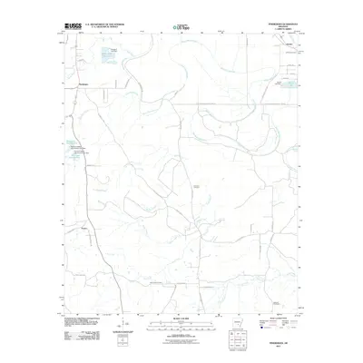 2011 Pinebergen2011 Print · USGSSoutheast of Pine Bluff in the early twenty-first century, this Arkansas landscape is defined by the winding course of Bayou Bartholomew. Genealogists and historians can locate family sites at Jefferson Cemetery and Grahams Cemetery or trace the rural routes of Eunice and Hooker.
 - 2011 Map of Cades, 2011 Print
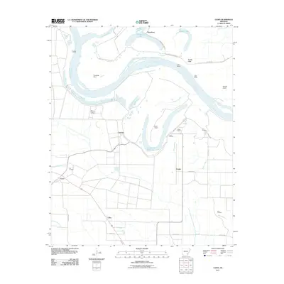 2011 Cades2011 Print · USGSLincoln County’s riverfront comes into focus in the early 2000s, where the winding Arkansas River shapes life around Cummins and Douglas. Genealogists can trace local roots at Rice Cemetery, Ross Cemetery, or the institutional lands of State Penal Farm Number 2.
 - 2011 Map of Reydell, 2011 Print
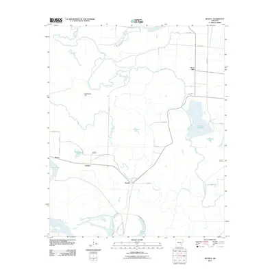 2011 Reydell2011 Print · USGSThe rural lowlands of Arkansas County are captured here in the early 2010s, showing a landscape defined by the winding Bayou Meto. Researchers can trace local lineage at Langford Cemetery or locate the small settlements of Reydell, Langford, and Birmac.
 - 2011 Map of Tarry, 2011 Print
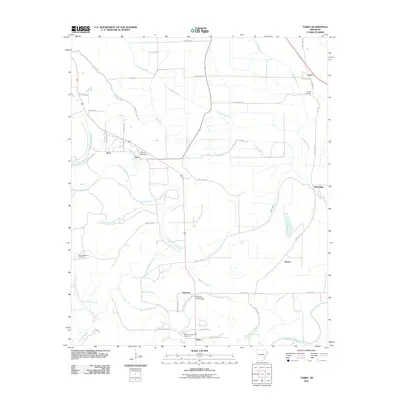 2011 Tarry2011 Print · USGSJefferson County rural life is captured here in the early twenty-first century, showing a landscape shaped by winding waterways and small farming communities. You can trace family roots through the Marzel Cemetery, locate the old Atkinson Ford Bridge, or explore the reaches of Bayou Bartholomew.
 - 2011 Map of Cornerstone, 2011 Print
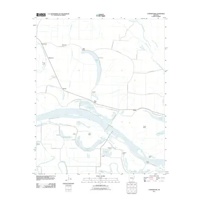 2011 Cornerstone2011 Print · USGSThe Arkansas River lowlands south of Pine Bluff come to life in this detailed digital survey. Genealogists and researchers can trace family plots across numerous sites like Morning Star Cemetery or Garrett Cemetery and locate small settlements like Sweden and English.
 - 2011 Map of Gillett, 2011 Print
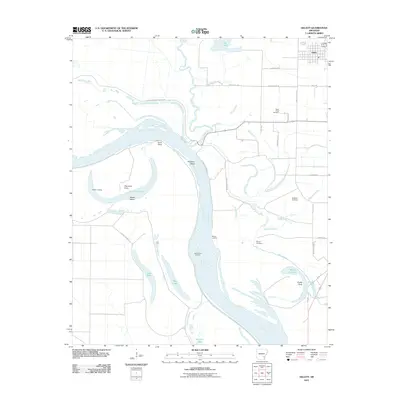 2011 Gillett2011 Print · USGSThe Arkansas River Delta in the early 2010s reveals a landscape defined by oxbow lakes and rural settlements. Genealogists can trace family names through landmarks like Saint Pauls Cemetery, Moore Landing, and the remnants of the old river at Taylor Old River.
 - 2011 Map of Grady, 2011 Print
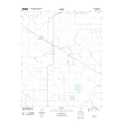 2011 Grady2011 Print · USGSSoutheast Arkansas farming and rail life are front and center in this Lincoln County study. Genealogists and historians can trace numerous family-named landmarks and rural burial sites, including Gocio Cemetery, McBride Cemetery, and the settlement at Shannon Tank.
 - 2011 Map of Star City, 2011 Print
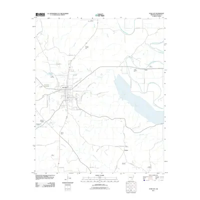 2011 Star City2011 Print · USGSStar City and its surrounding Lincoln County countryside are shown here in the early twenty-first century. Family historians can locate numerous burial grounds like Bush Cemetery and Heflin Cemetery or trace the waters of Bayou Bartholomew.
 - 2011 Map of Glendale, 2011 Print
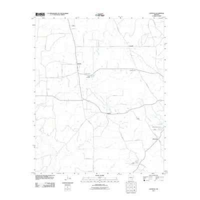 2011 Glendale2011 Print · USGSLincoln County, Arkansas, at the start of the 2010s reveals a quiet landscape of rural crossroads and family homesteads. Genealogists can trace local heritage through numerous burial sites like Zachary Cemetery and Newman Cemetery or explore the creekside settlements of Glendale and Branchville.
 - 2011 Map of Avery, 2011 Print
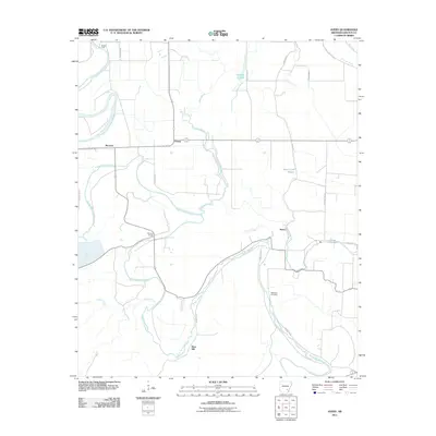 2011 Avery2011 Print · USGSLincoln County at the start of the 2010s is defined by the winding course of Bayou Bartholomew and its many tributaries. Genealogists and local historians can locate early settlements like Fresno and Avery or trace family roots at Mackwee Cemetery.
 - 2011 Map of Tyro, 2011 Print
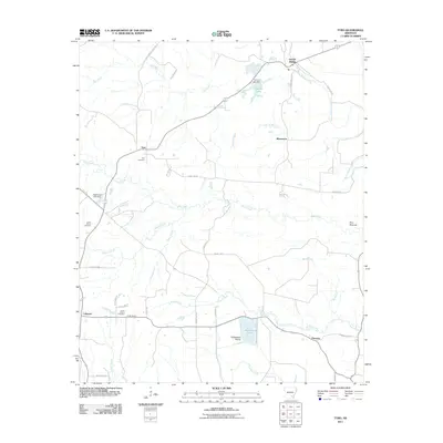 2011 Tyro2011 Print · USGSSoutheast Arkansas in the early twenty-first century reveals a landscape of enduring rural communities and winding waterways. Genealogists and local historians can trace family roots through Tyro Cemetery or locate landmarks like Twin Mounds and Garrett Bridge.
 - 2011 Map of Gould, 2011 Print
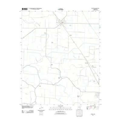 2011 Gould2011 Print · USGSGould and the surrounding Desha County delta appear in the early 21st century as a landscape defined by industrial agriculture and rural aviation. Researchers can locate family roots at Thomas Cemetery or Madden Cemetery and trace the proximity of local settlements like Reedville and Mills.
 - 2011 Map of Dumas, 2011 Print
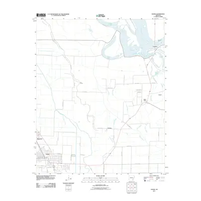 2011 Dumas2011 Print · USGSDumas and the Arkansas River valley are shown here just after the first decade of the new millennium. Researchers can trace the layout of Dumas and Mitchellville, find family plots at Leach Cemetery, and locate the historic crossing at Pendleton Ferry.
 - 2011 Map of Gourd, 2011 Print
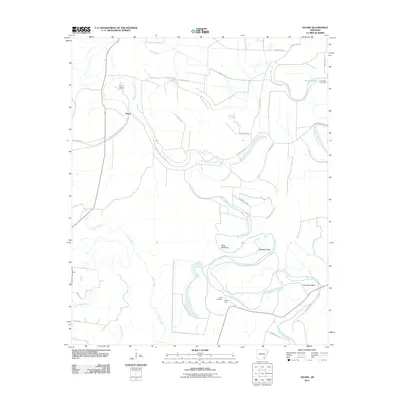 2011 Gourd2011 Print · USGSThe rural riverlands of Lincoln County are captured here in the early twenty-first century as agricultural life follows the winding path of Bayou Bartholomew. Researchers can locate family landmarks like Taylor Cemetery and Valley Farm or trace the distinct river curves at Slide Off Bend.
 - 2011 Map of Relfs Bluff, 2011 Print
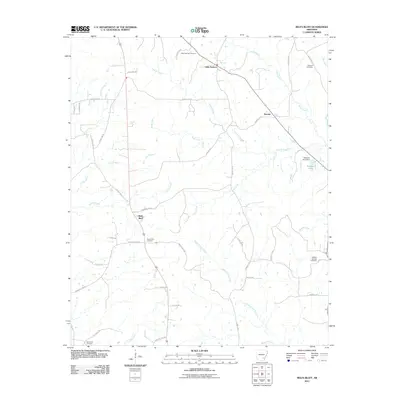 2011 Relfs Bluff2011 Print · USGSLincoln County at the start of the 2010s reveals a quiet landscape of rural settlements and winding creek beds. Researchers can locate several burial grounds like Holly Springs Cemetery and Maxwell Cemetery near Little Garnett.
 - 2011 Map of Cornerville, 2011 Print
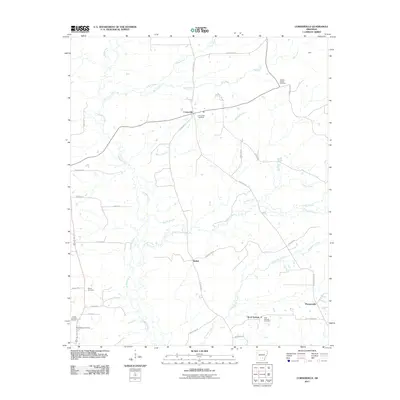 2011 Cornerville2011 Print · USGSSoutheast Arkansas at the start of the 2010s reveals a landscape of quiet rural settlements and established family landmarks. Genealogists can trace deep local roots through the Newton Chapel Cemetery, Searcy Cemetery, and the communities of Bethel and Cornerville.
 - 2014 Map of Reydell, 2014 Print
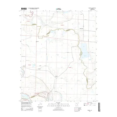 2014 Reydell2014 Print · USGSThe rural delta landscape near the Arkansas and Jefferson county line is shown here in the early twenty-first century. Genealogists and local historians can locate the small communities of Reydell and Langford, as well as Langford Cem and Lemmons Cem.
 - 2014 Map of Pinebergen, 2014 Print
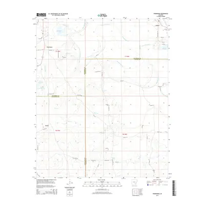 2014 Pinebergen2014 Print · USGSSoutheastern Arkansas settlements and waterways appear in detail on this 2010s-era survey at the meeting of three counties. Genealogists and researchers can trace local landmarks like Jefferson Cem, Griffith Springs, and the waters of Bayou Bartholomew.
 - 2014 Map of Cornerstone, 2014 Print
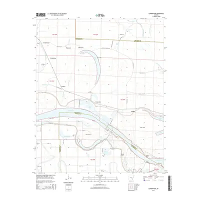 2014 Cornerstone2014 Print · USGSThe Arkansas River floodplain south of Pine Bluff comes into focus in this modern survey, revealing a landscape of oxbow lakes and rural settlements. Researchers can locate numerous local burial grounds like Morning Star Cem and Garrett Cem alongside the historic bends of Old River Lake and Swan Lake.
 - 2014 Map of Tarry, 2014 Print
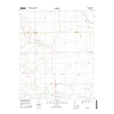 2014 Tarry2014 Print · USGSJefferson and Lincoln counties are shown here in the early 2010s, defined by the winding course of Bayou Bartholomew and small rural hubs. Researchers can trace local history through sites like Atkinson Ford Bridge, New Macedonia Cem, and the settlement at Yorktown.
 - 2014 Map of Cades, 2014 Print
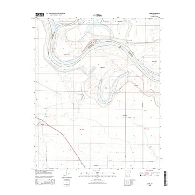 2014 Cades2014 Print · USGSThe Arkansas Delta comes to life in this recent study of the river's winding path through Lincoln and Jefferson counties. Researchers can locate family landmarks like Douglas Cem and Ross Cem or trace old routes near Cummins and Varner.
 - 2014 Map of Gillett, 2014 Print
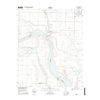 2014 Gillett2014 Print · USGSSoutheast Arkansas in the early twenty-first century reveals a landscape shaped by the Arkansas River and its many former channels. Researchers can trace family roots at Saint Pauls Cem or explore the river terrain near Bicker-Crossing and Thedford Bend.
 - 2014 Map of Relfs Bluff, 2014 Print
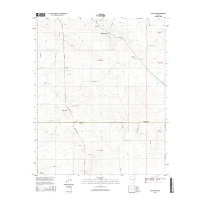 2014 Relfs Bluff2014 Print · USGSSoutheast Arkansas at the start of the century remains a landscape of quiet creek bottoms and rural crossroads settlements. Genealogists can trace family footprints across numerous sites like Holly Springs Cem, Maxwell Cem, and the community of Relfs Bluff.
 - 2014 Map of Grady, 2014 Print
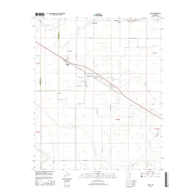 2014 Grady2014 Print · USGSLincoln County farmland and delta bayous define this region in the early twenty-first century, centered on the town of Grady. Genealogists and local historians can locate numerous burial sites including Hawley Cem, Grady Cem, and McBride Cem alongside the waters of Sarassa Lake.
 - 2014 Map of Gould, 2014 Print
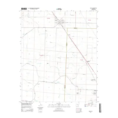 2014 Gould2014 Print · USGSSoutheast Arkansas at the turn of the decade reveals a productive landscape of delta bayous and agricultural centers. Genealogists and local historians can trace the positions of Thomas Cem, the rural settlement of Flynn, and the streets of Gould.
Showing maps 1-25 of 48
Top cities of Lincoln County
Frequently asked questions
- What are the different types of historical maps available for Lincoln County?
- What is the oldest map of Lincoln County?
- Where can I purchase historical maps of Lincoln County for my home or office?
- Where can I download high-res historical maps of Lincoln County?
- Are there historical topographic maps available for Lincoln County?
- Is there historical aerial imagery available for Lincoln County?
- Where are historical maps of Lincoln County sourced from?