2000s (21st Century) Maps of Jacks Isle, Arkansas
Explore 5 historic maps of Jacks Isle from the 2000s (21st Century). These maps offer a rare glimpse into what life looked like during the 2000s — showing old roads, neighborhoods, homes, and landmarks that have changed or disappeared over time.
Whether you're researching your family's past, planning a metal detecting trip, or studying how Jacks Isle's landscape evolved across the 2000s, these high-resolution maps are a powerful tool for exploring the history of this region.
- Focus on a specific era: All maps on this page are from the 2000s, giving you a focused view of this time period.
- See what’s changed: Compare century-old streets, trails, and buildings to today's modern landscape using overlays and satellite layers.
- Research with precision: Use these maps for genealogy, historical research, land use analysis, or educational projects.
- View, download, or print: Maps are fully viewable online in high resolution, and can be downloaded or printed for your own records.
Start exploring Jacks Isle's history through authentic maps from the 2000s. This is your window into the past.
Jacks Isle, AR maps
(5)- 2011 Map of Ashdown East, 2011 Print
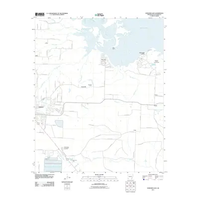 2011 Ashdown East2011 Print · USGSCovers Jacks Isle, including Ashdown, Peytonville, and other nearby areas
 - 2014 Map of Ashdown East, 2014 Print
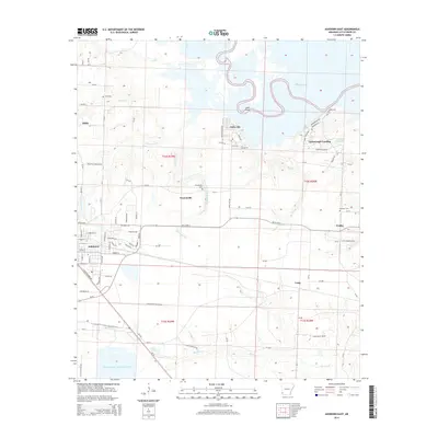 2014 Ashdown East2014 Print · USGSCovers Jacks Isle, including Ashdown, Peytonville, and other nearby areas
 - 2017 Map of Ashdown East, 2017 Print
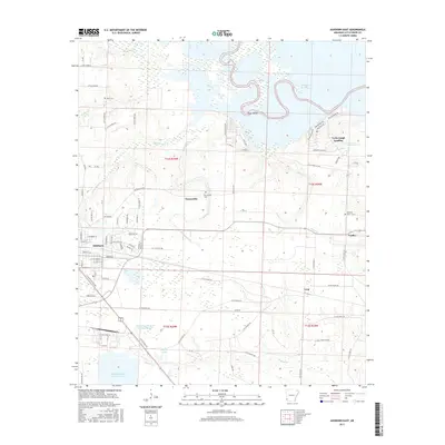 2017 Ashdown East2017 Print · USGSCovers Jacks Isle, including Ashdown, Peytonville, and other nearby areas
 - 2020 Map of Ashdown East, 2020 Print
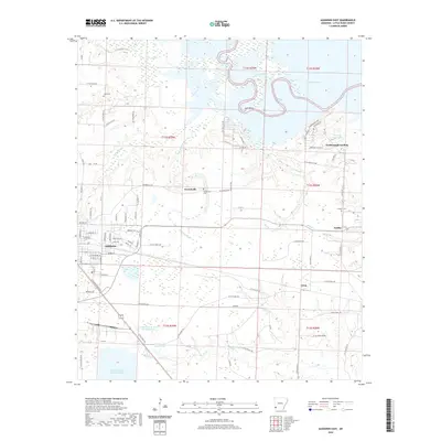 2020 Ashdown East2020 Print · USGSCovers Jacks Isle, including Ashdown, Peytonville, and other nearby areas
 - 2024 Map of Ashdown East, 2024 Print
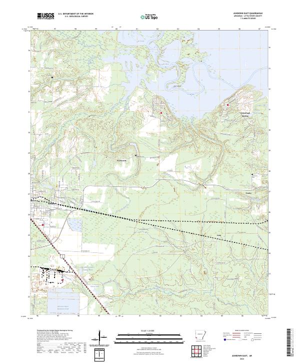 2024 Ashdown East2024 Print · USGSThe eastern reaches of Ashdown and the meandering Little River are documented in this recent survey of Little River County. Genealogists can locate several remote burial sites including Cook Cem and Newsome Cem, while following the paths of the KCS rail line and Peytonville Rd.
End of results
Showing maps 1-5 of 5
Top cities near Jacks Isle
- Texarkana historical maps
- Texarkana historical maps
- Nashville historical maps
- Ashdown historical maps
- Mineral Springs historical maps
- Red Lick historical maps
See more
Frequently asked questions
- What are the different types of historical maps available for Jacks Isle?
- What is the oldest map of Jacks Isle?
- Where can I purchase historical maps of Jacks Isle for my home or office?
- Where can I download high-res historical maps of Jacks Isle?
- Are there historical topographic maps available for Jacks Isle?
- Is there historical aerial imagery available for Jacks Isle?
- Where are historical maps of Jacks Isle sourced from?