Old Maps of Jacks Isle, Arkansas for Hiking & Exploration
Hike through history with 11 historic maps of Jacks Isle. Explore old trails, ghost towns, and forgotten backroads — perfect for outdoor adventurers and local explorers.
- Rediscover forgotten places: Map out old mining camps, roads, and footpaths that no longer exist on modern maps.
- Layer with modern tools: Combine with LiDAR or satellite views to plan hikes through historical terrain.
- Made for exploration: Popular among hikers, overlanders, and local history lovers.
Use these maps to find adventure and explore the hidden past of Jacks Isle.
Jacks Isle, AR maps
(11)- 1950 Map of Ashdown East, 1956 Print
 1950 Ashdown East1956 Print · USGSLittle River County at the midpoint of the century is defined by its winding river oxbows and vital rail junctions. Researchers can trace the path of the Kansas City Southern railroad through Ashdown or locate rural landmarks like Zealia Chapel and Fomby Sch.2 unique versions available
 - 1951 Map of Ashdown East
 1951 Ashdown East1951 Print · USGSLittle River County at mid-century was a landscape defined by the winding Little River and a busy network of southern rail lines. Researchers can trace rural life through landmarks like Peytonville, Zealia Chapel, and the Fomby Sch schoolhouse.2 unique versions available
 - 1953 Map of Texarkana, 1964 Print
 1953 Texarkana1964 Print · USGSThe Texas-Arkansas borderlands are captured here in the mid-fifties, during a decade of massive military and hydraulic engineering projects. Genealogists and researchers can locate family landmarks like Old Boston Cem, Siloam Ch, and the vast Red River Arsenal.4 unique versions available
 - 1956 Map of Texarkana
 1956 Texarkana1956 Print · USGSThe Ark-La-Tex borderlands come alive in the mid-fifties, showing the transition from a rail-dependent rural economy to a post-war industrial landscape. Researchers can trace the massive Red River Ordnance Depot and find towns like Talco, Bogata, and Naples.
 - 1986 Map of Idabel
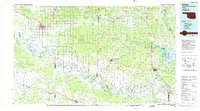 1986 Idabel1986 Print · USGSThe tri-state borderlands of Oklahoma, Arkansas, and Texas come alive in the 1980s, centered on the Red River and the timberlands of the Ouachita National Forest. Genealogists and historians can trace the paths of the Missouri Pacific railroad through towns like Bokhoma and Ashdown.
 - 1990 Map of Idabel
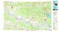 1990 Idabel1990 Print · USGSThe tri-state borderlands of Oklahoma, Arkansas, and Texas come alive in this late twentieth-century survey of the Red River valley. Researchers can trace the legacy of rail and river commerce through settlements like Bokhoma and Ashdown or find rural landmarks such as Hill Chapel.
 - 2011 Map of Ashdown East, 2011 Print
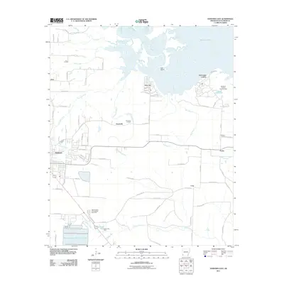 2011 Ashdown East2011 Print · USGSThe Little River valley in Southwest Arkansas is captured here in the early twenty-first century as Millwood Lake defines the northern landscape. Local researchers can pinpoint family sites at Cook Cemetery or trace the early settlement footprints of Peytonville and Fomby.
 - 2014 Map of Ashdown East, 2014 Print
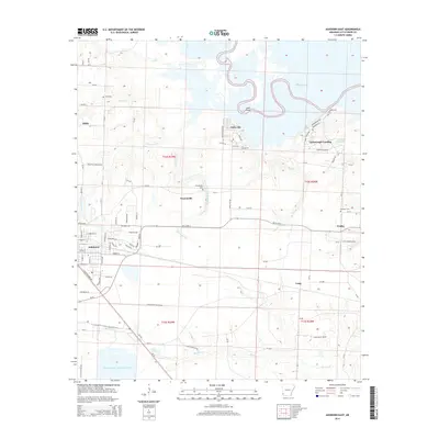 2014 Ashdown East2014 Print · USGSThe eastern edges of Ashdown meet the expansive shoreline of Millwood Lake in this 2014 survey. Researchers can locate family roots at Peytonville Cem or trace the early paths of Yarborough Landing and the rural settlement of Hicks.
 - 2017 Map of Ashdown East, 2017 Print
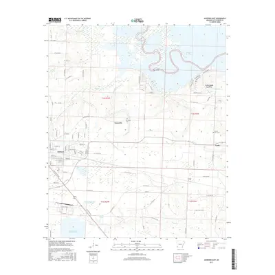 2017 Ashdown East2017 Print · USGSLittle River County settlement and river geography are captured here in the late twenty-tens, from the streets of Ashdown to the shores of Millwood Lake. Researchers can trace rural lineages through the Peytonville Cem or locate the landings at Yarborough Landing and Fomby.
 - 2020 Map of Ashdown East, 2020 Print
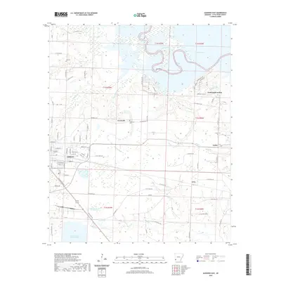 2020 Ashdown East2020 Print · USGSLittle River County at the start of the 2020s shows a landscape defined by the Arkansas riverlands and the growth of its county seat. Researchers can find old family burial sites at Peytonville Cem and trace the rural settlements of Fomby and Yarborough Landing.
 - 2024 Map of Ashdown East, 2024 Print
 2024 Ashdown East2024 Print · USGSThe eastern reaches of Ashdown and the meandering Little River are documented in this recent survey of Little River County. Genealogists can locate several remote burial sites including Cook Cem and Newsome Cem, while following the paths of the KCS rail line and Peytonville Rd.
End of results
Showing maps 1-11 of 11
Top cities near Jacks Isle
- Texarkana historical maps
- Texarkana historical maps
- Nashville historical maps
- Ashdown historical maps
- Mineral Springs historical maps
- Red Lick historical maps
See more
Frequently asked questions
- What are the different types of historical maps available for Jacks Isle?
- What is the oldest map of Jacks Isle?
- Where can I purchase historical maps of Jacks Isle for my home or office?
- Where can I download high-res historical maps of Jacks Isle?
- Are there historical topographic maps available for Jacks Isle?
- Is there historical aerial imagery available for Jacks Isle?
- Where are historical maps of Jacks Isle sourced from?