Old Maps of Summit, Arkansas for Metal Detecting
Plan your next treasure hunt with 24 historic maps of Summit. Find old homesites, ghost towns, trails, and gathering spots that may be lost to time — perfect for identifying promising metal detecting locations.
- Locate forgotten sites: Uncover places like long-lost settlements, abandoned rail lines, or gathering spots.
- Plan better hunts: Use map overlays combined with LiDAR or satellite views to narrow in on historically rich areas.
- Made for detectorists: Thousands of hobbyists use these maps to discover relics, coins, and hidden history.
Use these historic maps to boost your research and find new opportunities beneath the surface of Summit.
Summit, AR maps
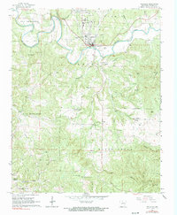
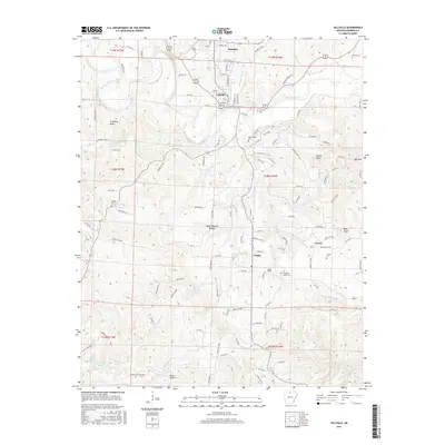
(24)- 1893 Map of Yellville
 1893 Yellville1893 Print · USGSNorthern Arkansas in the late nineteenth century was a world defined by its rivers and local crossings. You can trace the ancestral ferry routes along the White River and locate settlements with unique local nicknames like Peel (Needmore) and St Joe (Monkey Run).2 unique versions available
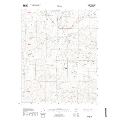
 - 1903 Map of Yellville
 1903 Yellville1903 Print · USGSNorth Central Arkansas in the late nineteenth century is a land of winding river valleys and ridge-top settlements. Genealogists can trace early homesteads and river crossings like Denton Ferry, Yellville, and the remote outposts of Dodd City or St. Joe.
 - 1905 Map of Yellville
 1905 Yellville1905 Print · USGSThe Ozark Mountains and the winding White River define this area at the start of the twentieth century. Genealogists can trace family names through dozens of river crossings and small settlements like Denton Ferry, Rush, and Elixir Springs.3 unique versions available
 - 1929 Map of Yellville, 1954 Print
 1929 Yellville1954 Print · USGSThe Ozark river valleys and early rail corridors of north-central Arkansas are shown here during the late 1920s. Researchers can trace historic river crossings like Whites Ferry and Moony Ford or locate regional hubs such as Yellville and Cotter.
 - 1945 Map of Harrison
 1945 Harrison1945 Print · USGSThe Ozark and Boston Mountains straddle the Missouri-Arkansas border during the mid-forties, showing a landscape of forest ridges and river valleys. Genealogists and historians can trace rail-connected towns like Monett and West Plains or early lake developments at Bull Shoals Res and Norfork Lake.
 - 1949 Map of Harrison
 1949 Harrison1949 Print · USGSThe Ozark highlands of northern Arkansas and southern Missouri are shown just after the war, when the White River still followed its original course. Genealogists and historians can trace rail lines like the Missouri & Arkansas RR and locate rural hubs like Harrison, Eureka Springs, and Mountain Home.
 - 1954 Map of Harrison
 1954 Harrison1954 Print · USGSThe Ozarks and Boston Mountains meet during a period of massive river engineering in the mid-fifties. Researchers can trace the early shorelines of Bull Shoals Lake and Table Rock Reservoir or locate inland towns like Berryville and Harrison.
 - 1958 Map of Harrison, 1973 Print
 1958 Harrison1973 Print · USGSThe Ozark and Boston Mountains appear in this mid-century survey as the great White River impoundments were reshaping the region. Researchers can trace the rail lines of the St Louis-San Francisco Ry and locate early settlements like Berryville and Gainesville.
 - 1964 Map of Harrison
 1964 Harrison1964 Print · USGSThe Ozark and Boston Mountains of Arkansas and Missouri are captured here in the mid-sixties, showing the rugged highlands before extensive modern development. Genealogists and historians can trace family-named peaks like Gaither Mountain and follow the St Louis-San Francisco RR through Monett and Purdy.
 - 1966 Map of Yellville, 1967 Print
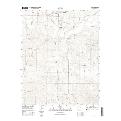
 1966 Yellville1967 Print · USGSMarion County life in the mid-sixties centered around the confluence of the Missouri Pacific rail line and the winding Crooked Creek. Genealogists can trace local roots through several family sites including Wickersham Cem and Nanny Cem, or locate rural landmarks like Shawnee Cave.2 unique versions available
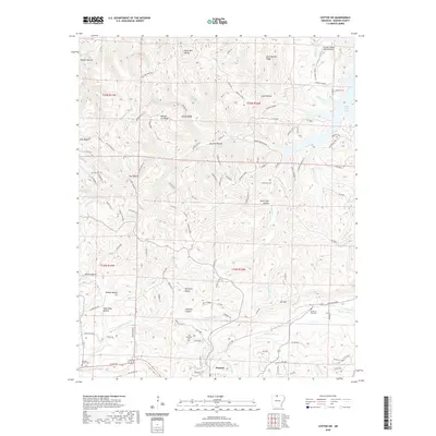
 - 1972 Map of Cotter SW, 1973 Print
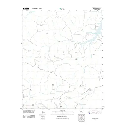
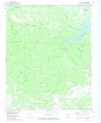 1972 Cotter SW1973 Print · USGSThe settlement of Summit and the irregular shoreline of Bull Shoals Lake define this Marion County landscape during the early 1970s. Genealogists and historians can locate remote landmarks like the Onwata Mine, Mtn View Cem, and Welcome Ridge Ch.2 unique versions available
 - 1979 Map of Cotter SW, 1981 Print
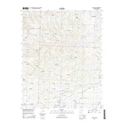
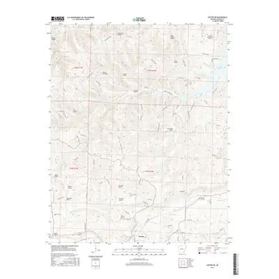
 1979 Cotter SW1981 Print · USGSMarion County land patterns are revealed in the late 1970s as agricultural clearings meet the rising waters of the White River basin. Researchers can trace the sinuous shoreline of Bull Shoals Lake and follow the drainage of Jimmie Creek past the high ground at Summit.
 - 1985 Map of Bull Shoals Lake
 1985 Bull Shoals Lake1985 Print · USGSThe mid-1980s Ozark Plateau is captured here during a era of significant growth around the sprawling shorelines of Bull Shoals Lake and Norfork Lake. Genealogists and historians can trace the rail-and-river economy through Buffalo City and the Missouri Pacific RR line.
 - 1985 Map of Harrison
 1985 Harrison1985 Print · USGSThe Ozark highlands and the White River valley are seen here in the mid-1980s, showcasing a region defined by its massive reservoirs and protected wilderness. You can trace the rugged corridors of the Missouri & North Arkansas RR or locate historic settlements like Eureka Springs and Jasper.
 - 2011 Map of Yellville, 2011 Print
 2011 Yellville2011 Print · USGSCovers Summit, including Yellville, Ralph, and other nearby areas
 - 2011 Map of Cotter SW, 2011 Print
 2011 Cotter SW2011 Print · USGSCovers Summit, including Marion County, United States, and other nearby areas
 - 2014 Map of Yellville, 2014 Print
 2014 Yellville2014 Print · USGSCovers Summit, including Yellville, Ralph, and other nearby areas
 - 2014 Map of Cotter SW, 2014 Print
 2014 Cotter SW2014 Print · USGSCovers Summit, including Marion County, United States, and other nearby areas
 - 2017 Map of Cotter SW, 2017 Print
 2017 Cotter SW2017 Print · USGSCovers Summit, including Marion County, United States, and other nearby areas
 - 2017 Map of Yellville, 2017 Print
 2017 Yellville2017 Print · USGSCovers Summit, including Yellville, Ralph, and other nearby areas
 - 2020 Map of Yellville, 2020 Print
 2020 Yellville2020 Print · USGSCovers Summit, including Yellville, Ralph, and other nearby areas
 - 2020 Map of Cotter SW, 2020 Print
 2020 Cotter SW2020 Print · USGSCovers Summit, including Marion County, United States, and other nearby areas
 - 2024 Map of Yellville, 2024 Print
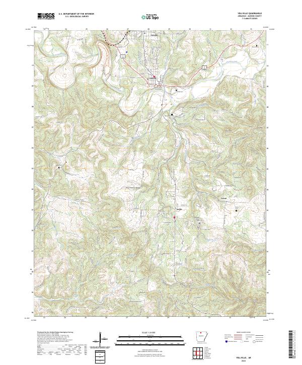 2024 Yellville2024 Print · USGSMarion County at the present day remains defined by the winding path of Crooked Creek and the administrative center at Yellville. Genealogists and historians can trace family roots through several local burial sites, including Cowan Cem, Wood Cem, and Pleasant Ridge Cem.
 - 2024 Map of Cotter SW, 2024 Print
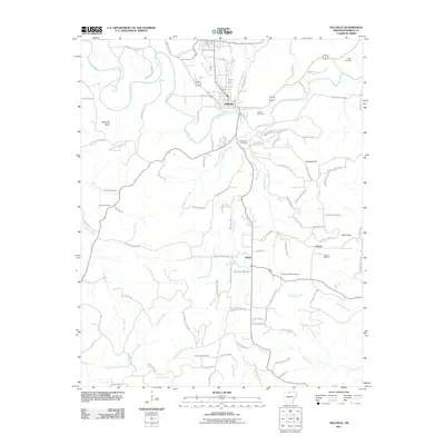
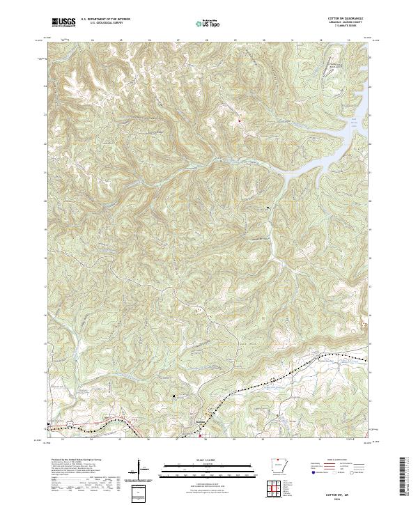 2024 Cotter SW2024 Print · USGSMarion County is seen here in the modern era, showing the rugged topography of the Ozarks where settlements like Summit sit among a landscape of high ridges. Researchers can trace family history through Georges Creek Cem and Lee Mountain Cem or locate the Thunder Ridge Ranch Airport.
End of results
Showing maps 1-24 of 24
Top cities near Summit
- Bull Shoals historical maps
- Gassville historical maps
- Yellville historical maps
- Flippin historical maps
- Cotter historical maps
- Diamond City historical maps
See more
Frequently asked questions
- What are the different types of historical maps available for Summit?
- What is the oldest map of Summit?
- Where can I purchase historical maps of Summit for my home or office?
- Where can I download high-res historical maps of Summit?
- Are there historical topographic maps available for Summit?
- Is there historical aerial imagery available for Summit?
- Where are historical maps of Summit sourced from?