Old Maps of Fouke, Arkansas for Academic Research
Study the evolution of Fouke with 18 high-resolution historic maps. Whether you're teaching, researching, or modeling changes in land use, these maps provide essential visual documentation of urban, environmental, and geographic change.
- Analyze long-term change: Track patterns in development, transportation, and natural features.
- Ideal for environmental or urban studies: Support academic projects with primary historical map data.
- Use in the classroom or lab: Educators and researchers rely on these maps to bring historical context to life.
These maps are a powerful tool for teaching, research, and visualizing how Fouke has changed over the decades.
Fouke, AR maps
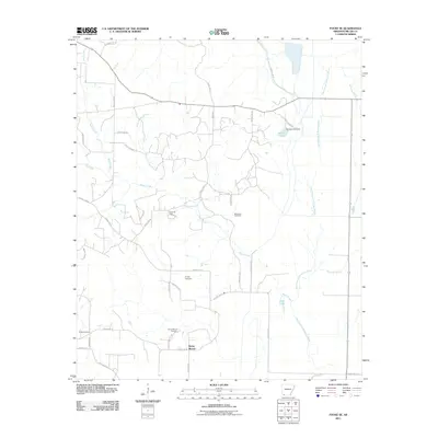
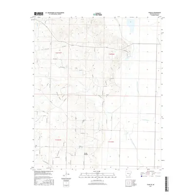
(18)- 1952 Map of Fouke SE, 1953 Print
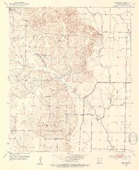 1952 Fouke SE1953 Print · USGSSouthwestern Arkansas in the early fifties shows a landscape of bayous and rural schoolhouse junctions. Genealogists can trace family landmarks like Phylaw Cem, Rocky Mound Ch, and the grounds of Central Sch.4 unique versions available
 - 1952 Map of Fouke, 1953 Print
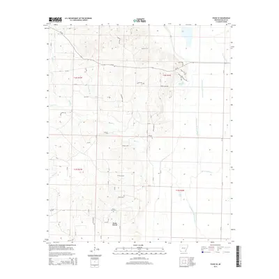
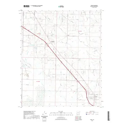
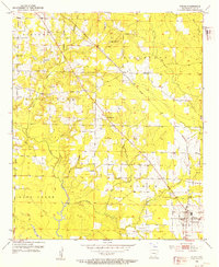 1952 Fouke1953 Print · USGSMiller County's rural landscape is captured here in the early fifties, centered on the Texas and Pacific RR corridor. Genealogists can locate family landmarks like Gibson Cem and old congregation sites including Salem Ch and Boyd Ch.5 unique versions available
 - 1953 Map of El Dorado, 1967 Print
 1953 El Dorado1967 Print · USGSSouth Arkansas in the mid-1960s was a landscape of industrial growth and river-fed commerce. Researchers can trace the extensive Oil and Gas Fields around Magnolia, the expansive U S Naval Ammunition Depot, and the busy rail lines of the Missouri Pacific.3 unique versions available
 - 1957 Map of El Dorado
 1957 El Dorado1957 Print · USGSSouth Arkansas in the mid-1950s was a critical hub of military logistics and rail-river commerce. Genealogists and historians can trace family land across the Arkansas Louisiana border and locate sites like the U.S. Naval Ammunition Depot or the rail junctions at Magnolia and Camden.
 - 1958 Map of El Dorado
 1958 El Dorado1958 Print · USGSSouthern Arkansas and the Louisiana borderlands are shown during a period of heavy rail traffic and defense industry activity. Researchers can trace the legacy of the U. S. Naval Ammunition Depot or locate family roots in Smackover, Huttig, and Nashville.3 unique versions available
 - 1960 Map of El Dorado
 1960 El Dorado1960 Print · USGSSouth Central Arkansas in the late fifties was a hub of energy production and defense industry. Researchers can trace the extensive Oil and Gas Fields around El Dorado or locate family landmarks like Old Park Cem and New Hope Church.
 - 1986 Map of Magnolia
 1986 Magnolia1986 Print · USGSThe Arkansas-Louisiana borderlands in the mid-1980s are defined by the river systems and the reach of the petroleum industry. Genealogists and historians can trace the St Louis Southwestern Railroad through Stamps or locate rural sites like Cleveland Cem and Brightstar.2 unique versions available
 - 1989 Map of El Dorado, 1990 Print
 1989 El Dorado1990 Print · USGSThe Arkansas-Louisiana borderlands in the late eighties show a landscape of heavy industry and wildlife conservation centered on the Ouachita River. Researchers can trace the legacy of timber and transport via the Missouri Pacific RR, Poison Springs State Forest, and the vast Felsenthal Pool.
 - 2011 Map of Fouke, 2011 Print
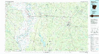
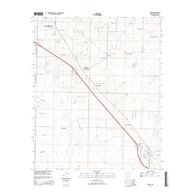
 2011 Fouke2011 Print · USGSCovers Fouke, including Texarkana, Ferguson Crossroads, and other nearby areas
 - 2011 Map of Fouke SE, 2011 Print
 2011 Fouke SE2011 Print · USGSCovers Fouke, including Rocky Mound, Miller County, and other nearby areas
 - 2014 Map of Fouke SE, 2014 Print
 2014 Fouke SE2014 Print · USGSCovers Fouke, including Rocky Mound, Miller County, and other nearby areas
 - 2014 Map of Fouke, 2014 Print
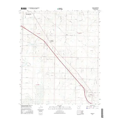
 2014 Fouke2014 Print · USGSCovers Fouke, including Texarkana, Ferguson Crossroads, and other nearby areas
 - 2017 Map of Fouke, 2017 Print
 2017 Fouke2017 Print · USGSCovers Fouke, including Texarkana, Ferguson Crossroads, and other nearby areas
 - 2017 Map of Fouke SE, 2017 Print
 2017 Fouke SE2017 Print · USGSCovers Fouke, including Rocky Mound, Miller County, and other nearby areas
 - 2020 Map of Fouke, 2020 Print
 2020 Fouke2020 Print · USGSCovers Fouke, including Texarkana, Ferguson Crossroads, and other nearby areas
 - 2020 Map of Fouke SE, 2020 Print
 2020 Fouke SE2020 Print · USGSCovers Fouke, including Rocky Mound, Miller County, and other nearby areas
 - 2024 Map of Fouke SE, 2024 Print
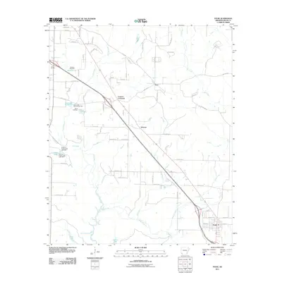
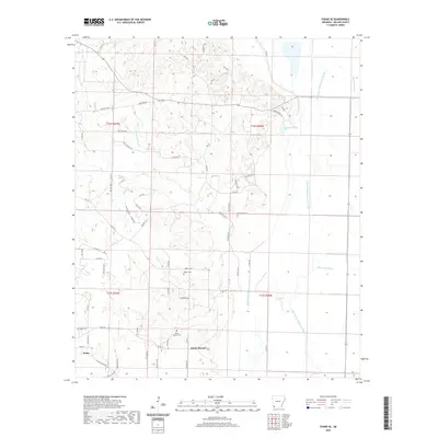
 2024 Fouke SE2024 Print · USGSMiller County's alluvial plains and low hills come into focus in this contemporary survey of the area southeast of Fouke. Genealogists can trace family heritage across numerous local sites including Macedonia Cem, Rocky Mound, and Genoa.
 - 2024 Map of Fouke, 2024 Print
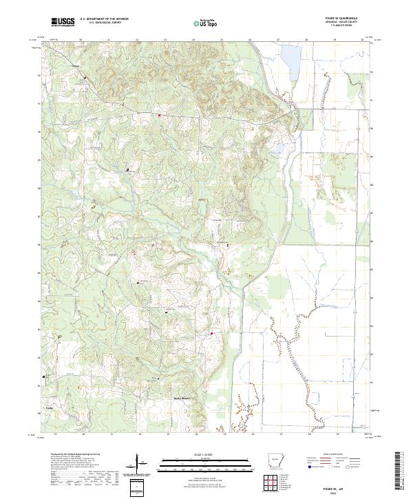
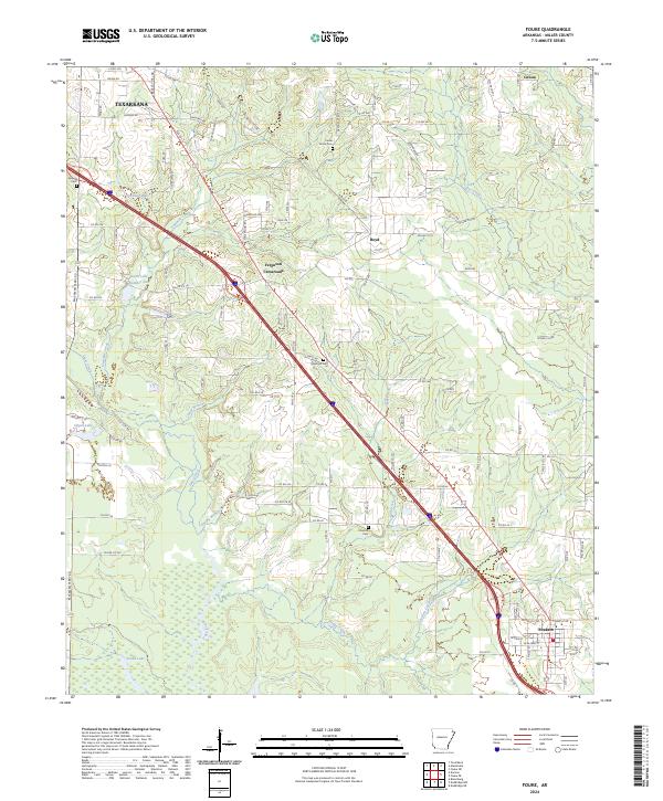 2024 Fouke2024 Print · USGSThe lowland terrain south of Texarkana is captured here in the contemporary era as modern highways intersect the creek-fed bottomlands. Genealogists can trace family footprints at Sylverino Cem and Concord Cem or explore the growth of Fouke.
End of results
Showing maps 1-18 of 18
Top cities near Fouke
- Texarkana historical maps
- Texarkana historical maps
- Wake Village historical maps
- Nash historical maps
- Bradley historical maps
- Bloomburg historical maps
See more
Frequently asked questions
- What are the different types of historical maps available for Fouke?
- What is the oldest map of Fouke?
- Where can I purchase historical maps of Fouke for my home or office?
- Where can I download high-res historical maps of Fouke?
- Are there historical topographic maps available for Fouke?
- Is there historical aerial imagery available for Fouke?
- Where are historical maps of Fouke sourced from?