
1952 Map of Fouke SE
USGS Topo · Published 1953About this map
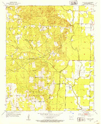
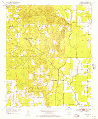
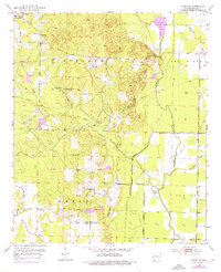
McKinney Bayou and its winding tributaries define the landscape of this Miller County region in the early 1950s. The area is characterized by a network of rural community hubs, such as Central Sch and its neighboring Central Ch in the northwest, and Macedonia Ch further south. The map documents an economy rooted in both the land and its resources, showing numerous Gravel Pits and Oil Wells scattered across the Cleveland and Beech districts.
Find a feature on this map
28 named features on this map. Tap any name to fly to it.
Don’t see what you’re looking for? This feature index may not catch every label — zoom into the map to look around manually.
Map Details
Editions of this 1952 Fouke SE Map
4 editions found
Other maps of this area

1952 · Mandeville
USGS Topo · 1:24,000

1952 · Garland
USGS Topo · 1:24,000

1952 · Doddridge NW
USGS Topo · 1:24,000

1952 · Doddridge NE
USGS Topo · 1:24,000

1952 · Fouke
USGS Topo · 1:24,000

1952 · Canfield
USGS Topo · 1:24,000

1952 · Fouke NE
USGS Topo · 1:24,000

1952 · Boyd Hill
USGS Topo · 1:24,000

1953 · El Dorado
USGS Topo · 1:250,000

1957 · El Dorado
USGS Topo · 1:250,000