
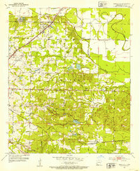
1952 Map of Mandeville
USGS Topo · Published 1953About this map
The Missouri Pacific and St Louis Southwestern railroads define the transportation corridors of Miller County, Arkansas, in the early 1950s. The landscape is a network of small settlements and rural landmarks, including the communities of Mandeville, Rondo, and Genoa. The northern portion of the map is dominated by the Texarkana Municipal Airport, while the surrounding countryside is dotted with local heritage sites such as Harrison Chapel Cem, Macedonia Ch, and the Ywca Camp Forky. Notable water features like Coca Cola Lake, Homan Bayou, and McKinney Bayou drain the undulating terrain. This survey provides a look at the mid-century intersection of regional aviation, agriculture, and rail transport, capturing the location of numerous family cemeteries including Polk Cem and Mt Oba Cem.
Find a feature on this map
44 named features on this map. Tap any name to fly to it.
Don’t see what you’re looking for? This feature index may not catch every label — zoom into the map to look around manually.
Map Details
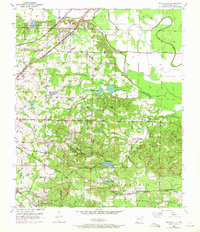
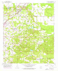
Editions of this 1952 Mandeville Map
4 editions found
Other maps of this area

1909 · Texarkana
USGS Topo · 1:62,500

1950 · Ogden
USGS Topo · 1:24,000

1951 · Ogden
USGS Topo · 1:24,000

1951 · Homan
USGS Topo · 1:24,000

1951 · Fulton
USGS Topo · 1:24,000

1952 · Fouke SE
USGS Topo · 1:24,000

1952 · Fouke
USGS Topo · 1:24,000

1952 · Fouke NE
USGS Topo · 1:24,000

1953 · Texarkana
USGS Topo · 1:250,000

1953 · El Dorado
USGS Topo · 1:250,000