
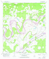
1951 Map of Homan
USGS Topo · Published 1952About this map
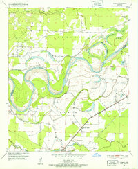
The Red River meanders through this portion of Miller and Little River counties, defining a landscape of oxbow lakes and alluvial bottomlands at the start of the 1950s. The serpentine river course is flanked by numerous water bodies including Old River Lake, Bear Lake, and Cut-off Lake, evidence of the river's historical shifts before modern levee systems were fully established. Human activity is clustered near the Missouri Pacific railroad line, which anchors the settlements of Homan and Clear Lake Junction. Local genealogy is well-preserved through landmarks like Paup Cem, while the spiritual life of the community is anchored by Lone Star Ch and Swan Lake Ch. In the northern portion of the map, the Bois d'Arc Bayou and Gillespie Ditch reveal the extensive efforts to manage the wet, low-lying terrain for agriculture and habitation.
Find a feature on this map
31 named features on this map. Tap any name to fly to it.
Don’t see what you’re looking for? This feature index may not catch every label — zoom into the map to look around manually.
Map Details
Editions of this 1951 Homan Map
6 editions found
Other maps of this area

1909 · Texarkana
USGS Topo · 1:62,500

1950 · Ashdown East
USGS Topo · 1:24,000

1950 · Ogden
USGS Topo · 1:24,000

1950 · Red Bluff
USGS Topo · 1:24,000

1951 · Ogden
USGS Topo · 1:24,000

1951 · Red Bluff
USGS Topo · 1:24,000

1951 · Ashdown East
USGS Topo · 1:24,000

1951 · Fulton
USGS Topo · 1:24,000

1951 · Mc Nab
USGS Topo · 1:24,000

1952 · Mandeville
USGS Topo · 1:24,000