
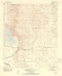
1951 Map of Mc Nab
USGS Topo · Published 1952About this map
Mc Nab serves as a central hub for this rural Hempstead County landscape during the early 1950s, situated where the St Louis San Francisco railroad cuts through the terrain. The community structure is defined by its numerous hilltop congregations, including Yellow Creek Ch, Gravel Hill Ch, and Church Hill Ch, suggesting a settlement pattern rooted in small, local parishes. Educational and social life is anchored by the Douglas Sch and the Hempstead County Hunting Club, the latter located near the marshy expanse of Grassy Lake.
Find a feature on this map
28 named features on this map. Tap any name to fly to it.
Don’t see what you’re looking for? This feature index may not catch every label — zoom into the map to look around manually.
Map Details
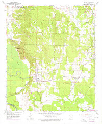
Editions of this 1951 Mc Nab Map
3 editions found
Other maps of this area

1950 · Red Bluff
USGS Topo · 1:24,000

1951 · Red Bluff
USGS Topo · 1:24,000

1951 · Homan
USGS Topo · 1:24,000

1951 · Mineral Springs South
USGS Topo · 1:24,000

1951 · Fulton
USGS Topo · 1:24,000

1951 · Columbus
USGS Topo · 1:24,000

1951 · Sheppard
USGS Topo · 1:24,000

1951 · Spring Hill
USGS Topo · 1:24,000

1951 · Washington
USGS Topo · 1:24,000

1953 · El Dorado
USGS Topo · 1:250,000