
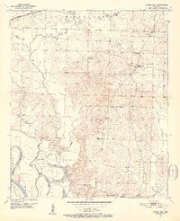
1951 Map of Spring Hill
USGS Topo · Published 1952About this map
Spring Hill serves as a central hub for this early 1950s topographic study, surrounded by a dense network of rural churches and family burial grounds including Sullivan Cem and Bethany Cem. The landscape is defined by the winding course of Bois d'Arc Creek and the dynamic hydrology of the Red River valley, evidenced by the 1940 Cut-off Lake and the 1918 Cut-off Lake near the border of Miller and Hempstead Counties. To the north, the Missouri Pacific railroad corridor cuts across the terrain, while the interior is marked by the site of a Battlefield and several rural educational landmarks. These include the Williams Chapel Sch and the Stevenson Sch (Abandoned), offering a specific look at the transition of local school systems during the mid-century period.
Find a feature on this map
31 named features on this map. Tap any name to fly to it.
Don’t see what you’re looking for? This feature index may not catch every label — zoom into the map to look around manually.
Map Details
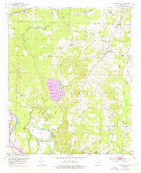
Editions of this 1951 Spring Hill Map
3 editions found
Other maps of this area

1951 · Patmos
USGS Topo · 1:24,000

1951 · Fulton
USGS Topo · 1:24,000

1951 · Sheppard
USGS Topo · 1:24,000

1951 · Hope
USGS Topo · 1:24,000

1951 · Mc Nab
USGS Topo · 1:24,000

1952 · Old Town
USGS Topo · 1:24,000

1952 · Fouke NE
USGS Topo · 1:24,000

1952 · Boyd Hill
USGS Topo · 1:24,000

1953 · El Dorado
USGS Topo · 1:250,000

1957 · El Dorado
USGS Topo · 1:250,000