
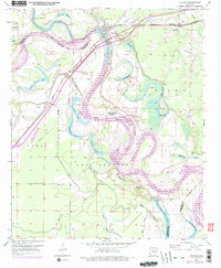
1951 Map of Fulton
USGS Topo · Published 1952About this map
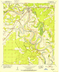
Fulton sits at a strategic bend where the Missouri Pacific railroad crosses the Red River, serving as a focal point for this Southwest Arkansas river landscape in the early 1950s. The river's serpentine path is marked by numerous oxbows and sloughs, including Adams Cut-off Lake and Buzzard Bluff Lake, illustrating the complex hydrology of the Lost Prairie region. This survey captures the transition from river-based transport to rail and road, evidenced by the location of Old Allens Ferry upstream from the rail bridge.
Find a feature on this map
42 named features on this map. Tap any name to fly to it.
Don’t see what you’re looking for? This feature index may not catch every label — zoom into the map to look around manually.
Map Details
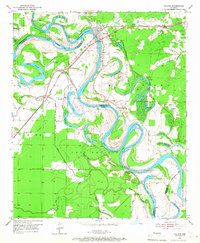
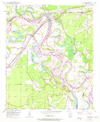
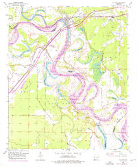
Editions of this 1951 Fulton Map
6 editions found
Other maps of this area

1950 · Red Bluff
USGS Topo · 1:24,000

1951 · Red Bluff
USGS Topo · 1:24,000

1951 · Homan
USGS Topo · 1:24,000

1951 · Sheppard
USGS Topo · 1:24,000

1951 · Spring Hill
USGS Topo · 1:24,000

1951 · Mc Nab
USGS Topo · 1:24,000

1952 · Mandeville
USGS Topo · 1:24,000

1952 · Fouke NE
USGS Topo · 1:24,000

1952 · Boyd Hill
USGS Topo · 1:24,000

1953 · El Dorado
USGS Topo · 1:250,000