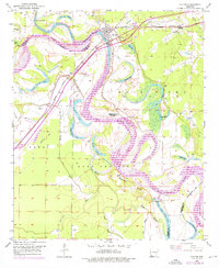
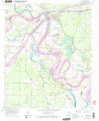
1951 Map of Fulton
USGS Topo · Published 1976About this map
The Red River creates a labyrinthine boundary between Hempstead and Miller Counties, winding through oxbow lakes and bottomlands south of Fulton. This 1951 survey, updated through the mid-1970s, documents a landscape shaped by water and transport, where the Missouri Pacific railroad crosses the river near the historic site of Old Allens Ferry. The river's shifting course has left behind numerous named water bodies such as Adams Cut-off Lake, Vaughn Lake, and Scott Lake, which defined the local geography of the Lost Prairie and Bois d'Arc regions. Smaller settlements and rural centers are visible, including the stop at Sprudel and Clipper, alongside community landmarks like Galilee Ch, Charity Ch, and the Red Hill Cem. The presence of extensive levee systems and the Gaging Station near the main bridge highlight the ongoing efforts to manage the river's influence on the surrounding farmland.
Find a feature on this map
45 named features on this map. Tap any name to fly to it.
Don’t see what you’re looking for? This feature index may not catch every label — zoom into the map to look around manually.
Map Details
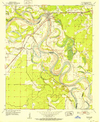
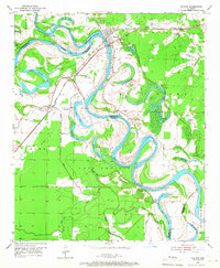
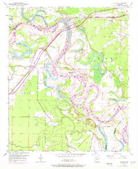
Editions of this 1951 Fulton Map
6 editions found
Other maps of this area

1950 · Red Bluff
USGS Topo · 1:24,000

1951 · Red Bluff
USGS Topo · 1:24,000

1951 · Homan
USGS Topo · 1:24,000

1951 · Fulton
USGS Topo · 1:24,000

1951 · Sheppard
USGS Topo · 1:24,000

1951 · Spring Hill
USGS Topo · 1:24,000

1951 · Mc Nab
USGS Topo · 1:24,000

1952 · Mandeville
USGS Topo · 1:24,000

1952 · Fouke NE
USGS Topo · 1:24,000

1952 · Boyd Hill
USGS Topo · 1:24,000