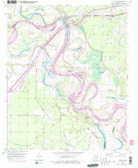
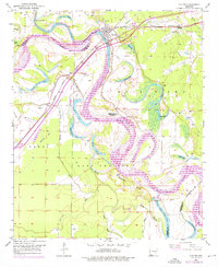
1951 Map of Fulton
USGS Topo · Published 1976About this map
Fulton stands at a critical crossing where the Missouri Pacific railroad spans the Red River, a landscape defined by the shifting hydrology of oxbow lakes and sediment deposits. The map captures a complex river system featuring Adams Cut-off Lake and the aptly named Lost Prairie, illustrating how the river's meandering path has shaped local boundaries between Hempstead, Miller, and Little River Counties. To the north, Old Allens Ferry and Sprudel mark earlier centers of activity along the water.
Find a feature on this map
40 named features on this map. Tap any name to fly to it.
Don’t see what you’re looking for? This feature index may not catch every label — zoom into the map to look around manually.
Map Details
Editions of this 1951 Fulton Map
6 editions found
Other maps of this area

1950 · Red Bluff
USGS Topo · 1:24,000

1951 · Red Bluff
USGS Topo · 1:24,000

1951 · Homan
USGS Topo · 1:24,000

1951 · Fulton
USGS Topo · 1:24,000

1951 · Sheppard
USGS Topo · 1:24,000

1951 · Spring Hill
USGS Topo · 1:24,000

1951 · Mc Nab
USGS Topo · 1:24,000

1952 · Mandeville
USGS Topo · 1:24,000

1952 · Fouke NE
USGS Topo · 1:24,000

1952 · Boyd Hill
USGS Topo · 1:24,000