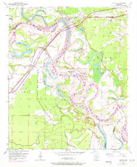
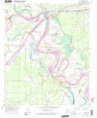
1951 Map of Fulton
USGS Topo · Published 1971About this map
Fulton stands at a strategic bend where the Missouri Pacific railroad crosses the Red River, serving as a focal point for this Southwest Arkansas riverine landscape. The map reveals an intricate network of oxbow lakes and abandoned channels, such as Adams Cut-off Lake and Old River Lake, which illustrate the river's historical shifts across the Lost Prairie and Bois d'Arc bottomlands. The presence of Old Allens Ferry and the Gaging Station near the main channel underscores the long-standing importance of river management and transport in this region.
Find a feature on this map
41 named features on this map. Tap any name to fly to it.
Don’t see what you’re looking for? This feature index may not catch every label — zoom into the map to look around manually.
Map Details
Editions of this 1951 Fulton Map
6 editions found
Other maps of this area

1950 · Red Bluff
USGS Topo · 1:24,000

1951 · Red Bluff
USGS Topo · 1:24,000

1951 · Homan
USGS Topo · 1:24,000

1951 · Fulton
USGS Topo · 1:24,000

1951 · Sheppard
USGS Topo · 1:24,000

1951 · Spring Hill
USGS Topo · 1:24,000

1951 · Mc Nab
USGS Topo · 1:24,000

1952 · Mandeville
USGS Topo · 1:24,000

1952 · Fouke NE
USGS Topo · 1:24,000

1952 · Boyd Hill
USGS Topo · 1:24,000