
1951 Map of Hope
USGS Topo · Published 1952About this map
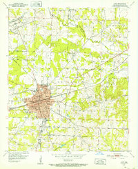
Hope serves as a major regional hub in the early 1950s, defined by its complex grid of railroad lines including the Missouri Pacific, St Louis San Francisco, and Kansas City Southern. The map reveals a deeply organized community with institutions like the Chester Hospital, City Hall, and numerous neighborhood schools such as Rosewald Sch and Yerger High Sch. To the north, the University of Arkansas Experiment Station indicates the area's ongoing connection to agricultural research and development.
Find a feature on this map
42 named features on this map. Tap any name to fly to it.
Don’t see what you’re looking for? This feature index may not catch every label — zoom into the map to look around manually.
Map Details
Editions of this 1951 Hope Map
4 editions found
Other maps of this area

1901 · Gurdon
USGS Topo · 1:125,000

1951 · Blevins
USGS Topo · 1:24,000

1951 · Patmos
USGS Topo · 1:24,000

1951 · Sheppard
USGS Topo · 1:24,000

1951 · Spring Hill
USGS Topo · 1:24,000

1951 · Washington
USGS Topo · 1:24,000

1953 · El Dorado
USGS Topo · 1:250,000

1957 · El Dorado
USGS Topo · 1:250,000

1958 · El Dorado
USGS Topo · 1:250,000

1960 · El Dorado
USGS Topo · 1:250,000