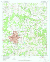
1951 Map of Hope
USGS Topo · Published 1973About this map
The railroad junction at Hope serves as the central hub for this mid-century survey of Hempstead County, where the Missouri Pacific, St Louis San Francisco, and Kansas City Southern lines all converge. This concentrated rail network shaped the city's development, evidenced by the dense grid of civic institutions including City Hall, the Courthouse, and Chester Hospital. Beyond the city limits, the landscape transitions into a mosaic of rural settlements and agricultural research at the University of Arkansas Experiment Station.
Find a feature on this map
43 named features on this map. Tap any name to fly to it.
Don’t see what you’re looking for? This feature index may not catch every label — zoom into the map to look around manually.
Map Details
Editions of this 1951 Hope Map
4 editions found
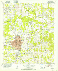
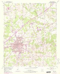
Other maps of this area

1901 · Gurdon
USGS Topo · 1:125,000

1951 · Blevins
USGS Topo · 1:24,000

1951 · Patmos
USGS Topo · 1:24,000

1951 · Sheppard
USGS Topo · 1:24,000

1951 · Spring Hill
USGS Topo · 1:24,000

1951 · Washington
USGS Topo · 1:24,000

1951 · Hope
USGS Topo · 1:24,000

1953 · El Dorado
USGS Topo · 1:250,000

1957 · El Dorado
USGS Topo · 1:250,000

1958 · El Dorado
USGS Topo · 1:250,000