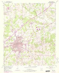
1951 Map of Hope
USGS Topo · Published 1978About this map
Hope serves as the central hub of this 1950s Arkansas landscape, defined by a dense concentration of civic institutions and a intersection of the Missouri Pacific and San Francisco railroads. The town's social fabric is visible through its segregated educational and community landmarks, including Rosewald Sch, Yerger High Sch, and Chester Hospital. Outside the main town limits, the University of Arkansas Experiment Station occupies a significant tract of land, signaling the region's agricultural importance.
Find a feature on this map
41 named features on this map. Tap any name to fly to it.
Don’t see what you’re looking for? This feature index may not catch every label — zoom into the map to look around manually.
Map Details
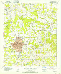
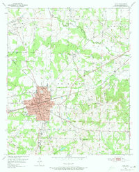
Editions of this 1951 Hope Map
4 editions found
Other maps of this area

1901 · Gurdon
USGS Topo · 1:125,000

1951 · Blevins
USGS Topo · 1:24,000

1951 · Patmos
USGS Topo · 1:24,000

1951 · Sheppard
USGS Topo · 1:24,000

1951 · Spring Hill
USGS Topo · 1:24,000

1951 · Washington
USGS Topo · 1:24,000

1951 · Hope
USGS Topo · 1:24,000

1953 · El Dorado
USGS Topo · 1:250,000

1957 · El Dorado
USGS Topo · 1:250,000

1958 · El Dorado
USGS Topo · 1:250,000