
1952 Map of Old Town
USGS Topo · Published 1953About this map
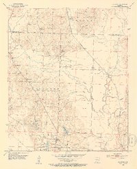
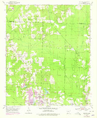
Old Town and the surrounding Lafayette County landscape are defined by a network of rural settlements and industry in the early 1950s. The area is intersected by the Kansas City Southern and a dedicated Mining Railroad, reflecting the region's reliance on extractive industries, further evidenced by an active Oil Field and numerous gravel pits. The winding courses of Little Bodcau Creek and Big Bodcau Creek carve through the terrain, creating a complex drainage system that includes New Meriwether Pond and Barmes Pond.
Find a feature on this map
36 named features on this map. Tap any name to fly to it.
Don’t see what you’re looking for? This feature index may not catch every label — zoom into the map to look around manually.
Map Details
Editions of this 1952 Old Town Map
3 editions found
Other maps of this area

1901 · Gurdon
USGS Topo · 1:125,000

1951 · Patmos
USGS Topo · 1:24,000

1951 · Spring Hill
USGS Topo · 1:24,000

1952 · Garland
USGS Topo · 1:24,000

1952 · Lewisville
USGS Topo · 1:24,000

1952 · Boyd Hill
USGS Topo · 1:24,000

1953 · El Dorado
USGS Topo · 1:250,000

1957 · El Dorado
USGS Topo · 1:250,000

1958 · El Dorado
USGS Topo · 1:250,000

1960 · El Dorado
USGS Topo · 1:250,000