Old Maps of Lafayette County, Arkansas
Explore 96 old maps of Lafayette County, spanning from 1952 to today. These high-resolution historic maps reveal how streets, neighborhoods, landmarks, and natural features evolved over time — perfect for genealogy, metal detecting, research, and local history exploration.
What you can do with these maps:
- See how Lafayette County changed over time: Compare historical maps to modern-day views to trace roads, homesites, rail lines & more.
- View detailed metadata: Each map includes creators, publishers, year, scale, and archive source.
- Overlay maps with satellite & LiDAR: Visualize the past alongside modern tools to explore terrain & human change.
- Trusted historical sources: Maps sourced from the USGS, Library of Congress, and other archives.
- Access maps your way: View online, download high-res files, or order prints for personal or research use.
Start exploring old maps of Lafayette County to uncover forgotten places, hidden landmarks, and the deep history beneath your feet.
Lafayette County, AR maps
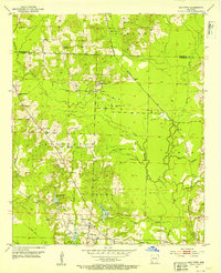
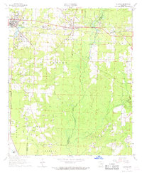
(96)- 1952 Map of Doddridge SE, 1953 Print
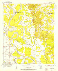
 1952 Doddridge SE1953 Print · USGSThe Red River borderlands of Arkansas and Louisiana are captured here in the early fifties, showing a landscape defined by oxbow lakes and river crossings. Genealogists can locate family landmarks like Blanton Cem, Kiblah Sch, and active river transit points at Spring Bank Ferry.4 unique versions available
 - 1952 Map of Bradley, 1953 Print
 1952 Bradley1953 Print · USGSThe Arkansas-Louisiana borderlands come into focus in this early 1950s survey of the Bradley area. Researchers can trace rural life through landmarks like Bunham Sch, Gin City, and Chalybeate Springs Ch along the rail lines.6 unique versions available
 - 1952 Map of Garland, 1953 Print
 1952 Garland1953 Print · USGSIn the early fifties, the Red River floodplain near the Miller and Lafayette county line remained a landscape of oxbow lakes and rail-dependent river towns. Genealogists and historians can locate rural landmarks like Old Gum Point Ch, the Mays Cem, and the Garland City Sta along the St Louis Southwestern line.4 unique versions available
 - 1952 Map of Bradley NE, 1953 Print
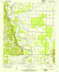
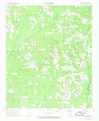
 1952 Bradley NE1953 Print · USGSLafayette County was a landscape of oil exploration and managed wilderness during the early fifties. Genealogists and researchers can trace local families through landmarks like Heirs, rural churches such as St Jonah Ch, and the extensive State Game Refuge.4 unique versions available
 - 1952 Map of Old Town, 1953 Print
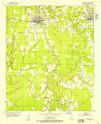
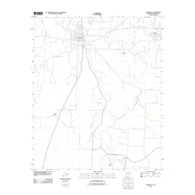
 1952 Old Town1953 Print · USGSLafayette County was a hub of rail and resource extraction in the early fifties, with the landscape transitioning between timber, gravel, and oil. Researchers can trace family sites at Old Lewisville Cem, locate the Mining Railroad, or find the community centers at Midway Ch and Dobson Station.3 unique versions available
 - 1952 Map of Doddridge NE, 1953 Print
 1952 Doddridge NE1953 Print · USGSThe Red River valley at the start of the 1950s shows a landscape of winding oxbows and riverfront settlements in Miller County. Researchers can trace rural church locations like Independence Ch and Red River Ch or the river-bend geography of Slay Bend.5 unique versions available
 - 1952 Map of Canfield, 1953 Print
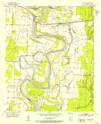
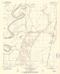 1952 Canfield1953 Print · USGSLafayette County and Miller County were still defined by the shifting oxbows of the Red River in the early fifties. Genealogists and historians can trace the riverside community around Canfield, the Union Hill Cem, and the rail siding at Burton Mill.4 unique versions available
 - 1952 Map of Lewisville, 1953 Print
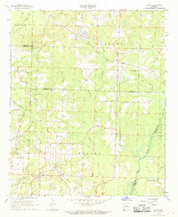
 1952 Lewisville1953 Print · USGSLafayette County was a bustling corridor of rail and oil production in the early fifties, centered on the junction at Lewisville. Genealogists and historians can trace local landmarks like Mars Hill Cem, Kress City, and the rural Hickory Grove Ch.5 unique versions available
 - 1952 Map of Boyd Hill, 1953 Print
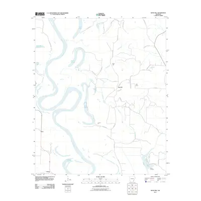
 1952 Boyd Hill1953 Print · USGSLafayette and Miller counties meet along the winding Red River in the early fifties, showing a landscape defined by seasonal floodwaters and rural industry. Genealogists can locate family landmarks like Boyd Hill Cem, Galilee Ch, and the stop at Mayton on the St Louis Southwestern line.4 unique versions available
 - 1952 Map of Bradley SE, 1953 Print
 1952 Bradley SE1953 Print · USGSThe Arkansas-Louisiana borderlands in the early fifties were a mosaic of game refuges and rising oil exploration. Researchers can trace rural landmarks like Walker Creek Sch, State Line Ch, and several Oil Wells along Bodcau Creek.6 unique versions available
 - 1953 Map of El Dorado, 1967 Print
 1953 El Dorado1967 Print · USGSSouth Arkansas in the mid-1960s was a landscape of industrial growth and river-fed commerce. Researchers can trace the extensive Oil and Gas Fields around Magnolia, the expansive U S Naval Ammunition Depot, and the busy rail lines of the Missouri Pacific.3 unique versions available
 - 1957 Map of El Dorado
 1957 El Dorado1957 Print · USGSSouth Arkansas in the mid-1950s was a critical hub of military logistics and rail-river commerce. Genealogists and historians can trace family land across the Arkansas Louisiana border and locate sites like the U.S. Naval Ammunition Depot or the rail junctions at Magnolia and Camden.
 - 1958 Map of El Dorado
 1958 El Dorado1958 Print · USGSSouthern Arkansas and the Louisiana borderlands are shown during a period of heavy rail traffic and defense industry activity. Researchers can trace the legacy of the U. S. Naval Ammunition Depot or locate family roots in Smackover, Huttig, and Nashville.3 unique versions available
 - 1960 Map of El Dorado
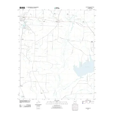
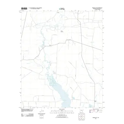
 1960 El Dorado1960 Print · USGSSouth Central Arkansas in the late fifties was a hub of energy production and defense industry. Researchers can trace the extensive Oil and Gas Fields around El Dorado or locate family landmarks like Old Park Cem and New Hope Church.
 - 1960 Map of Bussey, 1961 Print
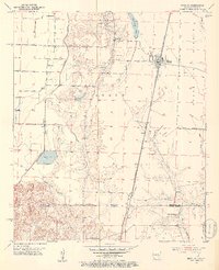
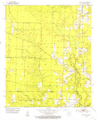
 1960 Bussey1961 Print · USGSSouthwest Arkansas at the start of the sixties reveals a landscape of rural townships and oil production. Genealogists and historians can trace the foundations of local communities at Bussey and Sharman, alongside the Woodard Sch and the Kansas City Southern line.3 unique versions available
 - 1960 Map of Taylor, 1961 Print
 1960 Taylor1961 Print · USGSThe Arkansas-Louisiana state line comes alive in the early sixties, showing the industrial heart of the Springhill Oil Field and Taylor. Trace the family-named landmarks of the day, from the Kansas City Southern rail line to Salem Grace Ch and Browning Sch.2 unique versions available
 - 1968 Map of Buckner, 1969 Print
 1968 Buckner1969 Print · USGSLafayette and Columbia counties in the late sixties were defined by the steady pulse of rail traffic and the extraction of local resources. Genealogists and historians can trace the foundations of these communities through sites like Buckner Cemetery, Oak Grove Church, and the St Louis Southwestern railroad.
 - 1968 Map of Lamartine, 1969 Print
 1968 Lamartine1969 Print · USGSColumbia and Nevada County rural life is captured here in the late sixties as the local oil industry operated alongside quiet crossroads. Genealogists can trace family landmarks and early settlements like Lamartine, Bethel, and the Willisville Oil Field.2 unique versions available
 - 1968 Map of Falcon, 1969 Print
 1968 Falcon1969 Print · USGSSouthwest Arkansas in the late sixties reveals a landscape where timber and agriculture met the energy boom. Genealogists and historians can trace community roots through Clevet Springs Ch, the Shiloh Lookout Tower, and the Falcon Cem.
 - 1986 Map of Magnolia
 1986 Magnolia1986 Print · USGSThe Arkansas-Louisiana borderlands in the mid-1980s are defined by the river systems and the reach of the petroleum industry. Genealogists and historians can trace the St Louis Southwestern Railroad through Stamps or locate rural sites like Cleveland Cem and Brightstar.2 unique versions available
 - 1989 Map of El Dorado, 1990 Print
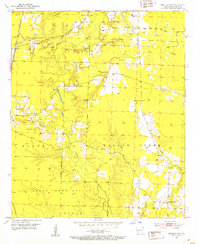
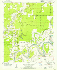
 1989 El Dorado1990 Print · USGSThe Arkansas-Louisiana borderlands in the late eighties show a landscape of heavy industry and wildlife conservation centered on the Ouachita River. Researchers can trace the legacy of timber and transport via the Missouri Pacific RR, Poison Springs State Forest, and the vast Felsenthal Pool.
 - 2011 Map of Boyd Hill, 2011 Print
 2011 Boyd Hill2011 Print · USGSCovers Lafayette County, including Beck, Boyd Hill, and other nearby areas
 - 2011 Map of Lewisville, 2011 Print
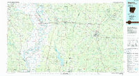
 2011 Lewisville2011 Print · USGSCovers Lafayette County, including Stamps, Lewisville, and other nearby areas
 - 2011 Map of Buckner, 2011 Print
 2011 Buckner2011 Print · USGSCovers Lafayette County, including Stamps, Buckner, and other nearby areas
 - 2011 Map of Bradley NE, 2011 Print
 2011 Bradley NE2011 Print · USGSCovers Lafayette County, including Forest Grove, United States, and other nearby areas
Showing maps 1-25 of 96
Top cities of Lafayette County
Frequently asked questions
- What are the different types of historical maps available for Lafayette County?
- What is the oldest map of Lafayette County?
- Where can I purchase historical maps of Lafayette County for my home or office?
- Where can I download high-res historical maps of Lafayette County?
- Are there historical topographic maps available for Lafayette County?
- Is there historical aerial imagery available for Lafayette County?
- Where are historical maps of Lafayette County sourced from?