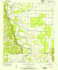
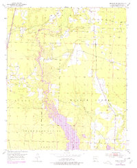
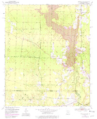
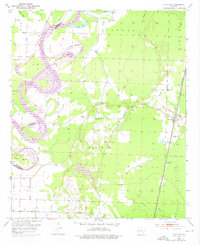
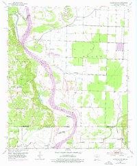
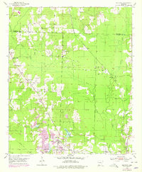
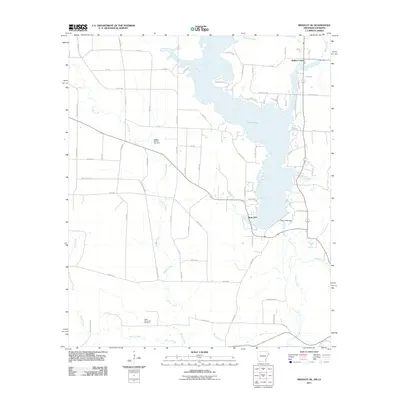
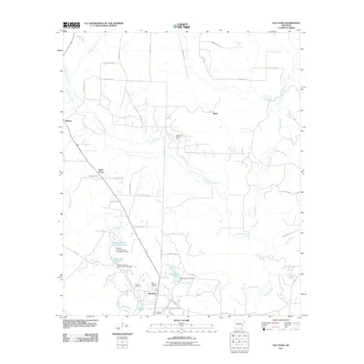
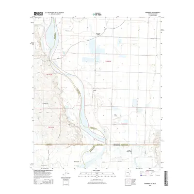
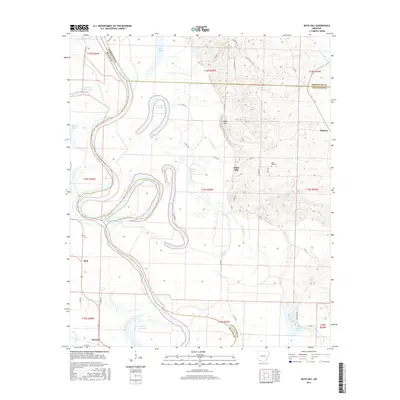
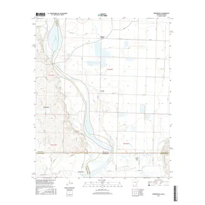
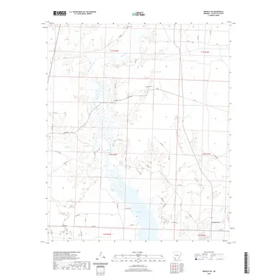
1952 Map of Doddridge SE
USGS Topo · Published 1953About this map
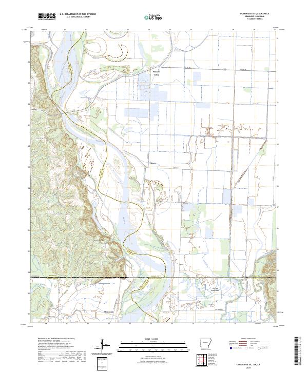
The Red River carves a winding path through the borderlands of Arkansas and Louisiana in the early 1950s, defining a landscape shaped by oxbow lakes and alluvial plains. This survey documents a rural riverine economy still reliant on traditional crossings, notably at Spring Bank Ferry and Missionary Ferry. The terrain is a complex network of bayous and former river channels, including Old Channel McKinney Bayou, Stillhouse Bayou, and the crescent-shaped Palmer Lake.
Find a feature on this map
39 named features on this map. Tap any name to fly to it.
Don’t see what you’re looking for? This feature index may not catch every label — zoom into the map to look around manually.
Map Details
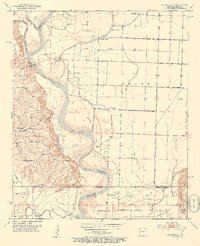
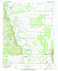
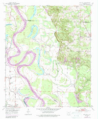
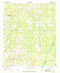
Editions of this 1952 Doddridge SE Map
4 editions found
Historical Maps of Smithville Through Time
42 maps found
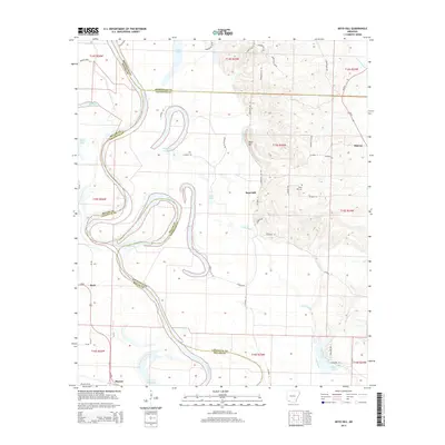
1952 Boyd Hill
Lafayette County, AR
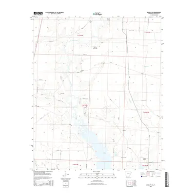
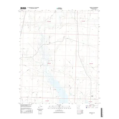
1952 Bradley NE
Lafayette County, AR
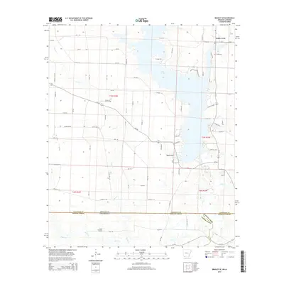
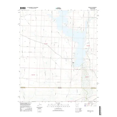
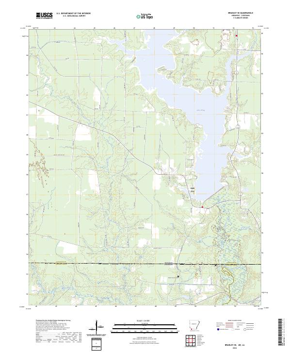
1952 Bradley SE
Lafayette County, AR
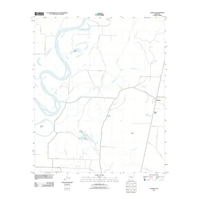
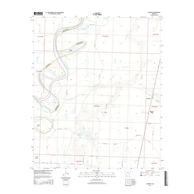
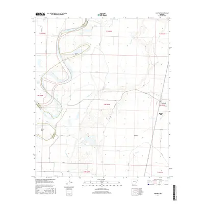
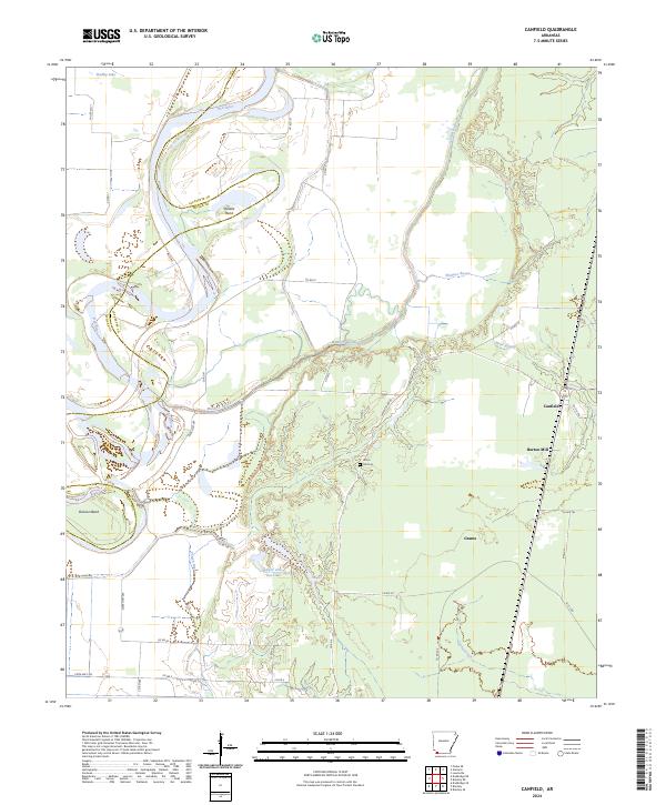
1952 Canfield
Lafayette County, AR
1952 Doddridge SE
Lafayette County, AR
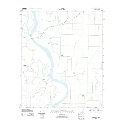
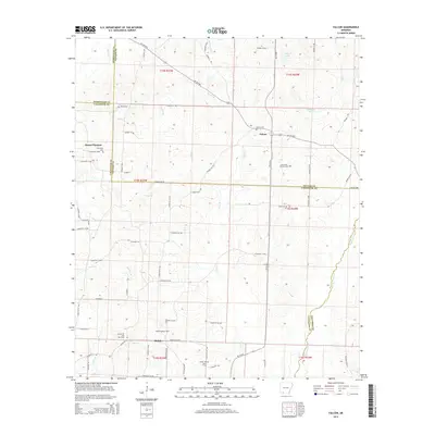
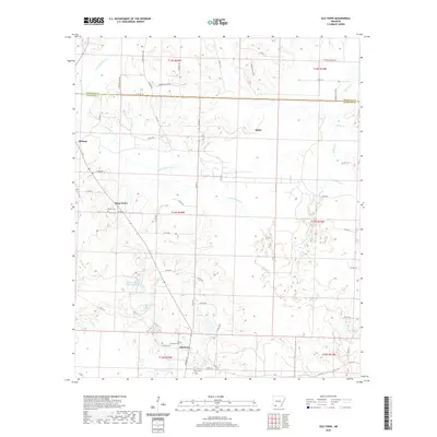
1952 Old Town
Lafayette County, AR
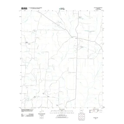
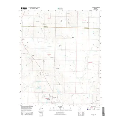
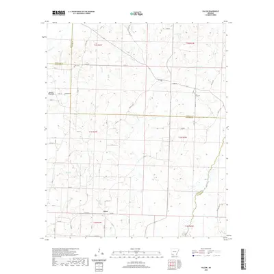
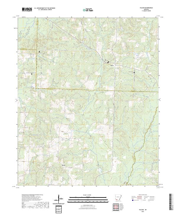
1968 Falcon
Lafayette County, AR
2011 Boyd Hill
Lafayette County, AR
2011 Bradley NE
Lafayette County, AR
2011 Bradley SE
Lafayette County, AR
2011 Canfield
Lafayette County, AR
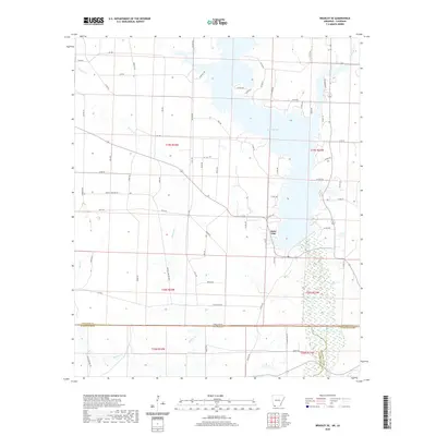
2011 Doddridge SE
Lafayette County, AR
2011 Falcon
Lafayette County, AR
2011 Old Town
Lafayette County, AR
2014 Boyd Hill
Lafayette County, AR
2014 Bradley NE
Lafayette County, AR
2014 Bradley SE
Lafayette County, AR
2014 Canfield
Lafayette County, AR
2014 Doddridge SE
Lafayette County, AR
2014 Falcon
Lafayette County, AR
2014 Old Town
Lafayette County, AR
2017 Boyd Hill
Lafayette County, AR
2017 Bradley NE
Lafayette County, AR
2017 Bradley SE
Lafayette County, AR
2017 Canfield
Lafayette County, AR
2017 Doddridge SE
Lafayette County, AR
2017 Falcon
Lafayette County, AR
2017 Old Town
Lafayette County, AR
2020 Boyd Hill
Lafayette County, AR
2020 Bradley NE
Lafayette County, AR
2020 Bradley SE
Lafayette County, AR
2020 Canfield
Lafayette County, AR
2020 Doddridge SE
Lafayette County, AR
2020 Falcon
Lafayette County, AR
2020 Old Town
Lafayette County, AR
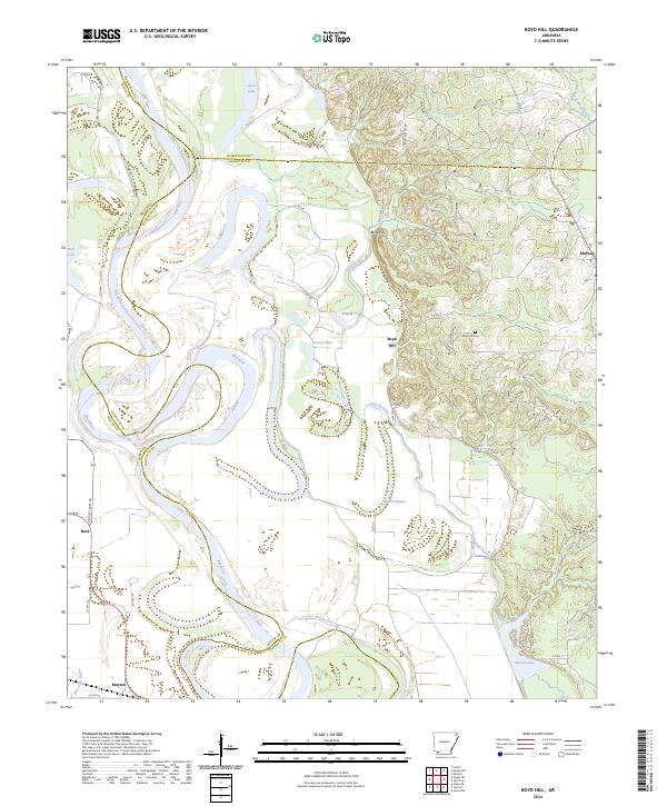
2024 Boyd Hill
Lafayette County, AR
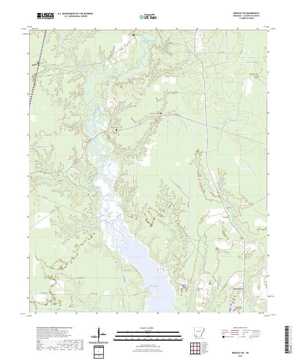
2024 Bradley NE
Lafayette County, AR
2024 Bradley SE
Lafayette County, AR
2024 Canfield
Lafayette County, AR
2024 Doddridge SE
Lafayette County, AR
2024 Falcon
Lafayette County, AR
2024 Old Town
Lafayette County, AR