Loading...
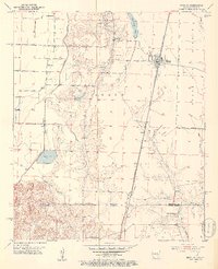
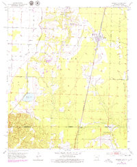
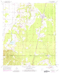
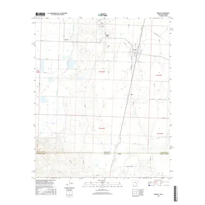
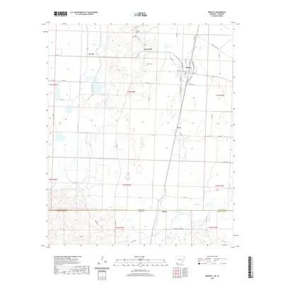
Loading map...1952 Map of Bradley
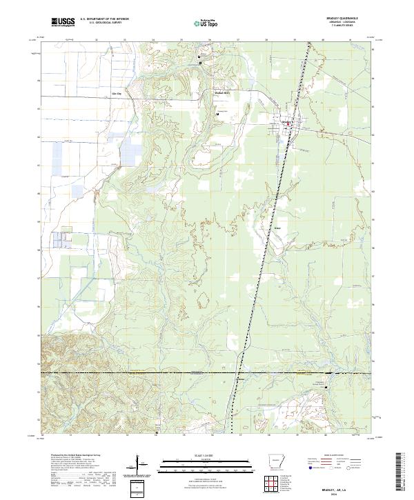
USGS Topo · Published 1953About this map
The Southwestern railroad line, operated by the St Louis Southwestern, bisects this borderland where the Arkansas delta meets the north Louisiana parishes. Centered on the town of Bradley, the landscape is defined by the wandering course of Posten Bayou and the smaller drainages of Cornish Branch and Wheeler Creek. The local rural economy of the early 1950s is evidenced by several community hubs, including the Bunham Sch and a cluster of local congregations such as St Paul Ch and Mt Holly Ch.
Find a feature on this map
30 named features on this map. Tap any name to fly to it.
Don’t see what you’re looking for? This feature index may not catch every label — zoom into the map to look around manually.
Map Details
Date Portrayed1952
Date Published1953
PublisherU.S. Geological Survey
Map TypeTopographic
Scale1:24,000
Physical Dimensions21.86 x 26.88 inches
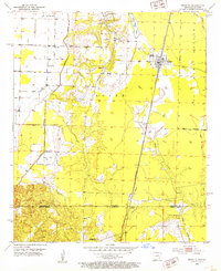
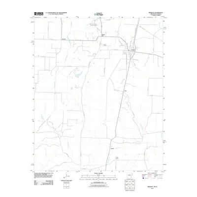
Editions of this 1952 Bradley Map
6 editions found
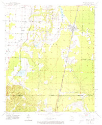
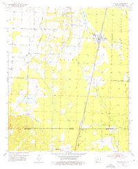
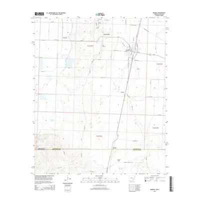
Historical Maps of Bradley Through Time
6 maps found
Featured Locations
Source Details
SourceU.S. Geological Survey
CopyrightPublic Domain