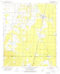
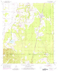
1952 Map of Bradley
USGS Topo · Published 1976About this map
Bradley serves as a central hub on this 1952 topographic survey, which documents the borderlands where Arkansas meets Louisiana. The landscape is defined by the St Louis Southwestern railroad corridor and a network of waterways including Posten Bayou and Dooley Creek. This era of the Gulf South is represented through several small rural communities like Gin City and Walnut Hill, each clustered around local institutions such as St Mary Ch and Bunkham Sch. The map reveals the intricate drainage patterns of the Lafayette Co Bossier Parish line, showing how the wetlands and bayous dictated the placement of early settlements and road networks. To the east, the State Game Refuge Boundary marks a transition from agricultural land into managed natural space, while landmarks like Chalybeate Springs Ch provide key points of reference for genealogists tracing family roots in the region.
Find a feature on this map
28 named features on this map. Tap any name to fly to it.
Don’t see what you’re looking for? This feature index may not catch every label — zoom into the map to look around manually.
Map Details
Editions of this 1952 Bradley Map
6 editions found
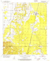
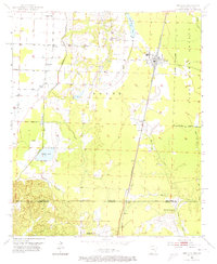
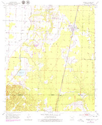
Other maps of this area

1932 · Hosston NE
USGS Topo · 1:31,680

1948 · Vivian
USGS Topo · 1:62,500

1950 · Plain Dealing NE
USGS Topo · 1:31,680

1950 · Plain Dealing NW
USGS Topo · 1:31,680

1952 · Doddridge SE
USGS Topo · 1:24,000

1952 · Bradley
USGS Topo · 1:24,000

1952 · Bradley NE
USGS Topo · 1:24,000

1952 · Doddridge NE
USGS Topo · 1:24,000

1952 · Canfield
USGS Topo · 1:24,000

1952 · Bradley SE
USGS Topo · 1:24,000