
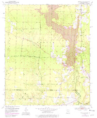
1952 Map of Bradley SE
USGS Topo · Published 1953About this map
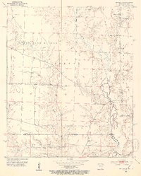
The State Game Refuge dominates the landscape of the Arkansas-Louisiana border in the early 1950s, preserving a complex network of wetlands and creek bottoms. This survey reveals a rural landscape defined by its hydrology, where Bodcau Creek and Bodcau Bayou wind through the borderlands of Lafayette County and Bossier Parish. The presence of scattered Oil Wells across the southwestern portion of the sheet suggests the mid-century expansion of the regional petroleum industry into the lowland terrain.
Find a feature on this map
20 named features on this map. Tap any name to fly to it.
Don’t see what you’re looking for? This feature index may not catch every label — zoom into the map to look around manually.
Map Details
Editions of this 1952 Bradley SE Map
6 editions found
Other maps of this area

1922 · Sarepta
USGS Topo · 1:62,500

1924 · Sarepta
USGS Topo · 1:62,500

1950 · Plain Dealing NE
USGS Topo · 1:31,680

1950 · Plain Dealing NW
USGS Topo · 1:31,680

1952 · Bradley
USGS Topo · 1:24,000

1952 · Bradley NE
USGS Topo · 1:24,000

1952 · Canfield
USGS Topo · 1:24,000

1953 · Carterville
USGS Topo · 1:24,000

1953 · El Dorado
USGS Topo · 1:250,000

1955 · Shreveport
USGS Topo · 1:250,000