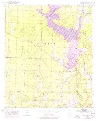
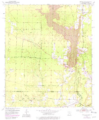
1952 Map of Bradley SE
USGS Topo · Published 1978About this map
Lake Erling dominates the eastern landscape of this survey, which captures the rural borderlands between Arkansas and Louisiana in the early 1950s. The map illustrates a region defined by its water and woods, where the State Game Refuge and Frenchmans Bayou Game Management Area preserve large tracts of the natural environment. Settlement patterns are concentrated along the winding paths of Walker Creek and Dooley Creek, with local life centered on landmarks like the Walker Creek Sch and State Line Ch.
Find a feature on this map
23 named features on this map. Tap any name to fly to it.
Don’t see what you’re looking for? This feature index may not catch every label — zoom into the map to look around manually.
Map Details
Editions of this 1952 Bradley SE Map
6 editions found
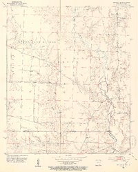
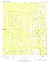
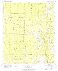
Other maps of this area

1922 · Sarepta
USGS Topo · 1:62,500

1924 · Sarepta
USGS Topo · 1:62,500

1950 · Plain Dealing NE
USGS Topo · 1:31,680

1950 · Plain Dealing NW
USGS Topo · 1:31,680

1952 · Bradley
USGS Topo · 1:24,000

1952 · Bradley NE
USGS Topo · 1:24,000

1952 · Canfield
USGS Topo · 1:24,000

1952 · Bradley SE
USGS Topo · 1:24,000

1953 · Carterville
USGS Topo · 1:24,000

1953 · El Dorado
USGS Topo · 1:250,000