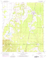
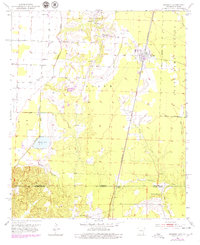
1952 Map of Bradley
USGS Topo · Published 1981About this map
The borderlands of Lafayette County, Arkansas, and Bossier Parish, Louisiana, come alive in this mid-century survey, anchored by the rail town of Bradley. The St Louis Southwestern railroad corridor dictates the regional orientation, connecting the community of Arkana at the state line with the larger settlement to the north. West of the tracks, the landscape is defined by the winding course of Posten Bayou and the agricultural pocket of Gin City, where the terrain transitions into the lowlands near Enyart Lake.
Find a feature on this map
26 named features on this map. Tap any name to fly to it.
Don’t see what you’re looking for? This feature index may not catch every label — zoom into the map to look around manually.
Map Details
Editions of this 1952 Bradley Map
6 editions found
Other maps of this area

1932 · Hosston NE
USGS Topo · 1:31,680

1948 · Vivian
USGS Topo · 1:62,500

1950 · Plain Dealing NE
USGS Topo · 1:31,680

1950 · Plain Dealing NW
USGS Topo · 1:31,680

1952 · Doddridge SE
USGS Topo · 1:24,000

1952 · Bradley
USGS Topo · 1:24,000

1952 · Bradley NE
USGS Topo · 1:24,000

1952 · Doddridge NE
USGS Topo · 1:24,000

1952 · Canfield
USGS Topo · 1:24,000

1952 · Bradley SE
USGS Topo · 1:24,000