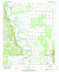
1952 Map of Doddridge SE
USGS Topo · Published 1973About this map
The Red River and Sulphur River dominate this 1950s landscape, winding through a complex network of bayous and former river channels along the Arkansas-Louisiana border. The intricate river-and-rail economy of the era is evident in the presence of the Spring Bank Ferry and Missionary Ferry, which provided essential crossings before modern bridge infrastructure unified the region. This survey captures a moment when rural life centered around local gathering places, from the Kiblah Sch near Smithville to a high density of country churches including New Hope Ch, Promised Land Ch, and Bethlehem Ch. The bottomlands are marked by distinctive water features like Blue Hole and the curiously named Old Bed Rotten Lake, reflecting the shifting nature of the local hydrology and the diverse terrain of Beech, Sulphur, and Roane.
Find a feature on this map
43 named features on this map. Tap any name to fly to it.
Don’t see what you’re looking for? This feature index may not catch every label — zoom into the map to look around manually.
Map Details
Editions of this 1952 Doddridge SE Map
4 editions found
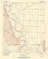
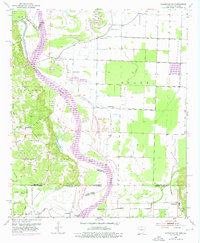
Other maps of this area

1932 · Hosston NW
USGS Topo · 1:31,680

1932 · Hosston NE
USGS Topo · 1:31,680

1948 · Vivian
USGS Topo · 1:62,500

1950 · Plain Dealing NW
USGS Topo · 1:31,680

1952 · Doddridge SE
USGS Topo · 1:24,000

1952 · Bradley
USGS Topo · 1:24,000

1952 · Doddridge NW
USGS Topo · 1:24,000

1952 · Doddridge
USGS Topo · 1:24,000

1952 · Doddridge NE
USGS Topo · 1:24,000

1952 · Canfield
USGS Topo · 1:24,000