2020s Maps of Lafayette County, Arkansas
Explore 30 historic maps of Lafayette County from the 2020s. These maps offer a rare glimpse into what life looked like during the 2020s — showing old roads, neighborhoods, homes, and landmarks that have changed or disappeared over time.
Whether you're researching your family's past, planning a metal detecting trip, or studying how Lafayette County's landscape evolved across the 2020s, these high-resolution maps are a powerful tool for exploring the history of this region.
- Focus on a specific era: All maps on this page are from the 2020s, giving you a focused view of this time period.
- See what’s changed: Compare century-old streets, trails, and buildings to today's modern landscape using overlays and satellite layers.
- Research with precision: Use these maps for genealogy, historical research, land use analysis, or educational projects.
- View, download, or print: Maps are fully viewable online in high resolution, and can be downloaded or printed for your own records.
Start exploring Lafayette County's history through authentic maps from the 2020s. This is your window into the past.
Lafayette County, AR maps
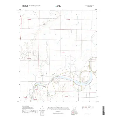
(30)- 2020 Map of Lewisville, 2020 Print
 2020 Lewisville2020 Print · USGSCovers Lafayette County, including Stamps, Lewisville, and other nearby areas
 - 2020 Map of Bradley NE, 2020 Print
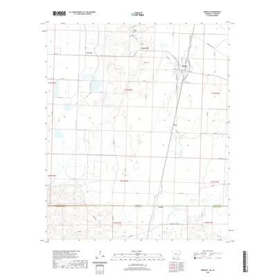
 2020 Bradley NE2020 Print · USGSCovers Lafayette County, including Forest Grove, United States, and other nearby areas
 - 2020 Map of Lamartine, 2020 Print
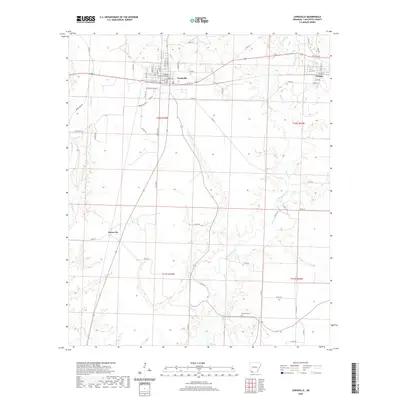
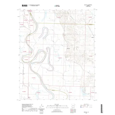
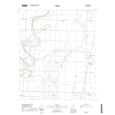
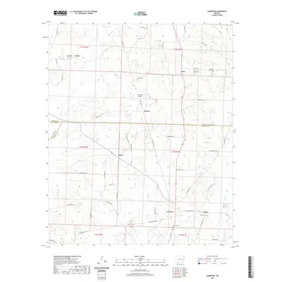 2020 Lamartine2020 Print · USGSCovers Lafayette County, including Lamartine, Bethel, and other nearby areas
 - 2020 Map of Bussey, 2020 Print
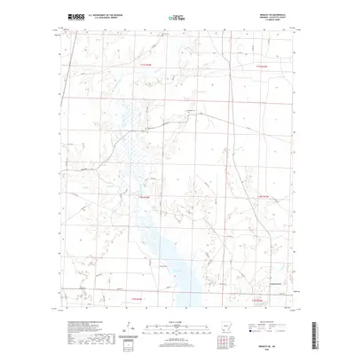
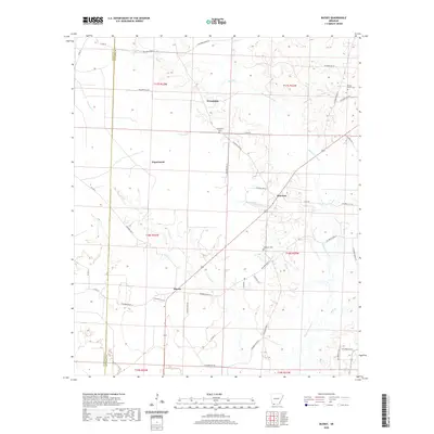 2020 Bussey2020 Print · USGSCovers Lafayette County, including Bussey, Friendship, and other nearby areas
 - 2020 Map of Doddridge NE, 2020 Print
 2020 Doddridge NE2020 Print · USGSCovers Lafayette County, including Fairland, Miller County, and other nearby areas
 - 2020 Map of Garland, 2020 Print
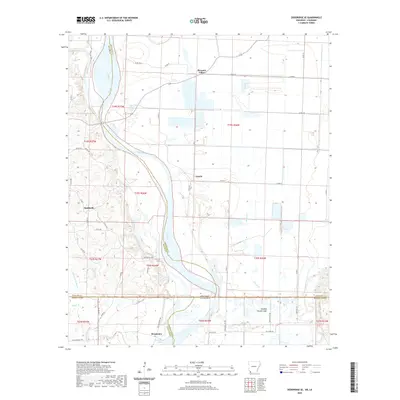
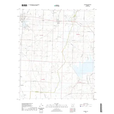
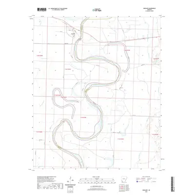 2020 Garland2020 Print · USGSCovers Lafayette County, including Garland, Miller County, and other nearby areas
 - 2020 Map of Boyd Hill, 2020 Print
 2020 Boyd Hill2020 Print · USGSCovers Lafayette County, including Beck, Boyd Hill, and other nearby areas
 - 2020 Map of Falcon, 2020 Print
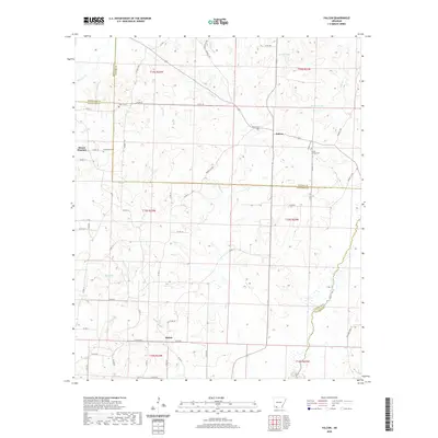 2020 Falcon2020 Print · USGSCovers Lafayette County, including Shiloh, Mount Pleasant, and other nearby areas
 - 2020 Map of Bradley, 2020 Print
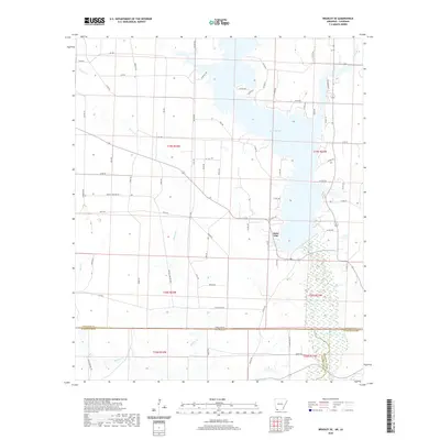
 2020 Bradley2020 Print · USGSCovers Lafayette County, including Bradley, Gin City, and other nearby areas
 - 2020 Map of Old Town, 2020 Print
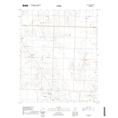 2020 Old Town2020 Print · USGSCovers Lafayette County, including Lewisville, Midway, and other nearby areas
 - 2020 Map of Bradley SE, 2020 Print
 2020 Bradley SE2020 Print · USGSCovers Lafayette County, including Walker Creek, State Line, and other nearby areas
 - 2020 Map of Doddridge SE, 2020 Print
 2020 Doddridge SE2020 Print · USGSCovers Lafayette County, including Canale, Missionary, and other nearby areas
 - 2020 Map of Taylor, 2020 Print
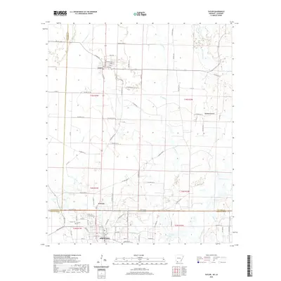 2020 Taylor2020 Print · USGSCovers Lafayette County, including Springhill, Taylor, and other nearby areas
 - 2020 Map of Buckner, 2020 Print
 2020 Buckner2020 Print · USGSCovers Lafayette County, including Stamps, Buckner, and other nearby areas
 - 2020 Map of Canfield, 2020 Print
 2020 Canfield2020 Print · USGSCovers Lafayette County, including Burton Mill, Canfield, and other nearby areas
 - 2024 Map of Lewisville, 2024 Print
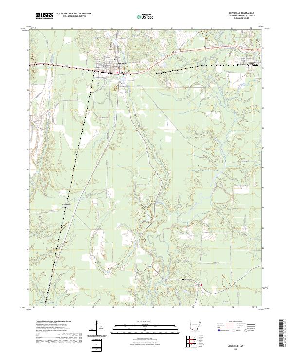 2024 Lewisville2024 Print · USGSLafayette County and the surrounding countryside appear in detail in this modern survey. Researchers can trace family roots at Mars Hill Cem and explore the historic layout of Lewisville near the Lafayette County Courthouse.
 - 2024 Map of Doddridge SE, 2024 Print
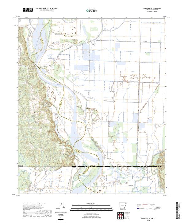 2024 Doddridge SE2024 Print · USGSThe Arkansas-Louisiana borderlands come alive on this survey of the Red River floodplains. Researchers can trace the legacy of remote river settlements like Missionary and Pleasant Valley or locate the Blanton Cem.
 - 2024 Map of Doddridge NE, 2024 Print
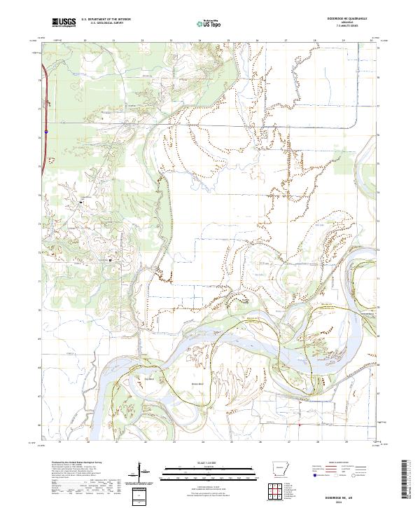 2024 Doddridge NE2024 Print · USGSMiller County at the state's edge reveals a landscape defined by the shifting currents of the Red River and its intricate bayous. Genealogists and local historians can locate Independence Cem, trace the oxbows of Bee Lake, and follow the Old Channel McKinney Bayou.
 - 2024 Map of Taylor, 2024 Print
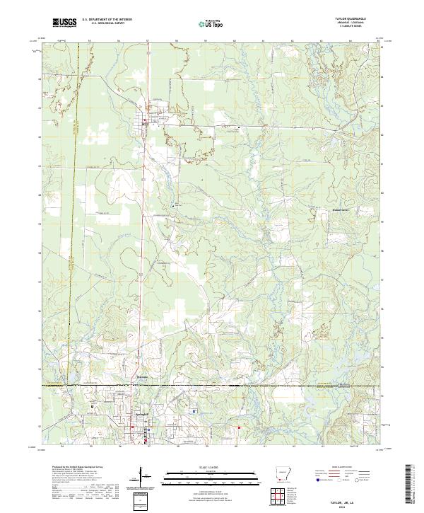 2024 Taylor2024 Print · USGSThe Arkansas-Louisiana borderlands come into focus in this contemporary survey of the corridor between Taylor and Springhill. Researchers can trace family sites at Taylor Memorial Cem and Saint Paul Cem, or follow the Kansas City Southern rail line.
 - 2024 Map of Old Town, 2024 Print
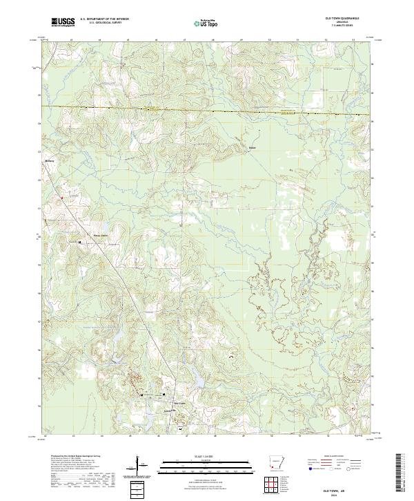 2024 Old Town2024 Print · USGSLafayette County settlement and drainage patterns are recorded here in the early twenty-first century. Researchers can trace family history at Old Lewisville Cem and Stricklin Cem, or locate landmarks like Old Town and Piney Grove.
 - 2024 Map of Bradley, 2024 Print
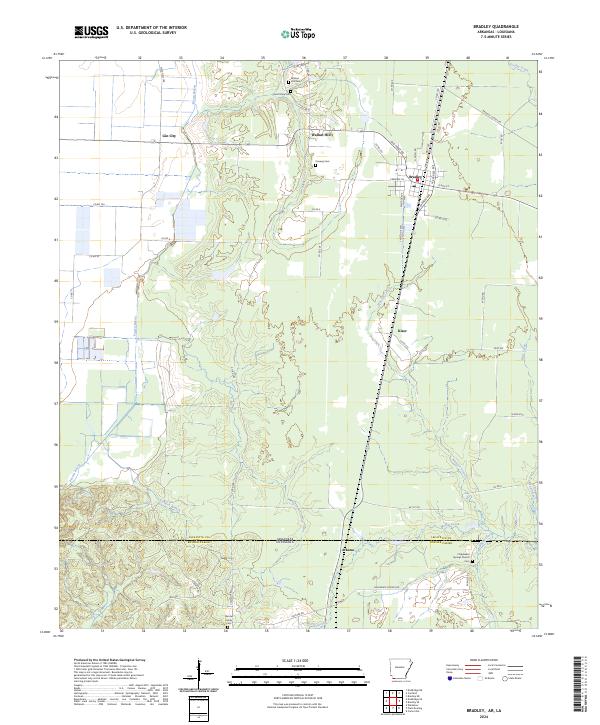 2024 Bradley2024 Print · USGSLafayette County sits at the crossroads of the Arkansas-Louisiana border in this contemporary survey of the Bradley area. Researchers can trace family history through several rural burial sites, including Hamiter Family Cem, and locate the small communities of Walnut Hill and Gin City.
 - 2024 Map of Canfield, 2024 Print
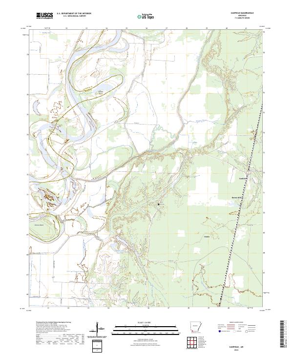 2024 Canfield2024 Print · USGSThe river bottomlands of Lafayette County are captured in this contemporary survey, showing a landscape defined by the shifting Red River. Researchers can locate family landmarks like Union Hill Cem, the Burton Mill site, and the community of Canfield.
 - 2024 Map of Garland, 2024 Print
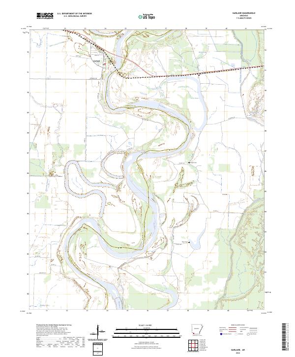 2024 Garland2024 Print · USGSThe Red River floodplain in Miller and Lafayette counties is shown here in the 2020s, revealing a landscape defined by dramatic river meanders. Researchers can locate local landmarks like Garland, Wright Cem, and Moccasin Bayou amidst the valley's winding waterways.
 - 2024 Map of Bradley SE, 2024 Print
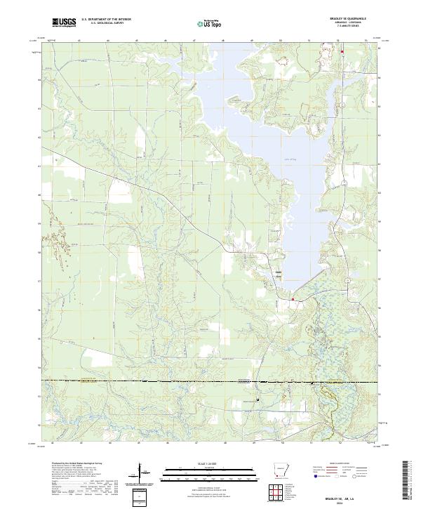 2024 Bradley SE2024 Print · USGSThe borderlands of southern Arkansas and northern Louisiana come into focus in this recent survey of the timber and creek country. Genealogists and historians can trace old property lines and cemetery locations like Old Stateline Cem and Shiloh Church Cem near the shores of Lake Erling.
 - 2024 Map of Falcon, 2024 Print
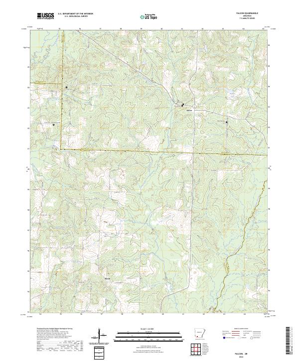 2024 Falcon2024 Print · USGSSouthwest Arkansas at the crossroads of four counties reveals a landscape of winding bayous and scattered homesteads. Genealogists can trace family roots through several rural burial grounds including Falcon Cem, Clever Springs Cem, and the remote Clark Cem.
Showing maps 1-25 of 30
Top cities of Lafayette County
Frequently asked questions
- What are the different types of historical maps available for Lafayette County?
- What is the oldest map of Lafayette County?
- Where can I purchase historical maps of Lafayette County for my home or office?
- Where can I download high-res historical maps of Lafayette County?
- Are there historical topographic maps available for Lafayette County?
- Is there historical aerial imagery available for Lafayette County?
- Where are historical maps of Lafayette County sourced from?