2000s (21st Century) Maps of Lafayette County, Arkansas
Explore 75 historic maps of Lafayette County from the 2000s (21st Century). These maps offer a rare glimpse into what life looked like during the 2000s — showing old roads, neighborhoods, homes, and landmarks that have changed or disappeared over time.
Whether you're researching your family's past, planning a metal detecting trip, or studying how Lafayette County's landscape evolved across the 2000s, these high-resolution maps are a powerful tool for exploring the history of this region.
- Focus on a specific era: All maps on this page are from the 2000s, giving you a focused view of this time period.
- See what’s changed: Compare century-old streets, trails, and buildings to today's modern landscape using overlays and satellite layers.
- Research with precision: Use these maps for genealogy, historical research, land use analysis, or educational projects.
- View, download, or print: Maps are fully viewable online in high resolution, and can be downloaded or printed for your own records.
Start exploring Lafayette County's history through authentic maps from the 2000s. This is your window into the past.
Lafayette County, AR maps
(75)- 2011 Map of Boyd Hill, 2011 Print
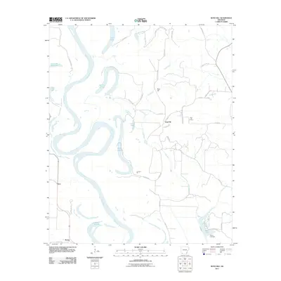 2011 Boyd Hill2011 Print · USGSMiller County at the dawn of the 2010s reveals a landscape shaped by the shifting Red River. Researchers can trace old family sites and local history through the Boyd Hill Cemetery, the Dooley Ferry Crossing, and oxbows like 1927 Cut off Lake.
 - 2011 Map of Lewisville, 2011 Print
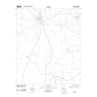 2011 Lewisville2011 Print · USGSLafayette County enters a new decade with its classic oil-and-gas landscape and rural settlements intact. Researchers can trace the layout of Lewisville and Stamps, or locate family sites near the Mars Hill Cemetery and the Lewisville Oil and Gas Field.
 - 2011 Map of Buckner, 2011 Print
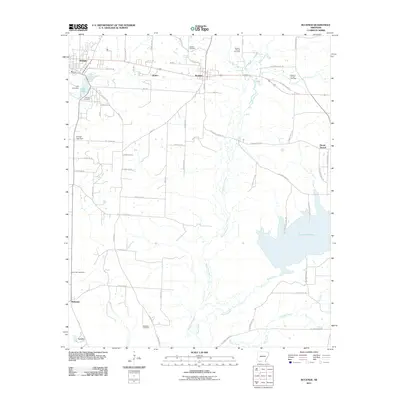 2011 Buckner2011 Print · USGSLafayette County enters the second decade of the new millennium as a landscape shaped by petroleum and winding waterways. Genealogists and local historians can locate several family burial sites, including Mount Zion Cemetery, or trace the development around the Buckner Oil and Gas Field and Lake Columbia.
 - 2011 Map of Bradley NE, 2011 Print
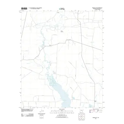 2011 Bradley NE2011 Print · USGSLafayette County, Arkansas, is captured here in the early twenty-first century, showcasing a landscape shaped by both nature and industry. Genealogists and local historians can trace the sites of Demoss Cemetery, the Forest Grove settlement, and the McKemie- Patton Oil and Gas Field.
 - 2011 Map of Doddridge SE, 2011 Print
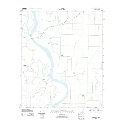 2011 Doddridge SE2011 Print · USGSThe Red River floodplain at the Arkansas-Louisiana border reveals a landscape defined by its waterways and historic crossings. Researchers can trace the river's legacy through family landmarks like Blanton Cemetery and river transit points including Spring Bank Ferry and Missionary Ferry.
 - 2011 Map of Garland, 2011 Print
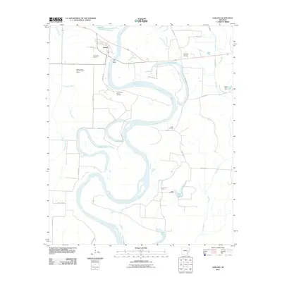 2011 Garland2011 Print · USGSThe Red River floodplain in Miller County is shown here in the early twenty-first century, marked by winding oxbows and rural industry. Researchers can locate family landmarks like Wright Cemetery, trace the grounds of Cedar Grove School, or study the Spirit Lake Oil and Gas Field.
 - 2011 Map of Old Town, 2011 Print
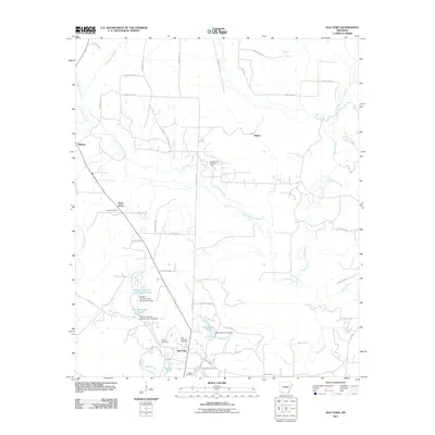 2011 Old Town2011 Print · USGSLafayette County’s rural character is on full display here in the early twenty-first century, showing the intersection of oil industry and historic settlements. Genealogists can locate family sites at the Old Lewisville Cemetery and Sewell Cemetery, while industrial historians can trace the Midway Oil and Gas Field.
 - 2011 Map of Bradley SE, 2011 Print
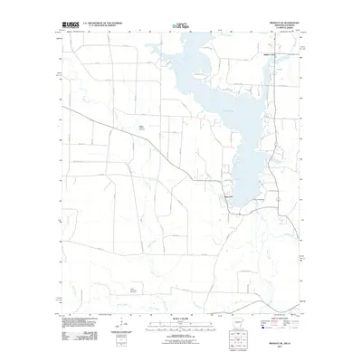 2011 Bradley SE2011 Print · USGSLafayette County and northern Louisiana are captured here during the early twenty-first century as industrial energy and water management define the landscape. Trace the expanse of Lake Erling or locate sites within the Bradley Oil and Gas Field and near Walker Creek.
 - 2011 Map of Doddridge NE, 2011 Print
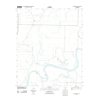 2011 Doddridge NE2011 Print · USGSThe Miller County floodplains in the early twenty-first century reveal a landscape deeply shaped by the shifting course of the Red River. Researchers can trace the legacy of rural transport and agriculture through local landmarks like Beloh Bridge, the Valley Gin, and the settlement of Fairland.
 - 2011 Map of Canfield, 2011 Print
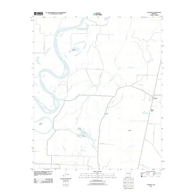 2011 Canfield2011 Print · USGSLafayette County's river-bottom lands are captured here in the early twenty-first century as the Red River snakes past Dillard Bend. Researchers can trace the rural infrastructure around Canfield, locating landmarks like Union Hill Cemetery and the Burton Mill site.
 - 2011 Map of Taylor, 2011 Print
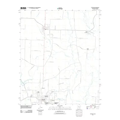 2011 Taylor2011 Print · USGSThe Arkansas and Louisiana borderlands meet in the early twenty-first century as the industrial activity of Springhill extends toward the rural settlement of Taylor. Researchers can trace the layout of the Springhill Oil Field, local family sites at Boucher Cemetery, and the wetlands of Bayou Dorcheat.
 - 2011 Map of Bussey, 2011 Print
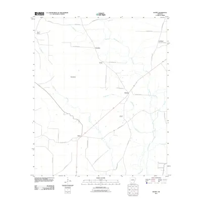 2011 Bussey2011 Print · USGSColumbia County’s rural landscape is captured here in the early twenty-first century, showing a network of small settlements and oil infrastructure. Genealogists can locate family landmarks at Friendship Cemetery, Sharman, and the McKamie Patton Oil Field.
 - 2011 Map of Bradley, 2011 Print
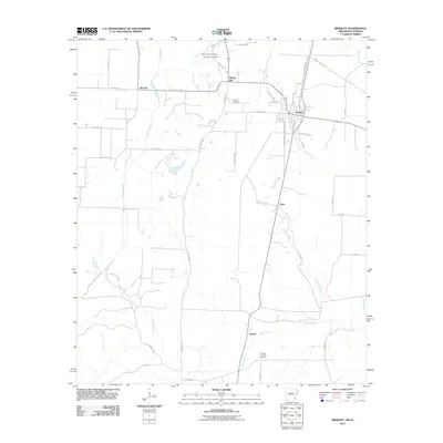 2011 Bradley2011 Print · USGSBradley and its surrounding lowlands are captured here in the early twenty-first century. Researchers can locate early family sites near Walnut Hill Cemetery or trace the industrial footprint of the Arkana Oil and Gas Field.
 - 2011 Map of Falcon, 2011 Print
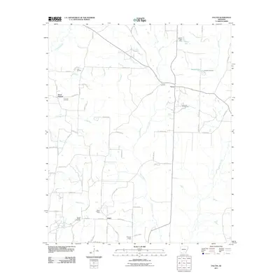 2011 Falcon2011 Print · USGSShiloh and Falcon are depicted here in the early twenty-first century as centers of Arkansas oil and gas production. Genealogists and researchers can trace family landmarks like Clark Cemetery, Cummings Cemetery, and the Shiloh Lookout Tower.
 - 2011 Map of Lamartine, 2011 Print
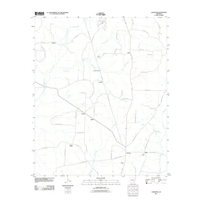 2011 Lamartine2011 Print · USGSColumbia County is shown during a period of steady rural character, where small settlements like Stockton and Bethel anchor the landscape. Researchers can trace family sites near Shiloh Cemetery or explore the reach of the Willisville Oil Field.
 - 2014 Map of Lewisville, 2014 Print
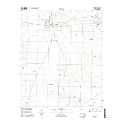 2014 Lewisville2014 Print · USGSLafayette County enters the 2010s with its established oil fields and regional hubs clearly defined. Researchers can trace the layout of Lewisville and Stamps, locate the Mars Hill Cem, and follow the winding path of Bodeau Creek.
 - 2014 Map of Falcon, 2014 Print
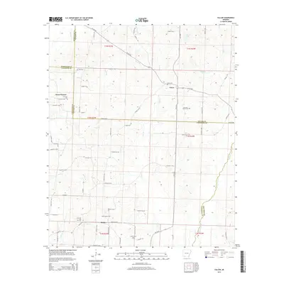 2014 Falcon2014 Print · USGSSouthern Arkansas timber and oil country comes into focus in this recent survey of the Four-County border region. Genealogists and local historians can trace family ties through Clark Cem and Falcon Cem, or locate landmarks like the Shiloh Lookout Tower and Falcon Oil and Gas Field.
 - 2014 Map of Bradley, 2014 Print
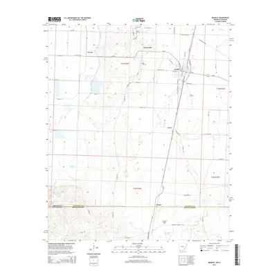 2014 Bradley2014 Print · USGSLafayette County sits on the Arkansas-Louisiana border in the early 2010s, where the rural economy transitions from Bayou agriculture to energy production. Researchers can locate family sites at Walnut Hill Cem, trace the roads around Gin City, or explore the Arkana Oil and Gas Field.
 - 2014 Map of Bussey, 2014 Print
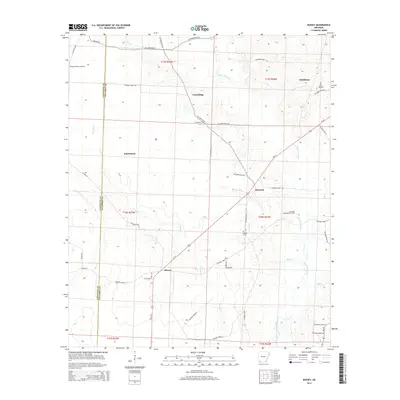 2014 Bussey2014 Print · USGSColumbia County's rural oil-producing landscape is captured here in the early 21st century, showing the intersection of industry and community. Genealogists can trace family landmarks like Rocky Mt Cem and early settlements including Experiment, Sharman, and Friendship.
 - 2014 Map of Boyd Hill, 2014 Print
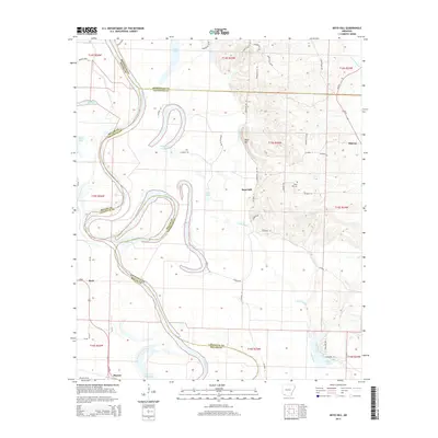 2014 Boyd Hill2014 Print · USGSThe Red River valley in Southwest Arkansas is captured here just after the turn of the millennium, showing a landscape defined by shifting watercourses. Genealogists and local historians can trace family roots around Boyd Hill Cem and the small settlements of Mayton, Beck, and Midway.
 - 2014 Map of Lamartine, 2014 Print
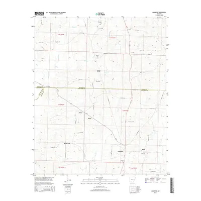 2014 Lamartine2014 Print · USGSThe rural borderlands where Nevada, Columbia, and Lafayette counties meet are captured in this recent survey. Local researchers can trace family roots through sites like Shiloh Cem and Waldrep Cem or locate historical settlement points at Lamartine and Stockton.
 - 2014 Map of Old Town, 2014 Print
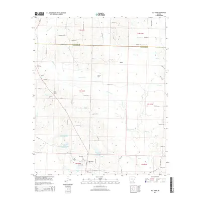 2014 Old Town2014 Print · USGSThe Lafayette and Hempstead county line comes alive in this survey of the Arkansas timber and oil lands. Researchers can locate family landmarks like Old Lewisville Cem, the historic Old Town site, and the sprawling Midway Oil and Gas Field.
 - 2014 Map of Bradley NE, 2014 Print
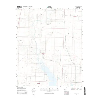 2014 Bradley NE2014 Print · USGSLafayette County’s southern woods and wetlands are captured here in the early twenty-first century, centered on the Lake Erling shoreline. Genealogists and local historians can trace family burial sites at McClendon Cem and Demoss Cem or locate the rural settlement of Forest Grove.
 - 2014 Map of Bradley SE, 2014 Print
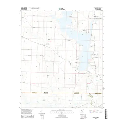 2014 Bradley SE2014 Print · USGSThe Arkansas-Louisiana borderlands come into focus in this 2010s survey of the Bayou Bodcau region. Researchers can trace the sprawling Lake Erling shoreline and locate energy landmarks like the Bradley Oil and Gas Field and North Carterville Oil Field.
 - 2014 Map of Garland, 2014 Print
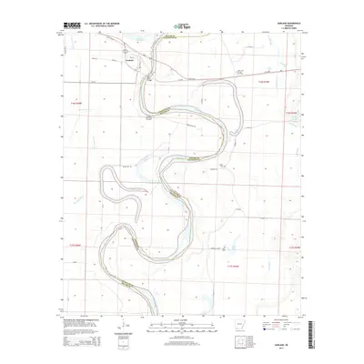 2014 Garland2014 Print · USGSThe Red River floodplain in Miller and Lafayette counties is shown here during a period of active energy production and rural persistence. Genealogists and local historians can trace family locations near Wright Cem, find the strategic Red River Bridge, and locate the Spirit Lake Oil and Gas Field.
Showing maps 1-25 of 75
Top cities of Lafayette County
Frequently asked questions
- What are the different types of historical maps available for Lafayette County?
- What is the oldest map of Lafayette County?
- Where can I purchase historical maps of Lafayette County for my home or office?
- Where can I download high-res historical maps of Lafayette County?
- Are there historical topographic maps available for Lafayette County?
- Is there historical aerial imagery available for Lafayette County?
- Where are historical maps of Lafayette County sourced from?