
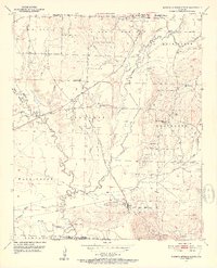
1951 Map of Mineral Springs South
USGS Topo · Published 1952About this map
The Saline River meanders through the heart of this Howard County landscape, defining the boundaries of Washington and Franklin townships. In the early 1950s, the area was characterized by small agricultural and resource-based communities connected by the And Ashdown railroad line. Significant local institutions serve these settlements, including the County Training Sch near Tollette and several rural sanctuaries such as Tabernacle Ch and Bright Star Ch.
Find a feature on this map
48 named features on this map. Tap any name to fly to it.
Don’t see what you’re looking for? This feature index may not catch every label — zoom into the map to look around manually.
Map Details
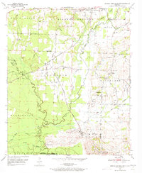
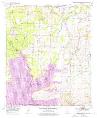
Editions of this 1951 Mineral Springs South Map
4 editions found
Other maps of this area

1950 · Ashdown East
USGS Topo · 1:24,000

1950 · Red Bluff
USGS Topo · 1:24,000

1950 · Ben Lomond
USGS Topo · 1:24,000

1951 · Ben Lomond
USGS Topo · 1:24,000

1951 · Red Bluff
USGS Topo · 1:24,000

1951 · Ashdown East
USGS Topo · 1:24,000

1951 · Columbus
USGS Topo · 1:24,000

1951 · Mineral Springs North
USGS Topo · 1:24,000

1951 · Nashville
USGS Topo · 1:24,000

1951 · Mc Nab
USGS Topo · 1:24,000