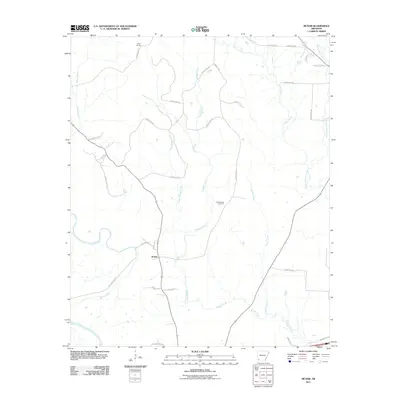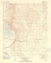
1951 Map of McNab
USGS Topo · Published 1952About this map
Mc Nab stands at the heart of this southwest Arkansas landscape, situated along the St Louis San Francisco railroad line. The mid-century topography reveals a strong community structure defined by its rural institutions, with a notable concentration of country churches including Gravel Hill Ch, Church Hill Ch, and Zion Hill Ch anchoring the local neighborhoods. The terrain is characterized by the lowlands of the Little River and the extensive waters of Grassy Lake, which hosts the Hempstead County Hunting Club near its western shore. Beyond the settlements of Camp Spring and Gibson, the map documents essential infrastructure of the era, such as a prominent Pipe Line and Telephone Line cutting through the Bois D'Arc and Saline townships, providing a clear view of the regional connectivity before later modern developments.
Find a feature on this map
27 named features on this map. Tap any name to fly to it.
Don’t see what you’re looking for? This feature index may not catch every label — zoom into the map to look around manually.
Map Details
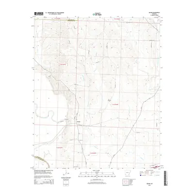
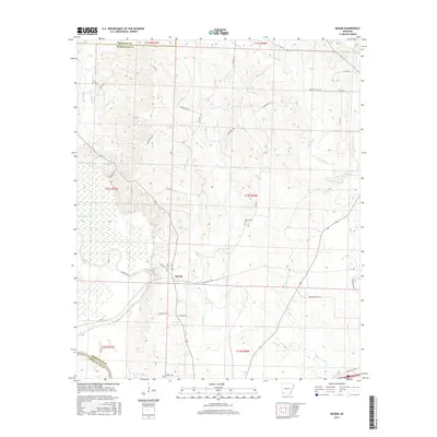
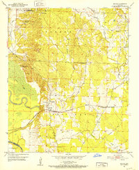
Editions of this 1951 McNab Map
3 editions found
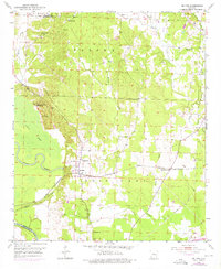
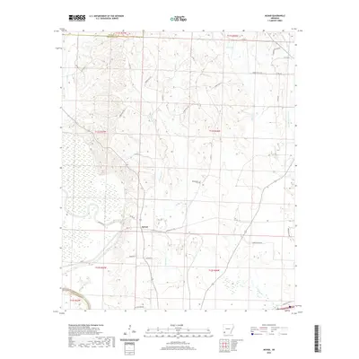
Historical Maps of McNab Through Time
5 maps found