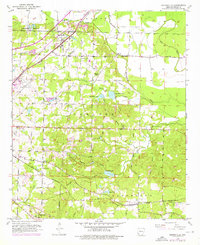
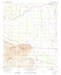
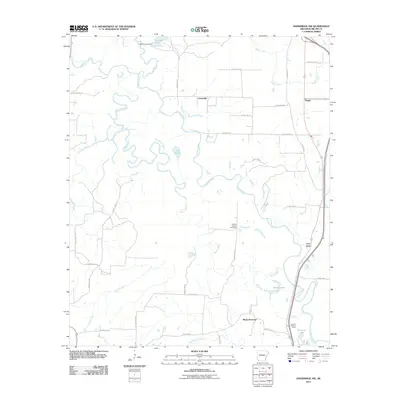
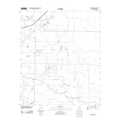
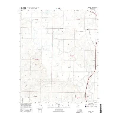
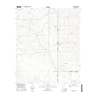
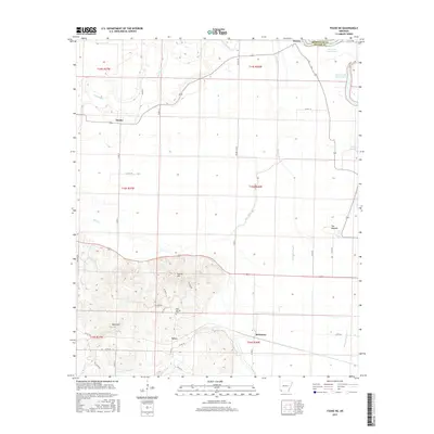
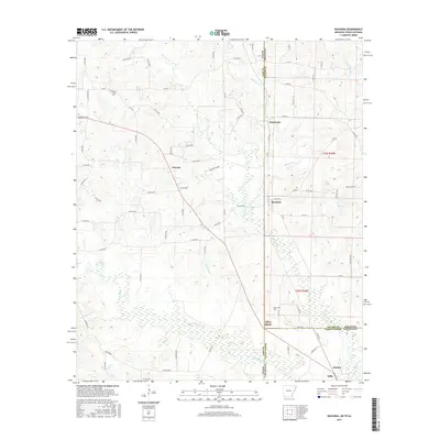
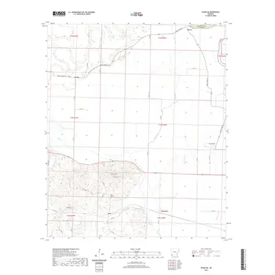
1952 Map of Mandeville
USGS Topo · Published 1976About this map
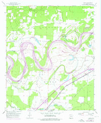
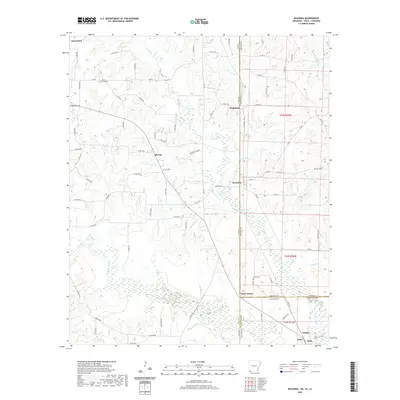
The Missouri Pacific and St Louis Southwestern railroads define the transportation corridors of Miller County in this mid-century portrait of southwest Arkansas. The settlement of Mandeville serves as a northern anchor, where the rail lines and modern highway improvements intersect near the headwaters of McKinney Bayou. To the south, the terrain transitions into a more heavily wooded and creek-dissected landscape around Genoa and Mt Pleasant.
Find a feature on this map
40 named features on this map. Tap any name to fly to it.
Don’t see what you’re looking for? This feature index may not catch every label — zoom into the map to look around manually.
Map Details
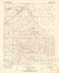
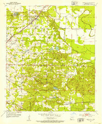
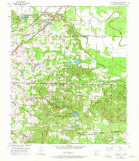
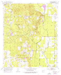
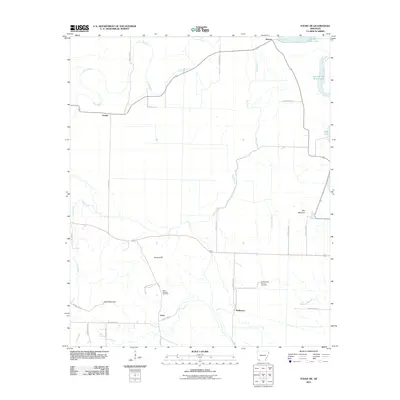
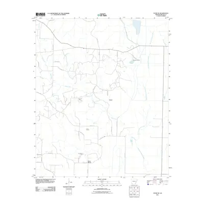
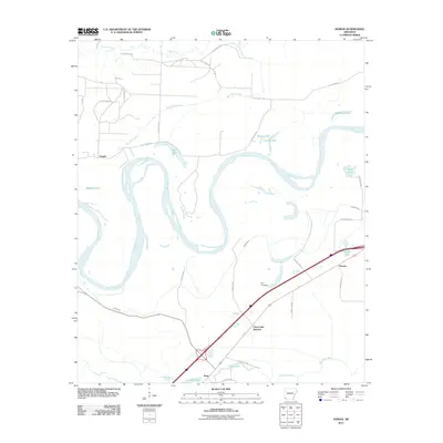
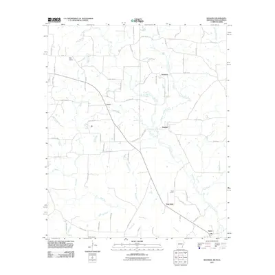
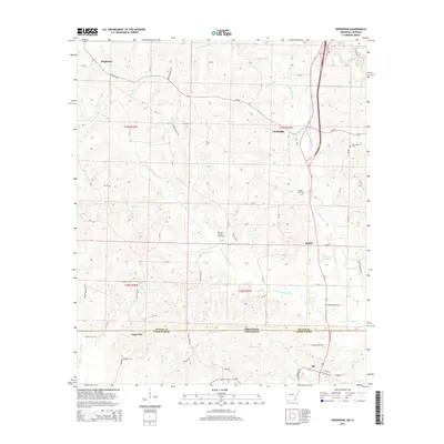
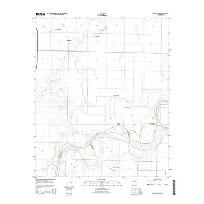
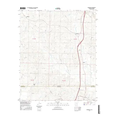
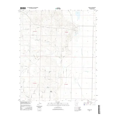
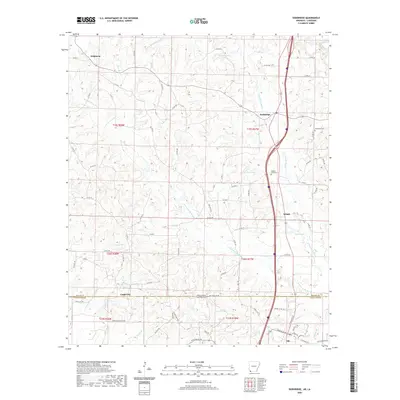
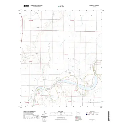
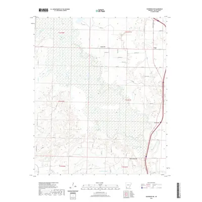
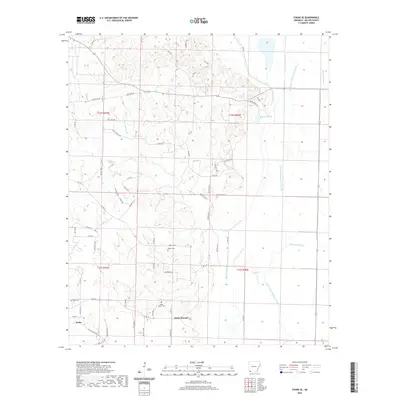
Editions of this 1952 Mandeville Map
4 editions found
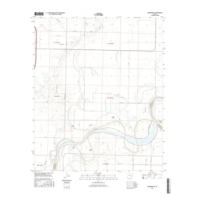
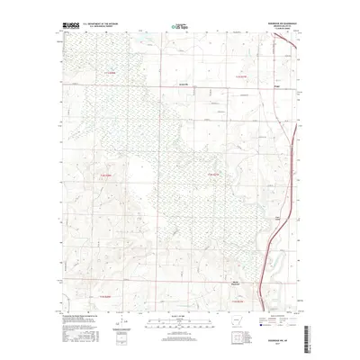
Historical Maps of Texarkana Through Time
47 maps found
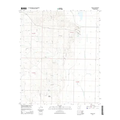
1951 Homan
Miller County, AR
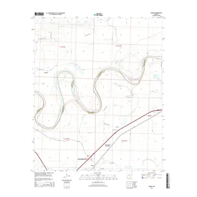
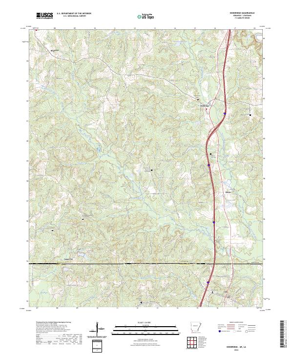
1952 Doddridge
Miller County, AR
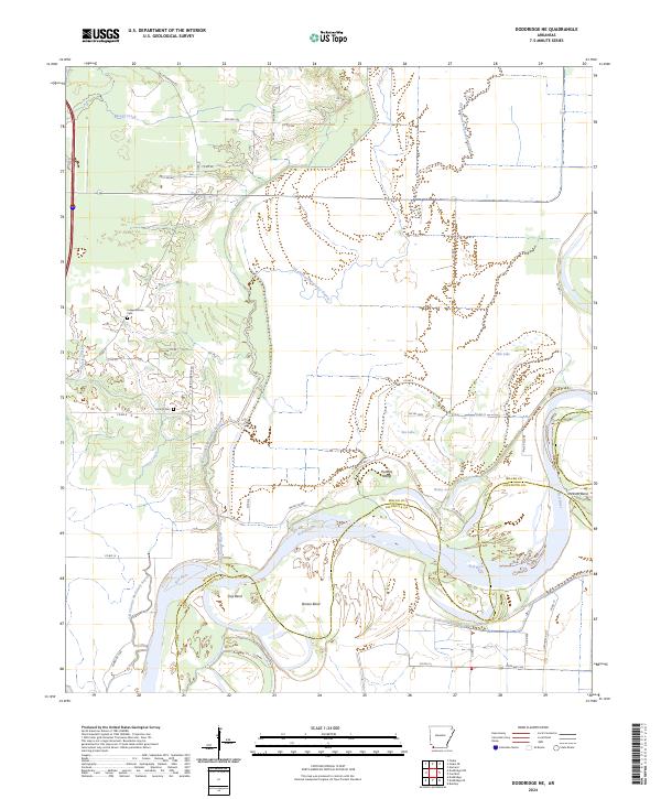
1952 Doddridge NE
Miller County, AR
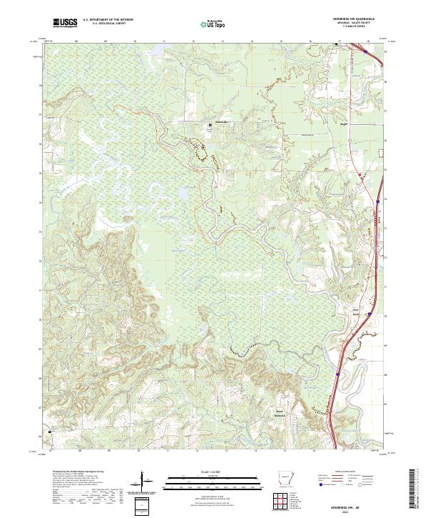
1952 Doddridge NW
Miller County, AR
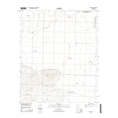
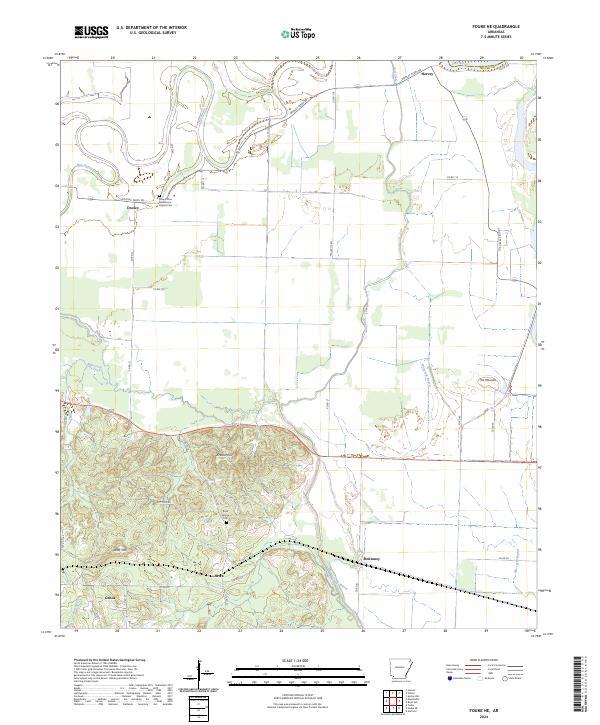
1952 Fouke NE
Miller County, AR
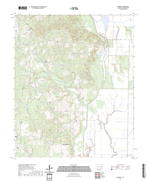
1952 Fouke SE
Miller County, AR
1952 Mandeville
Miller County, AR
2011 Doddridge
Miller County, AR
2011 Doddridge NE
Miller County, AR
2011 Doddridge NW
Miller County, AR
2011 Fouke NE
Miller County, AR
2011 Fouke SE
Miller County, AR
2011 Homan
Miller County, AR
2011 Mandeville
Miller County, AR
2011 Ravanna
Miller County, AR
2014 Doddridge
Miller County, AR
2014 Doddridge NE
Miller County, AR
2014 Doddridge NW
Miller County, AR
2014 Fouke NE
Miller County, AR
2014 Fouke SE
Miller County, AR
2014 Homan
Miller County, AR

2014 Mandeville
Miller County, AR
2014 Ravanna
Miller County, AR
2017 Doddridge
Miller County, AR
2017 Doddridge NE
Miller County, AR
2017 Doddridge NW
Miller County, AR
2017 Fouke NE
Miller County, AR
2017 Fouke SE
Miller County, AR
2017 Homan
Miller County, AR
2017 Mandeville
Miller County, AR
2017 Ravanna
Miller County, AR
2020 Doddridge
Miller County, AR
2020 Doddridge NE
Miller County, AR
2020 Doddridge NW
Miller County, AR
2020 Fouke NE
Miller County, AR
2020 Fouke SE
Miller County, AR
2020 Homan
Miller County, AR
2020 Mandeville
Miller County, AR
2020 Ravanna
Miller County, AR
2024 Doddridge
Miller County, AR
2024 Doddridge NE
Miller County, AR
2024 Doddridge NW
Miller County, AR
2024 Fouke NE
Miller County, AR
2024 Fouke SE
Miller County, AR
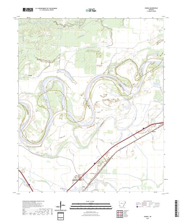
2024 Homan
Miller County, AR
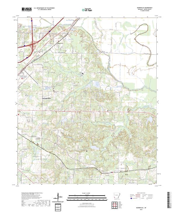
2024 Mandeville
Miller County, AR
2024 Ravanna
Miller County, AR