Old Maps of Carrol Corner, Etowah for Hiking & Exploration
Hike through history with 11 historic maps of Carrol Corner. Explore old trails, ghost towns, and forgotten backroads — perfect for outdoor adventurers and local explorers.
- Rediscover forgotten places: Map out old mining camps, roads, and footpaths that no longer exist on modern maps.
- Layer with modern tools: Combine with LiDAR or satellite views to plan hikes through historical terrain.
- Made for exploration: Popular among hikers, overlanders, and local history lovers.
Use these maps to find adventure and explore the hidden past of Carrol Corner.
Carrol Corner, Etowah maps
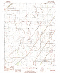
(11)- 1939 Map of Evadale, 1954 Print
 1939 Evadale1954 Print · USGSMississippi County, Arkansas, at the end of the 1930s was a landscape being reshaped by the drainage of the Sunk Lands. Local historians can trace the foundations of several communities and rural landmarks, including Little Bethlehem Ch & Cem, the company town of Wilson, and the early settlement of Dyess.
 - 1953 Map of Memphis, 1966 Print
 1953 Memphis1966 Print · USGSEastern Arkansas and the Memphis riverfront are shown here during the mid-century period of regional growth and river management. Local historians can trace the paths of the Chicago Rock Island & Pacific RR through Forrest City or locate river landmarks like President's Island.3 unique versions available
 - 1956 Map of Evadale
 1956 Evadale1956 Print · USGSMississippi County, Arkansas, appears in the early 1950s as a productive agricultural landscape secured by an extensive system of levees and drainage ditches. Genealogists can locate family names at Pittman Cem, Louise Chapel & Cem, and the industry at Creamery Package.
 - 1956 Map of Memphis
 1956 Memphis1956 Print · USGSThe Mississippi Delta and the bluffs of West Tennessee meet in the mid-fifties, showing a landscape defined by massive river systems and rail hubs. Researchers can trace the path of Crowleys Ridge or locate vanished river landings near Centennial Island and Island No 35.
 - 1983 Map of Etowah, 1984 Print
 1983 Etowah1984 Print · USGSMississippi County in the early eighties shows an engineered delta landscape of drainage canals and small farming hubs. Genealogists can locate family landmarks like Gant Cem and rural centers such as Etowah, Bondsville, and Athelstan.
 - 1986 Map of Jonesboro
 1986 Jonesboro1986 Print · USGSNortheast Arkansas in the mid-eighties shows a landscape of intensive drainage and railroad junctions centered on the rise of Crowley's Ridge. Researchers can trace the rail corridors of the St Louis Southwestern Railway and explore the unique geography of Hatchie Coon Island and the Mississippi River floodplain.2 unique versions available
 - 2011 Map of Etowah, 2011 Print
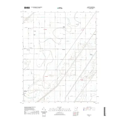
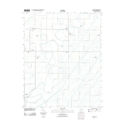 2011 Etowah2011 Print · USGSCovers Carrol Corner, including Etowah, Athelstan, and other nearby areas
 - 2014 Map of Etowah, 2014 Print
 2014 Etowah2014 Print · USGSCovers Carrol Corner, including Etowah, Athelstan, and other nearby areas
 - 2017 Map of Etowah, 2017 Print
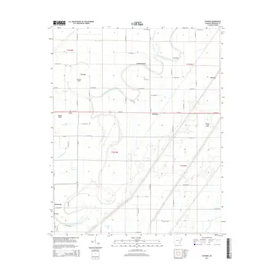
 2017 Etowah2017 Print · USGSCovers Carrol Corner, including Etowah, Athelstan, and other nearby areas
 - 2020 Map of Etowah, 2020 Print
 2020 Etowah2020 Print · USGSCovers Carrol Corner, including Etowah, Athelstan, and other nearby areas
 - 2024 Map of Etowah, 2024 Print
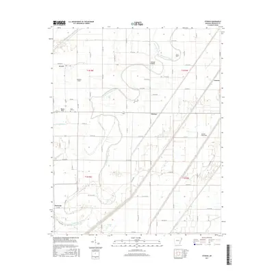
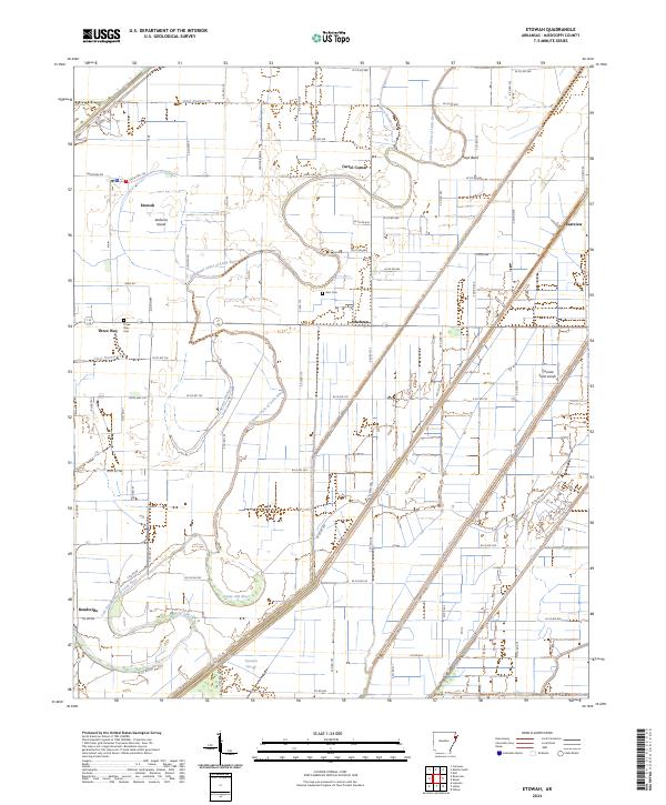 2024 Etowah2024 Print · USGSMississippi County, Arkansas, appears here in its modern agricultural character. Genealogists and local historians can trace family roots through settlements like Etowah and Bondsville, or locate burials at Gant Cem and Three Way Cem.
End of results
Showing maps 1-11 of 11
Top cities near Carrol Corner
- Blytheville historical maps
- Osceola historical maps
- Gosnell historical maps
- Manila historical maps
- Marked Tree historical maps
- Leachville historical maps
See more
Frequently asked questions
- What are the different types of historical maps available for Carrol Corner?
- What is the oldest map of Carrol Corner?
- Where can I purchase historical maps of Carrol Corner for my home or office?
- Where can I download high-res historical maps of Carrol Corner?
- Are there historical topographic maps available for Carrol Corner?
- Is there historical aerial imagery available for Carrol Corner?
- Where are historical maps of Carrol Corner sourced from?