Old Maps of Lost Cane, Arkansas for Genealogy
Trace your family roots with 11 historic maps of Lost Cane. These high-res maps reveal old neighborhoods, homesites, landmarks, and streets — helping you uncover where your ancestors lived and how the area evolved over time.
- Explore historic neighborhoods: Identify where your relatives may have lived in the 1800s or 1900s.
- Compare maps over time: Trace the changes in streets, buildings, and landmarks for multi-generational research.
- Perfect for genealogy & ancestry research: Used by family historians and researchers to map out lineage and migration.
These maps are an incredible resource for exploring your personal connection to Lost Cane's past.
Lost Cane, AR maps
(11)- 1941 Map of Manila, 1945 Print
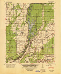 1941 Manila1945 Print · USGSIn the early 1940s, the Arkansas-Missouri line was a landscape defined by reclaimed wetlands and the Big Lake Reservation. Genealogists and local historians can trace rural family life through landmarks like Boxelder Ch & Cem, McFerrin Plantation, and Skidway Sch.
 - 1953 Map of Memphis, 1966 Print
 1953 Memphis1966 Print · USGSEastern Arkansas and the Memphis riverfront are shown here during the mid-century period of regional growth and river management. Local historians can trace the paths of the Chicago Rock Island & Pacific RR through Forrest City or locate river landmarks like President's Island.3 unique versions available
 - 1956 Map of Manila
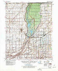 1956 Manila1956 Print · USGSNortheastern Arkansas is seen here during a period of massive agricultural drainage and wetland management in the mid-fifties. Genealogists and historians can trace numerous rural landmarks, from McFerrin Plantation and Sunnyland Ch to the remote Little Green Sch.3 unique versions available
 - 1956 Map of Memphis
 1956 Memphis1956 Print · USGSThe Mississippi Delta and the bluffs of West Tennessee meet in the mid-fifties, showing a landscape defined by massive river systems and rail hubs. Researchers can trace the path of Crowleys Ridge or locate vanished river landings near Centennial Island and Island No 35.
 - 1983 Map of Manila South, 1984 Print
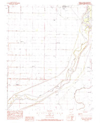 1983 Manila South1984 Print · USGSMississippi County farmland meets the wetlands of the Delta in the early 1980s. Genealogists and local historians can trace rural settlements like Mandalay and Lennie alongside dozens of engineered waterways like Ditch No 18.
 - 1986 Map of Jonesboro
 1986 Jonesboro1986 Print · USGSNortheast Arkansas in the mid-eighties shows a landscape of intensive drainage and railroad junctions centered on the rise of Crowley's Ridge. Researchers can trace the rail corridors of the St Louis Southwestern Railway and explore the unique geography of Hatchie Coon Island and the Mississippi River floodplain.2 unique versions available
 - 2011 Map of Manila South, 2011 Print
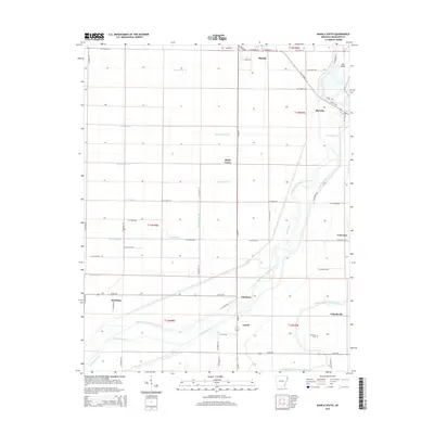
 2011 Manila South2011 Print · USGSCovers Lost Cane, including Manila, Shady Grove, and other nearby areas
 - 2014 Map of Manila South, 2014 Print
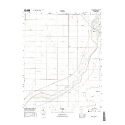
 2014 Manila South2014 Print · USGSCovers Lost Cane, including Manila, Shady Grove, and other nearby areas
 - 2017 Map of Manila South, 2017 Print
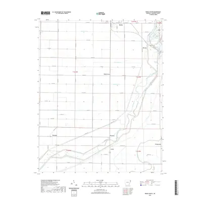
 2017 Manila South2017 Print · USGSCovers Lost Cane, including Manila, Shady Grove, and other nearby areas
 - 2020 Map of Manila South, 2020 Print
 2020 Manila South2020 Print · USGSCovers Lost Cane, including Manila, Shady Grove, and other nearby areas
 - 2024 Map of Manila South, 2024 Print
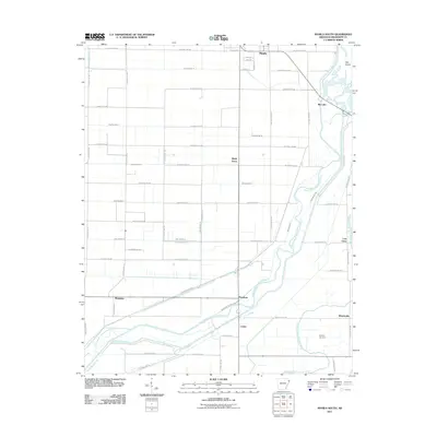
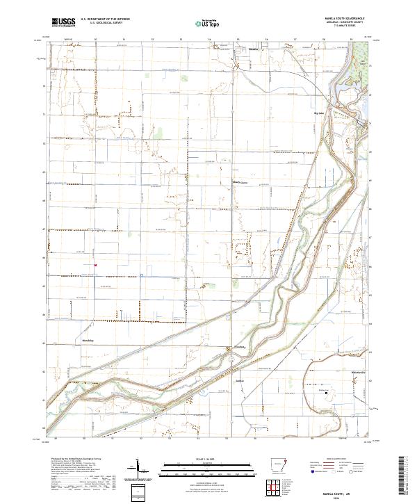 2024 Manila South2024 Print · USGSMississippi County, Arkansas, is captured here in a period of sophisticated water management and rural settlement. Researchers can trace the winding paths of the Right Hand Chute Little River and locate local landmarks like the Brinkley Cem and Whistleville.
End of results
Showing maps 1-11 of 11
Top cities near Lost Cane
- Blytheville historical maps
- Osceola historical maps
- Gosnell historical maps
- Manila historical maps
- Leachville historical maps
- Lepanto historical maps
See more
Frequently asked questions
- What are the different types of historical maps available for Lost Cane?
- What is the oldest map of Lost Cane?
- Where can I purchase historical maps of Lost Cane for my home or office?
- Where can I download high-res historical maps of Lost Cane?
- Are there historical topographic maps available for Lost Cane?
- Is there historical aerial imagery available for Lost Cane?
- Where are historical maps of Lost Cane sourced from?