Old Maps of Mount Ida, Arkansas for Academic Research
Study the evolution of Mount Ida with 19 high-resolution historic maps. Whether you're teaching, researching, or modeling changes in land use, these maps provide essential visual documentation of urban, environmental, and geographic change.
- Analyze long-term change: Track patterns in development, transportation, and natural features.
- Ideal for environmental or urban studies: Support academic projects with primary historical map data.
- Use in the classroom or lab: Educators and researchers rely on these maps to bring historical context to life.
These maps are a powerful tool for teaching, research, and visualizing how Mount Ida has changed over the decades.
Mount Ida, AR maps
(19)- 1890 Map of Mount Ida
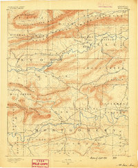 1890 Mount Ida1890 Print · USGSMontgomery and Scott counties are shown in the late nineteenth century, dominated by the ridges of the Ouachita Mountains and the winding Washita or Ouachita River. Genealogists and historians can trace early settlements like Mt. Ida, Oden, and the mining camp at Silver City.7 unique versions available
 - 1955 Map of Little Rock, 1978 Print
 1955 Little Rock1978 Print · USGSCentral Arkansas in the mid-fifties exhibits a landscape of growing cities, massive military installations, and mountain reservoirs. Genealogists and historians can trace the industrial Bauxite Mines, regional rail lines, and local landmarks like Antioch Church.
 - 1956 Map of Little Rock
 1956 Little Rock1956 Print · USGSCentral Arkansas in the mid-fifties shows a landscape defined by burgeoning military bases and the timber-and-mineral wealth of the Ouachitas. Genealogists and researchers can trace old rail lines like the Missouri Pacific and find established communities such as Bauxite, Sheridan, and Mabelvale.
 - 1959 Map of Mount Ida, 1960 Print
 1959 Mount Ida1960 Print · USGSThe Montgomery County interior is documented in the late fifties as the rising waters of Lake Ouachita began to reshape the river valley. Researchers can trace rural cemeteries and church sites like Crystal Hill Ch, McKinney Cem, and the village of Hog Jaw.2 unique versions available
 - 1960 Map of Little Rock
 1960 Little Rock1960 Print · USGSCentral Arkansas in the late fifties shows a landscape of growing military bases and massive new reservoirs. Local historians can trace the mid-century expansion of Little Rock and Hot Springs alongside the industrial works at Bauxite and the Pine Bluff Arsenal.
 - 1964 Map of Little Rock
 1964 Little Rock1964 Print · USGSCentral Arkansas in the mid-sixties is a landscape of mountain ridges, industrial rail lines, and growing military hubs. Researchers can trace the development of Bauxite and Hot Springs or locate rural landmarks like Sparkman and the Pine Bluff Arsenal.
 - 1982 Map of Lake Ouachita
 1982 Lake Ouachita1982 Print · USGSThe Ouachita Mountains of West Central Arkansas are shown here during the early eighties, a time of established recreation and protected timberlands. Researchers can locate small communities like Buckville (PO) and Pencil Bluff or trace the drainage of the Fourche La Fave River.
 - 1986 Map of Reed Mountain
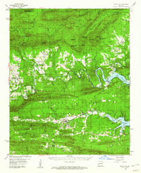
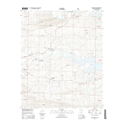
 1986 Reed Mountain1986 Print · USGSMontgomery County was a land of timbered ridges and river valleys in the mid-1980s, shaped by the waters of the Ouachita River. Researchers can locate old family landmarks like Lone Grave Cem, the remote Crystal Mine, and the settlement of Sweethome.
 - 1986 Map of Mount Ida, 1987 Print
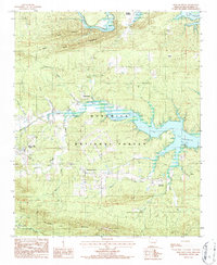
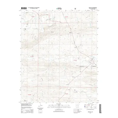
 1986 Mount Ida1987 Print · USGSMount Ida and the surrounding Montgomery County highlands are shown here in the mid-eighties as a landscape of timbered ridges and river settlements. Genealogists and hikers can trace the Womble Trail and locate family-named locales like Hog Jaw, Owley, and Mauldin.
 - 2011 Map of Reed Mountain, 2011 Print
 2011 Reed Mountain2011 Print · USGSCovers Mount Ida, including Hurricane Grove, Silver, and other nearby areas
 - 2011 Map of Mount Ida, 2011 Print
 2011 Mount Ida2011 Print · USGSCovers Mount Ida, including Owley, Mauldin, and other nearby areas
 - 2014 Map of Reed Mountain, 2014 Print
 2014 Reed Mountain2014 Print · USGSCovers Mount Ida, including Hurricane Grove, Silver, and other nearby areas
 - 2014 Map of Mount Ida, 2014 Print
 2014 Mount Ida2014 Print · USGSCovers Mount Ida, including Owley, Mauldin, and other nearby areas
 - 2017 Map of Mount Ida, 2017 Print
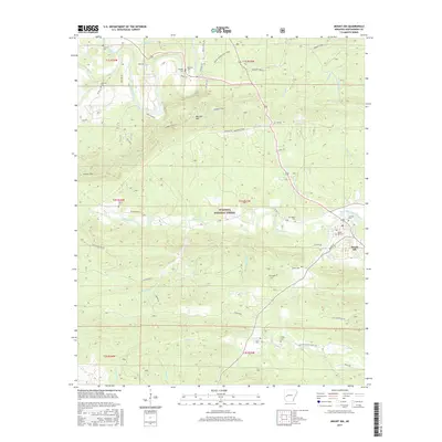 2017 Mount Ida2017 Print · USGSCovers Mount Ida, including Owley, Mauldin, and other nearby areas
 - 2017 Map of Reed Mountain, 2017 Print
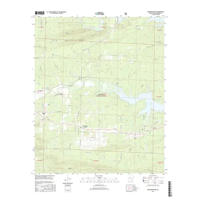 2017 Reed Mountain2017 Print · USGSCovers Mount Ida, including Hurricane Grove, Silver, and other nearby areas
 - 2020 Map of Mount Ida, 2020 Print
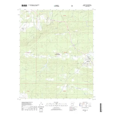 2020 Mount Ida2020 Print · USGSCovers Mount Ida, including Owley, Mauldin, and other nearby areas
 - 2020 Map of Reed Mountain, 2020 Print
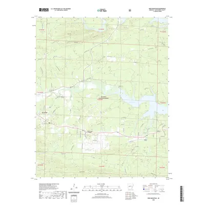 2020 Reed Mountain2020 Print · USGSCovers Mount Ida, including Hurricane Grove, Silver, and other nearby areas
 - 2024 Map of Mount Ida, 2024 Print
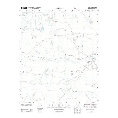
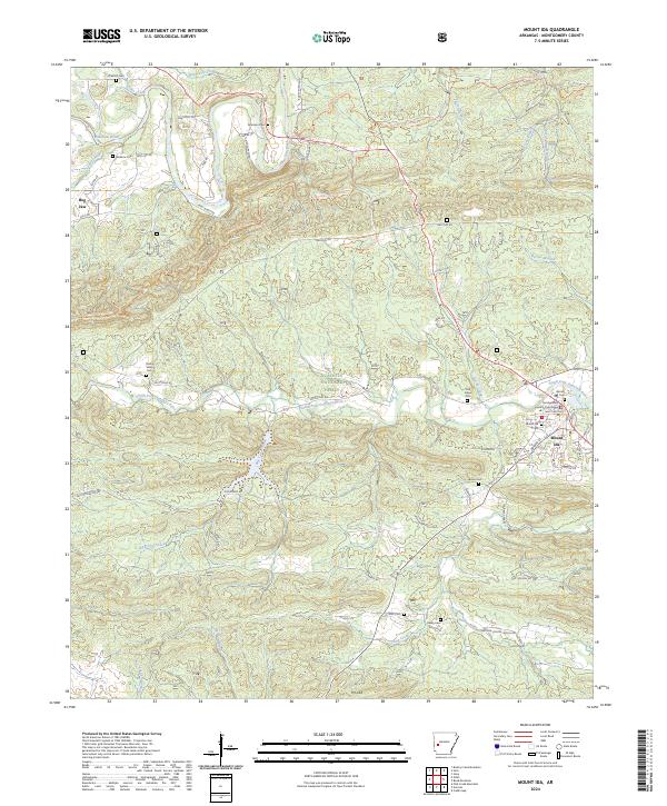 2024 Mount Ida2024 Print · USGSMount Ida and the surrounding Montgomery County hills are captured here in the early twenty-first century, showing the intersection of local life and the Ouachita National Forest. Researchers can locate numerous family burial grounds like Oak Hill Cem and Bates Cem or trace the winding course of the Ouachita River.
 - 2024 Map of Reed Mountain, 2024 Print
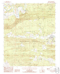
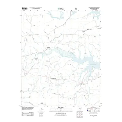
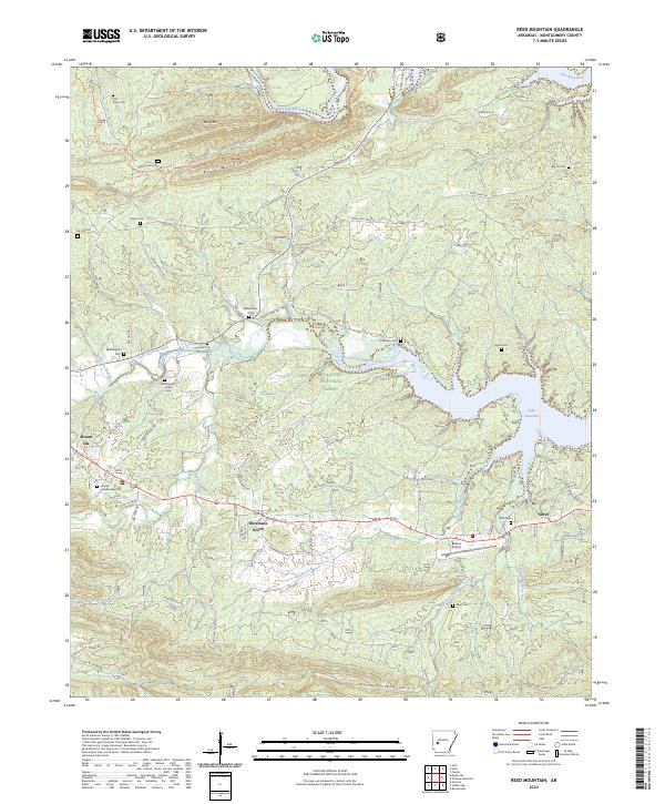 2024 Reed Mountain2024 Print · USGSThe Montgomery County hill country comes to life in this survey, where the Ouachita National Forest meets the waters of Lake Ouachita. Family researchers can trace ancestral roots at Stanley-Standridge Cem, Music Cem, and the old settlement of Silver.
End of results
Showing maps 1-19 of 19
Top cities near Mount Ida
Frequently asked questions
- What are the different types of historical maps available for Mount Ida?
- What is the oldest map of Mount Ida?
- Where can I purchase historical maps of Mount Ida for my home or office?
- Where can I download high-res historical maps of Mount Ida?
- Are there historical topographic maps available for Mount Ida?
- Is there historical aerial imagery available for Mount Ida?
- Where are historical maps of Mount Ida sourced from?