Old Maps of Cale, Arkansas for Hiking & Exploration
Hike through history with 32 historic maps of Cale. Explore old trails, ghost towns, and forgotten backroads — perfect for outdoor adventurers and local explorers.
- Rediscover forgotten places: Map out old mining camps, roads, and footpaths that no longer exist on modern maps.
- Layer with modern tools: Combine with LiDAR or satellite views to plan hikes through historical terrain.
- Made for exploration: Popular among hikers, overlanders, and local history lovers.
Use these maps to find adventure and explore the hidden past of Cale.
Cale, AR maps
(32)- 1901 Map of Gurdon
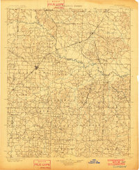 1901 Gurdon1901 Print · USGSSouthwest Arkansas at the dawn of the twentieth century was a landscape defined by the arrival of the rails and the timber industry. Researchers can trace the development of early rail towns like Gurdon, Prescott, and Whelen Springs along the St. Louis Iron Mountain and Southern R. R.3 unique versions available
 - 1953 Map of El Dorado, 1967 Print
 1953 El Dorado1967 Print · USGSSouth Arkansas in the mid-1960s was a landscape of industrial growth and river-fed commerce. Researchers can trace the extensive Oil and Gas Fields around Magnolia, the expansive U S Naval Ammunition Depot, and the busy rail lines of the Missouri Pacific.3 unique versions available
 - 1957 Map of El Dorado
 1957 El Dorado1957 Print · USGSSouth Arkansas in the mid-1950s was a critical hub of military logistics and rail-river commerce. Genealogists and historians can trace family land across the Arkansas Louisiana border and locate sites like the U.S. Naval Ammunition Depot or the rail junctions at Magnolia and Camden.
 - 1958 Map of El Dorado
 1958 El Dorado1958 Print · USGSSouthern Arkansas and the Louisiana borderlands are shown during a period of heavy rail traffic and defense industry activity. Researchers can trace the legacy of the U. S. Naval Ammunition Depot or locate family roots in Smackover, Huttig, and Nashville.3 unique versions available
 - 1960 Map of El Dorado
 1960 El Dorado1960 Print · USGSSouth Central Arkansas in the late fifties was a hub of energy production and defense industry. Researchers can trace the extensive Oil and Gas Fields around El Dorado or locate family landmarks like Old Park Cem and New Hope Church.
 - 1973 Map of Bluff City, 1975 Print
 1973 Bluff City1975 Print · USGSSouth-central Arkansas forestry and rural life are captured here in the early 1970s. Researchers can locate family landmarks like Dills Mills and Barham, trace the Reader railroad, or find historic congregations at Ebenezer Ch and St Johns Ch.
 - 1973 Map of Willisville, 1975 Print
 1973 Willisville1975 Print · USGSNevada County, Arkansas, appears here in the early seventies during a period of active petroleum production. Genealogists can locate family landmarks like Holly Springs Cem and Whites Chapel, or trace the legacy of the Irma Oil Field.
 - 1973 Map of Waterloo, 1975 Print
 1973 Waterloo1975 Print · USGSThe timberlands and oil fields of southern Arkansas are captured here in the early seventies, during a peak period of regional energy production. Genealogists and historians can trace family sites at Barksdale Cem, Harrison Chapel, and the settlement of Waterloo.
 - 1973 Map of Laneburg, 1975 Print
 1973 Laneburg1975 Print · USGSNevada County, Arkansas, is captured here in the early seventies, showcasing a rural landscape defined by creek drainages and small community hubs. Local historians can trace family sites like Laneburg Cem, Westmoreland Cem, and the historic Washington Post Road.
 - 1978 Map of Chidester
 1978 Chidester1978 Print · USGSThe Poison Springs State Forest and the waters of White Oak Lake characterize this late-seventies landscape on the Nevada and Ouachita county line. Researchers can locate numerous rural landmarks like Dills Mills, Adams Chapel Cem, and Anthony Switch.
 - 1986 Map of Hope
 1986 Hope1986 Print · USGSSouthwest Arkansas in the mid-eighties was a landscape of rail-connected towns and timbered ridges. Researchers can trace the Missouri Pacific Railroad corridor through Hope or locate local landmarks like De Ann Cem and Poison Springs State Forest.2 unique versions available
 - 1989 Map of El Dorado, 1990 Print
 1989 El Dorado1990 Print · USGSThe Arkansas-Louisiana borderlands in the late eighties show a landscape of heavy industry and wildlife conservation centered on the Ouachita River. Researchers can trace the legacy of timber and transport via the Missouri Pacific RR, Poison Springs State Forest, and the vast Felsenthal Pool.
 - 2011 Map of Laneburg, 2011 Print
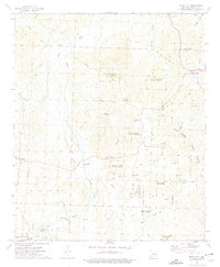
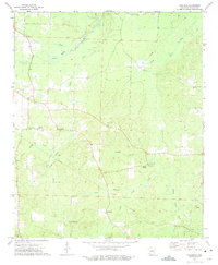
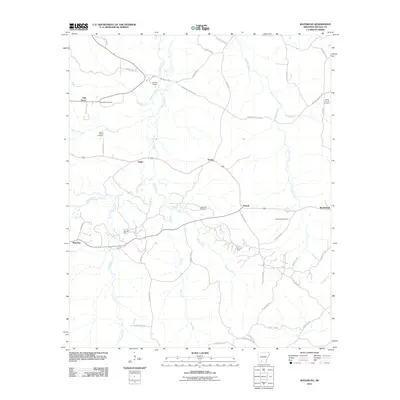
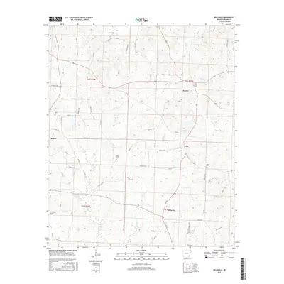
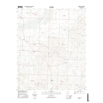
 2011 Laneburg2011 Print · USGSCovers Cale, including Mount Moriah, Laneburg, and other nearby areas
 - 2011 Map of Waterloo, 2011 Print
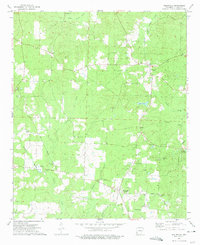
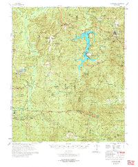
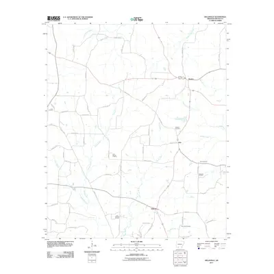
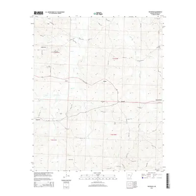
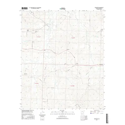
 2011 Waterloo2011 Print · USGSCovers Cale, including Waterloo, Mendenhall, and other nearby areas
 - 2011 Map of Bluff City, 2011 Print
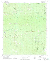
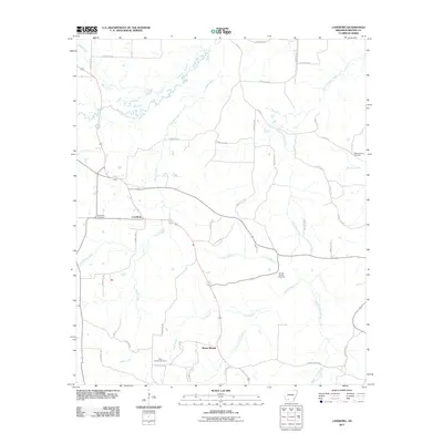
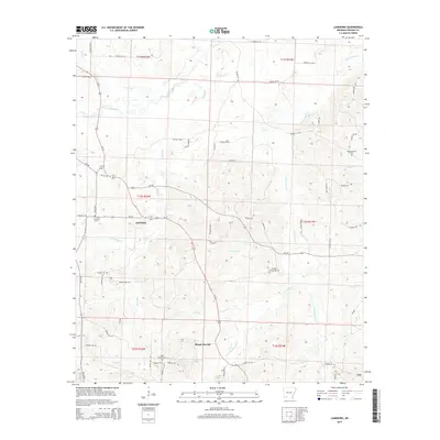
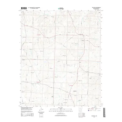
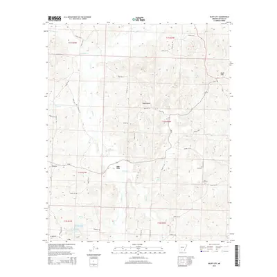
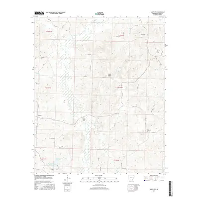
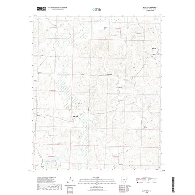
 2011 Bluff City2011 Print · USGSCovers Cale, including Bluff City, Gum Grove, and other nearby areas
 - 2011 Map of Willisville, 2011 Print
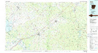
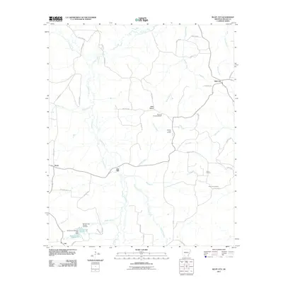
 2011 Willisville2011 Print · USGSCovers Cale, including Rosston, Willisville, and other nearby areas
 - 2014 Map of Laneburg, 2014 Print
 2014 Laneburg2014 Print · USGSCovers Cale, including Mount Moriah, Laneburg, and other nearby areas
 - 2014 Map of Willisville, 2014 Print
 2014 Willisville2014 Print · USGSCovers Cale, including Rosston, Willisville, and other nearby areas
 - 2014 Map of Waterloo, 2014 Print
 2014 Waterloo2014 Print · USGSCovers Cale, including Waterloo, Mendenhall, and other nearby areas
 - 2014 Map of Bluff City, 2014 Print
 2014 Bluff City2014 Print · USGSCovers Cale, including Bluff City, Gum Grove, and other nearby areas
 - 2017 Map of Waterloo, 2017 Print
 2017 Waterloo2017 Print · USGSCovers Cale, including Waterloo, Mendenhall, and other nearby areas
 - 2017 Map of Willisville, 2017 Print
 2017 Willisville2017 Print · USGSCovers Cale, including Rosston, Willisville, and other nearby areas
 - 2017 Map of Laneburg, 2017 Print
 2017 Laneburg2017 Print · USGSCovers Cale, including Mount Moriah, Laneburg, and other nearby areas
 - 2017 Map of Bluff City, 2017 Print
 2017 Bluff City2017 Print · USGSCovers Cale, including Bluff City, Gum Grove, and other nearby areas
 - 2020 Map of Bluff City, 2020 Print
 2020 Bluff City2020 Print · USGSCovers Cale, including Bluff City, Gum Grove, and other nearby areas
Showing maps 1-25 of 32
Top cities near Cale
- Prescott historical maps
- Stephens historical maps
- Emmet historical maps
- Chidester historical maps
- Rosston historical maps
- Willisville historical maps
See more
Frequently asked questions
- What are the different types of historical maps available for Cale?
- What is the oldest map of Cale?
- Where can I purchase historical maps of Cale for my home or office?
- Where can I download high-res historical maps of Cale?
- Are there historical topographic maps available for Cale?
- Is there historical aerial imagery available for Cale?
- Where are historical maps of Cale sourced from?